This year I’ve been slowly trying to walk my way through all the trails in the Gorge. For someone as slow as me, that’s is a pretty big thing. I know a few people who have made it across the entire Hatfield Trail in a day or two, but my pace is more… dignified? I’ve been going out at least a couple times a month, and so far have only made a tiny dent. Here, the blue lines are my tracks:
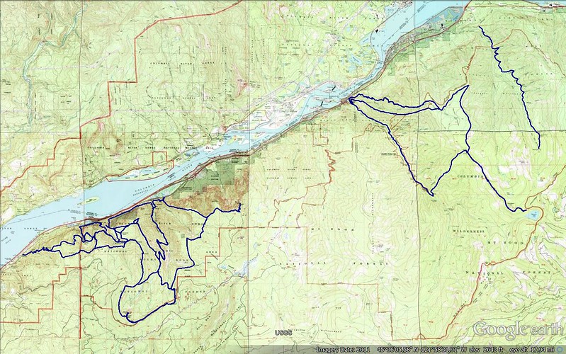
Slow as I am, I keep wondering what’s a little further down the trails, in the massive blank spaces between the small sections I’ve seen. And so I spend a lot of evenings looking at maps, thinking about walks I could take. Maps are funny like that – sets of possible futures not yet whittled into the smaller space of what can be seen in a day or year or life.
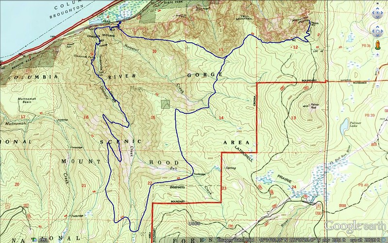
On Wednesday I went out to connect some of the dots, on a ~25 mile loop I’ve been thinking about for a while:
I got a late start, arriving at the Horsetail Falls Trailhead around 11. After a quick look at Lower Horsetail Falls and a disconcerted glance at some of the broken glass in the parking lot, I took the crazy crowded Horsetail Falls Trail (438) a short ways to Ponytail Falls. I’m sure I’ve been there before, but I don’t remember when, and it was like seeing it for the first time.

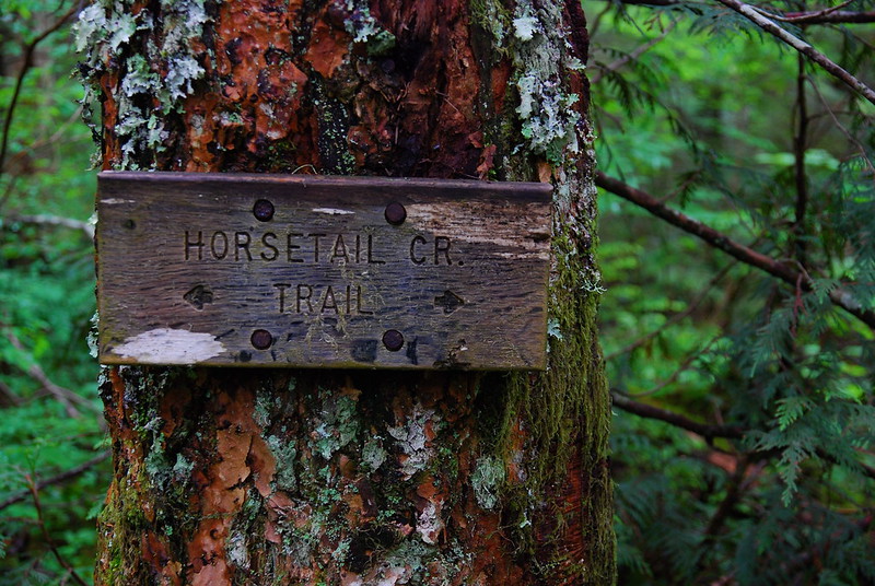
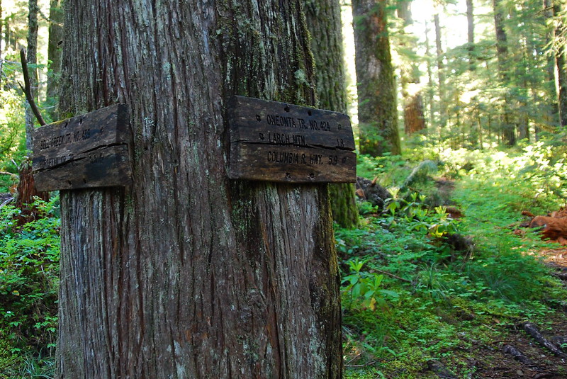
My goal for the day was to get to Bell Creek Trail, a degrading old path that crosses the high headwaters of Bell and Oneonta Creeks between Nesmith Point and Larch Mountain. There are a couple ways to get there. The classic is to take Horsetail Falls to Oneonta Trail (424), Oneonta to Horsetail Creek Trail (425), then Horsetail Creek to Bell Creek. I took a more direct route, up three miles and 3000 feet on the steep, unmaintained Rock of the Ages Trail, which follows a ridge above Horsetail Canyon to a junction with the Horsetail Creek Trail a little east of the Bell Creek turnoff.
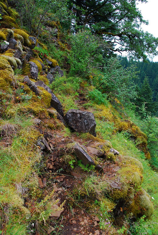
The Rock of the Ages Trail splits south from Horsetail Falls just before Ponytail Falls. It’s like going from a jumbo jet to a three seat bush plane. It doesn’t really come out in the photos, but the thing is steep.
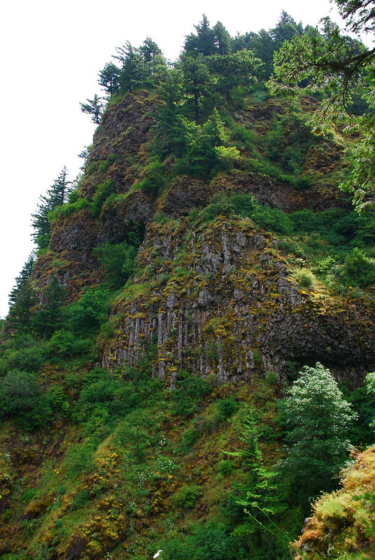
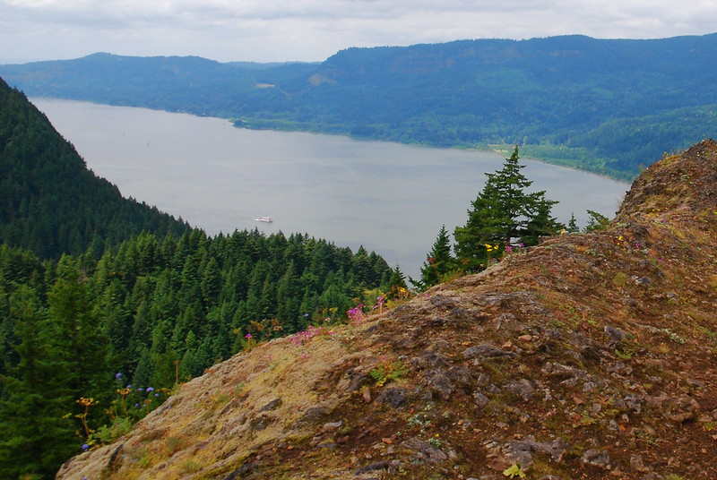
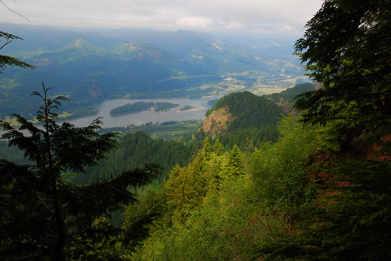
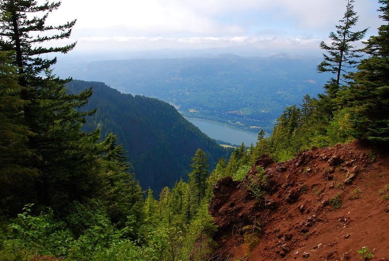
After maybe half a mile and 500 feet, things open up for a moment, and there’s a wonderful view east to the Gorge and up at some of the rock formations near Yeon Mountain and St. Peter’s Dome.
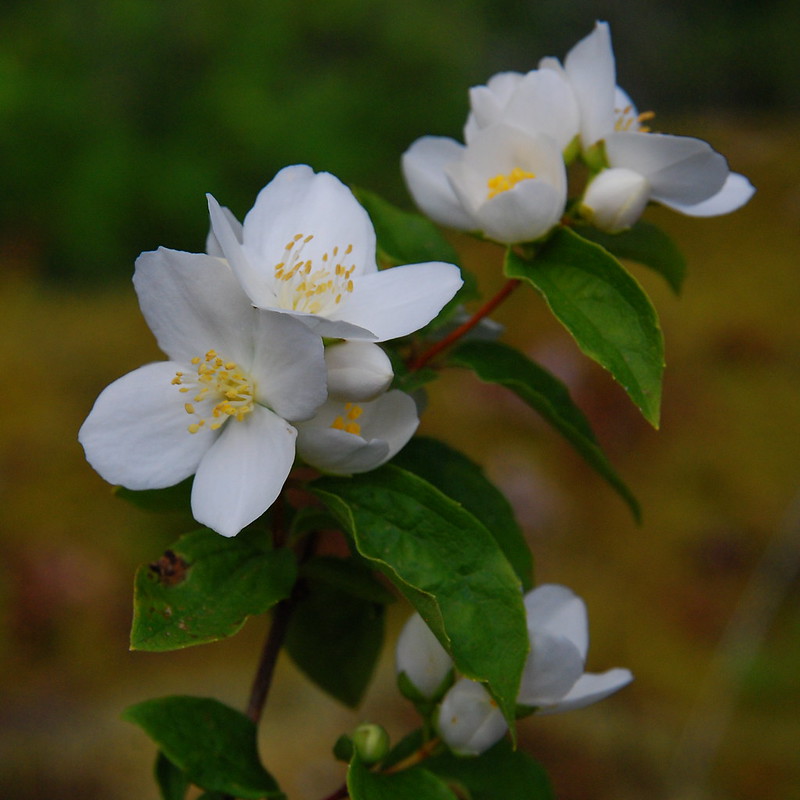
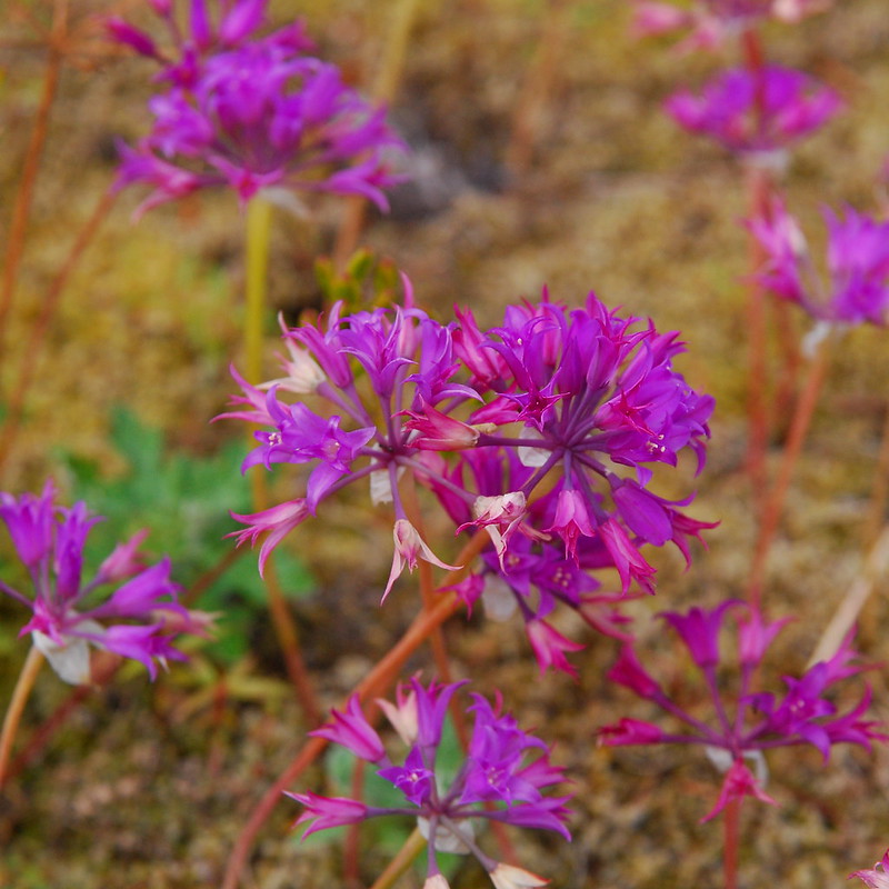
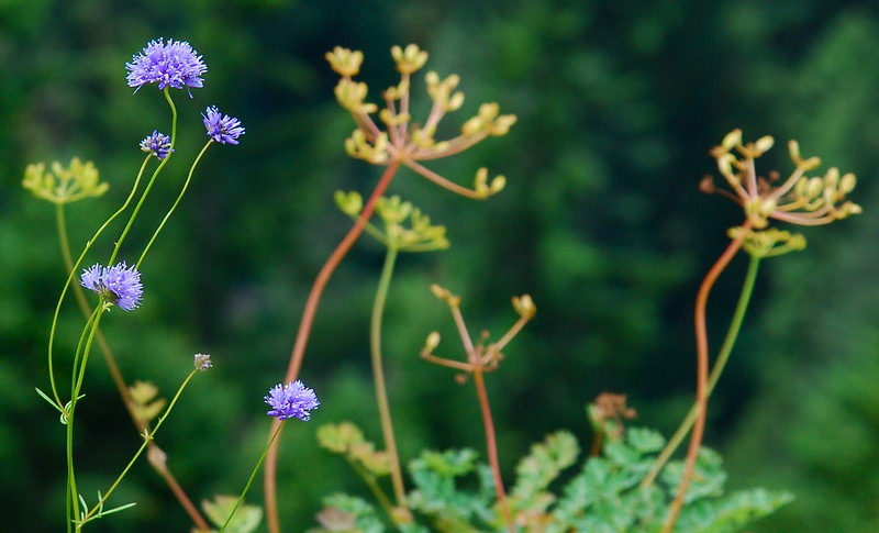
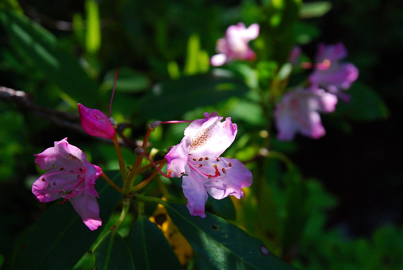
The flowers were also taking advantage of the open air.
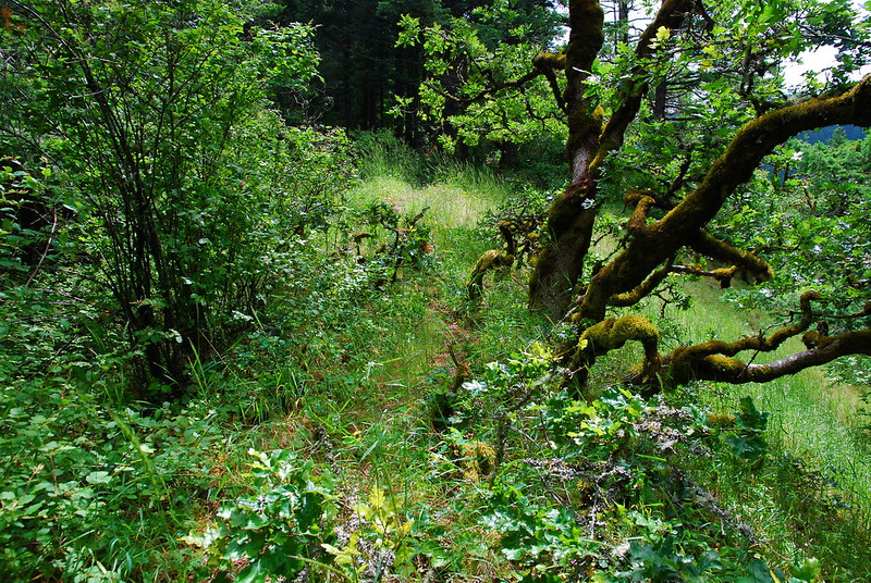
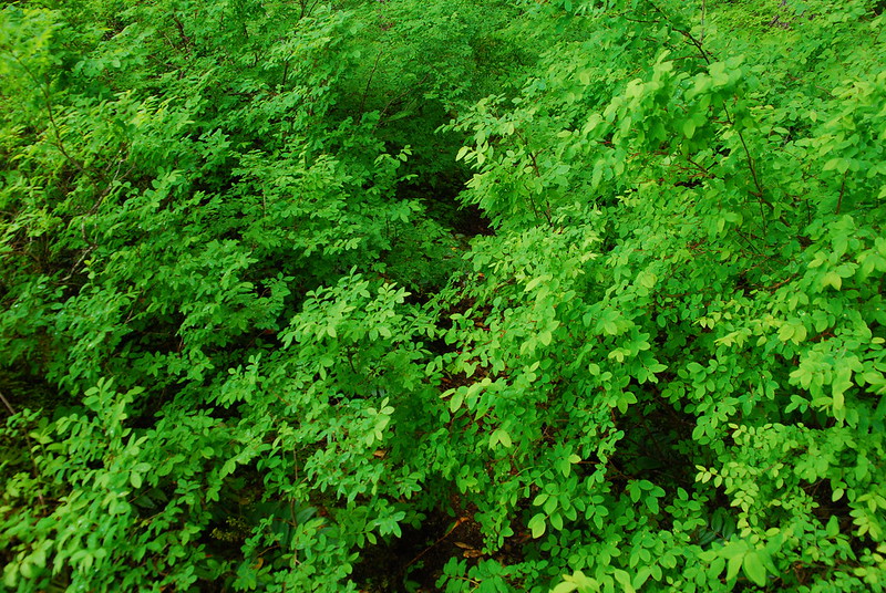
For the next half mile, the trail flits back and forth between meadows and trees.
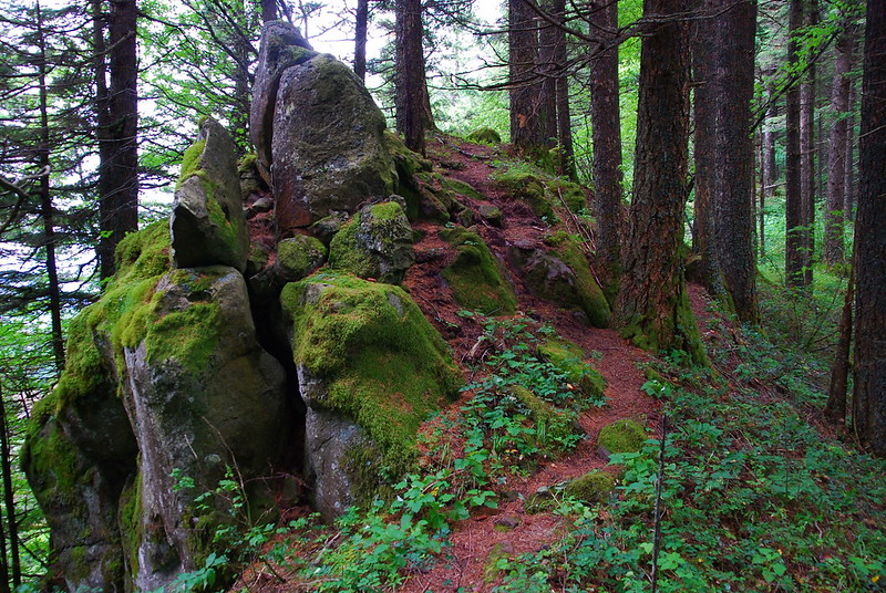
Eventually, it comes to Devil’s Backbone, a spiny rock around 1300 feet up. The drop on the west side is totally, stomach-turningly steep. Like: you’d die steep. I’ve seen people walk directly on the spine, but I stayed to the side. My fear of heights is getting better, but I still get really shaky.
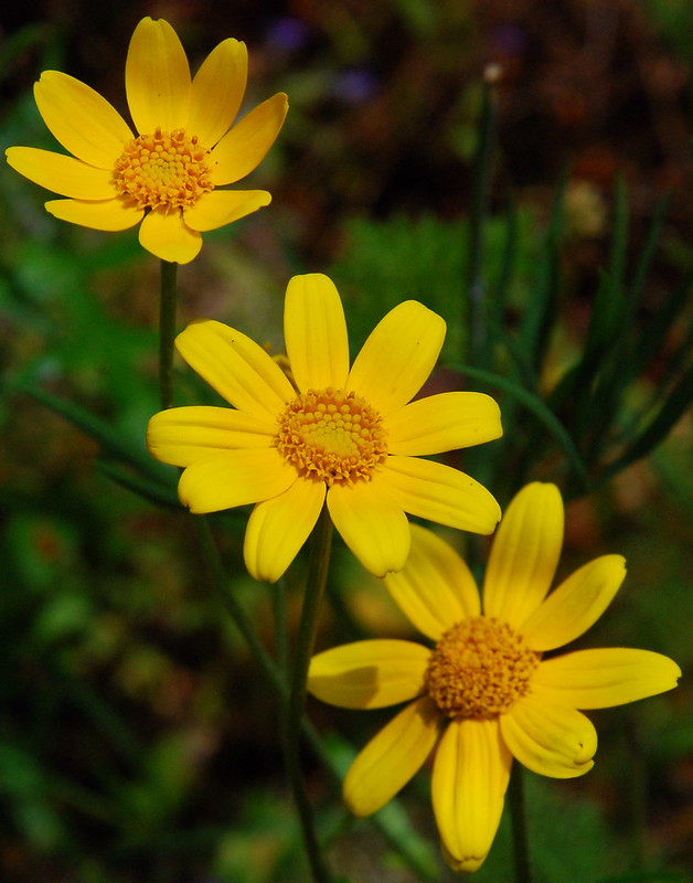
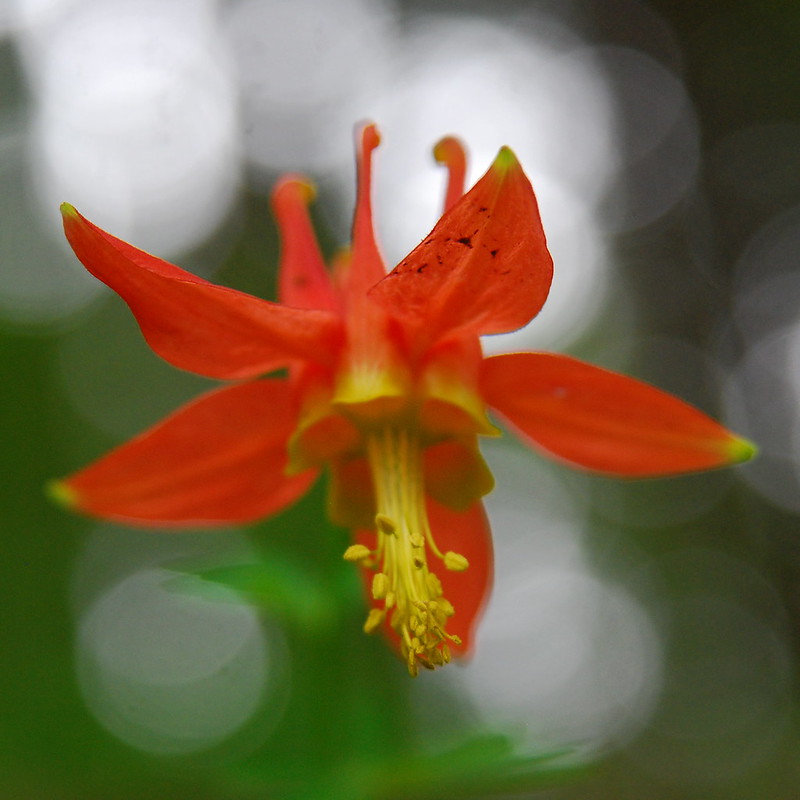
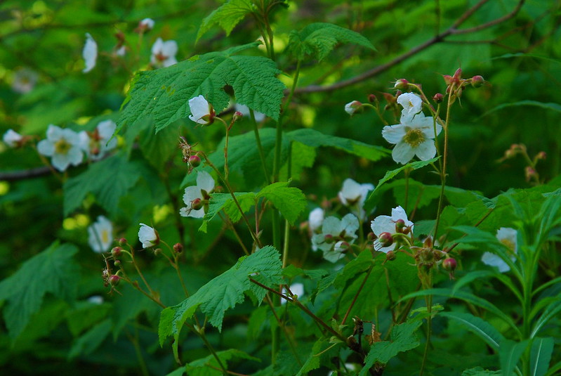
There were some flowers to compensate, though.
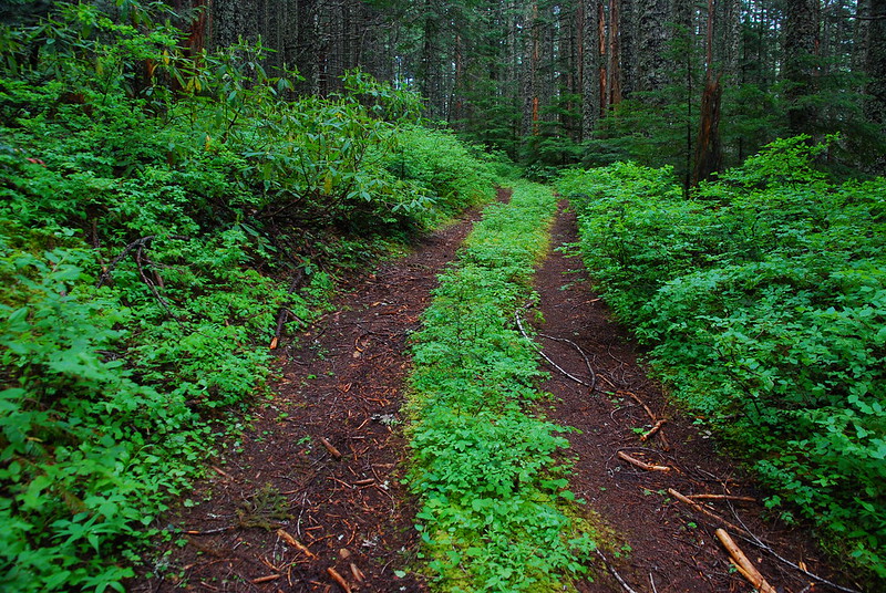
Devil’s Backbone marks the end of the really steep climbing. From there, it’s just a pleasant walk on a wooded ridge.
After way longer than three miles should take, I eventually hit Horsetail Creek.
Even though it had taken me a while, I had some extra time – or, at least, I thought I had some extra time (more on that in a moment) – so instead of going straight to Bell Creek, I first cut east to Nesmith Point. The trail is wonderfully eerie in that way a lot of the higher plateaus in the Gorge are.

And it also has views!
The trails around here don’t get a lot of traffic, and in places the brush was definitely starting to reclaim its space.
My pants got pretty soaked from rubbing on all the wet bushes, and I was happy to join the old abandoned road that leads to Nesmith Point.
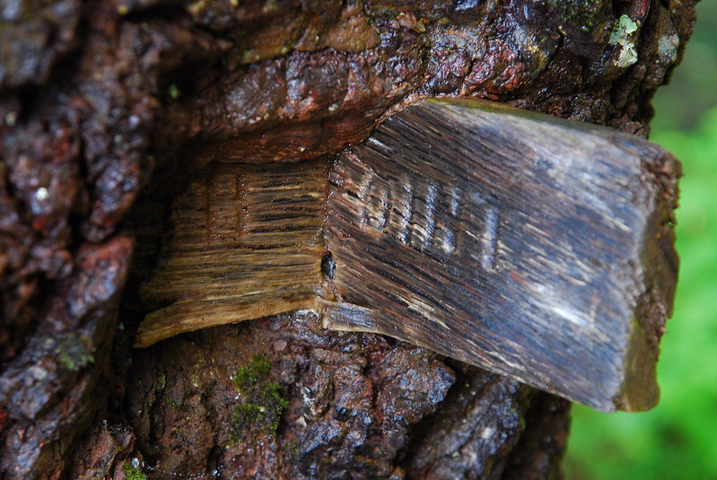
After a few minutes on the road, I was there. The sign and its tree seem to have had a disagreement. By my count, the tree won.
The view is good, but my favorite part was getting to look down at the scar from a series of landslides that happened during the massive floods in February 1996. A 2000 foot section of the cliff tore off, made it all the way down to the river, shut down the freeway for a few days, and buried a good part of Dodson.
A little more history: the point is named after James Nesmith, a 19th century Oregon politician and complete failure of a human being. He served as captain in several wars against Native American tribes – the Cayuse War from 1847 to 1848, Rogue River War in 1853, and the Yakima War in 1855. In 1857, he became Superintendent of Indian Affairs for the Oregon and Washington Territories. As Gray Whaley notes in a very good book on the period, when Nesmith was asked of how to deal with conflict between the Chetco people and white settlers on what is now the southern Oregon coast, he replied: “[I] see no way that the settlers in those infested neighborhoods can rid themselves of the nuisance, unless they can hit upon some mode of their [the Chetco people’s] extermination, a result which would occasion no regrets at this office” (p. 202).
Yea. Not exactly the sort of person we ought to be honoring. Or remembering at all with anything but shame.
But it’s not all so nasty. A lookout was built here the early 1930s, and stood until the late 1960s. Here it is in 1933 (photo by Al Monner):
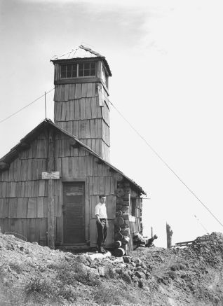
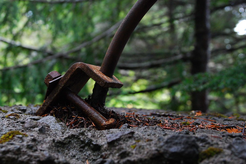
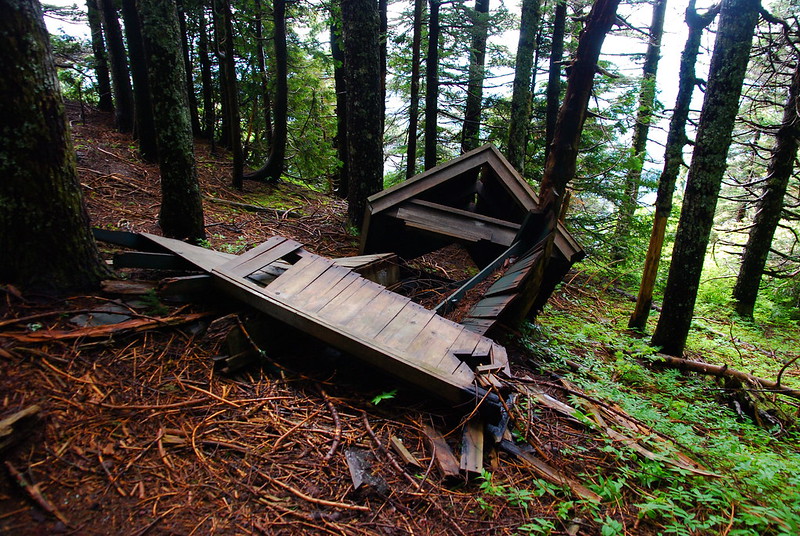
All that remains now are some boards lying on the ground a couple bits of metal screwed into the rocks. Hard to believe it’s the same place.
For years there was also an accompanying abandoned outhouse, standing at various angles between vertical and horizontal. These days, it’s mostly the latter.
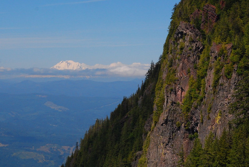
After happily playing around in the wreckage for a while, I noticed that it was getting a little late – around 3:30 – and started scurrying back down. By now the morning clouds and burned off, affording excellent views of the Gorge and Mount Adams.

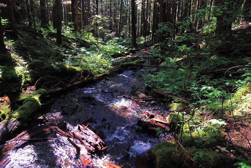
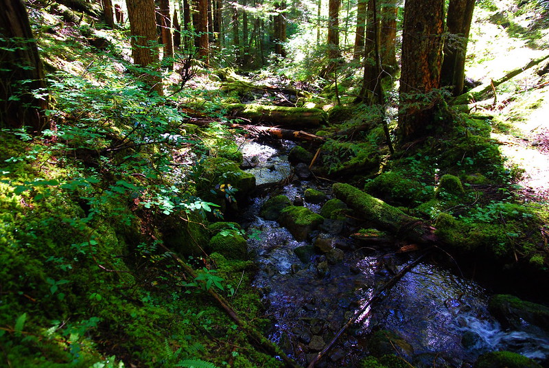
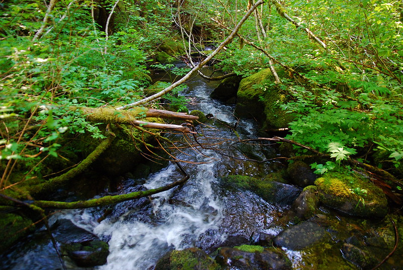
After passing the Rock of the Ages junction, the trail crosses the three branches of Horsetail Creek.
1.
2.
3.
I told myself that, in order to complete the hike as planned, I would need to get to the Bell Creek junction by 5, so that I could have a couple hours to get to more familiar territory, then at least a little flex time before sunset. I got there at something like 5:09, and decided to press on anyway.
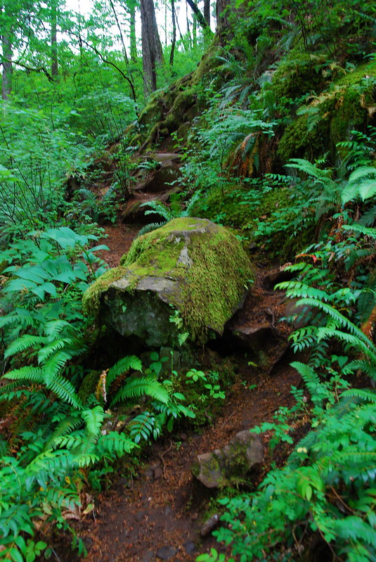
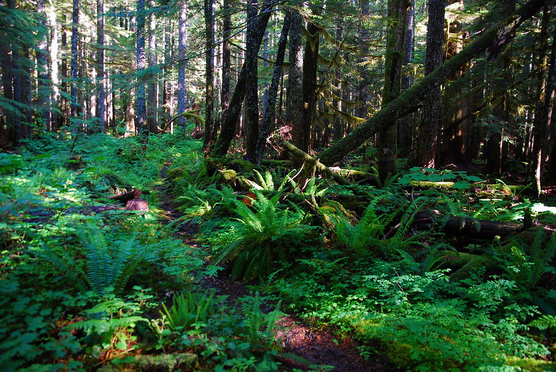
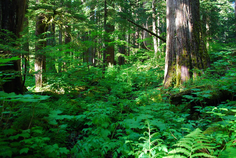
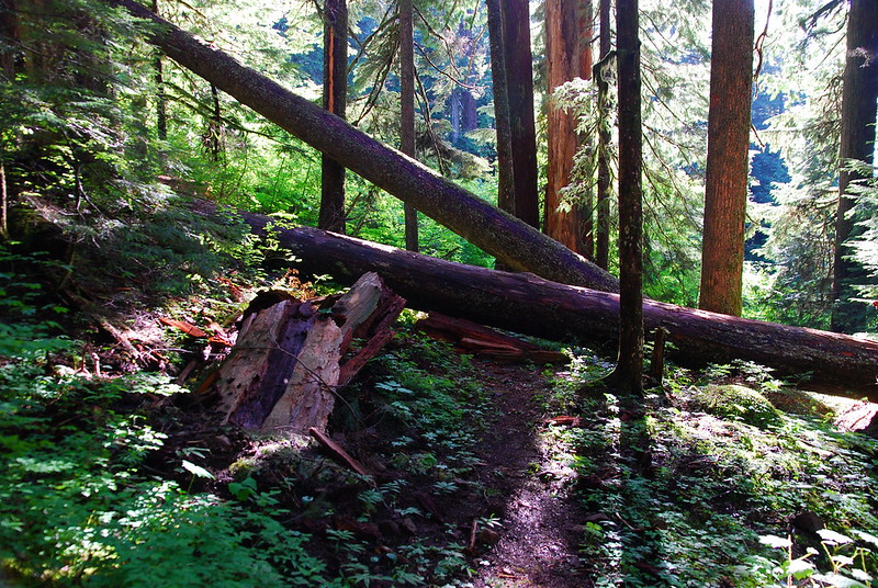
The Bell Creek Trail’s been largely abandoned for years. But it passes through arguably some of the best preserved old growth in the Gorge, and there’s recently been some effort, mostly by volunteers, to keep the trail at least passable.

It’s hard to explain the feeling of old growth. There’s a thickness to the forest, an intertwining more complicated than elsewhere.
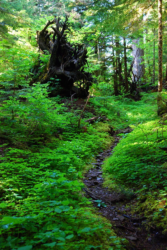
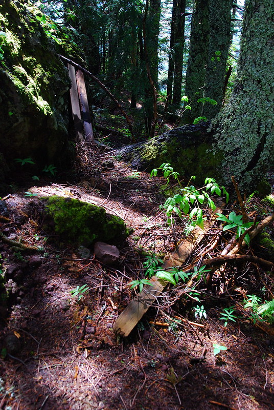
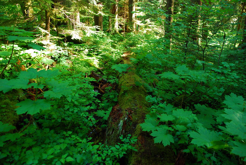
Unfortunately for me, there was also a thickness to the underbrush. When I was first looking through my photos, I couldn’t figure out why I took this one. Then I realized that it’s of the trail. Not terribly obvious, is it?
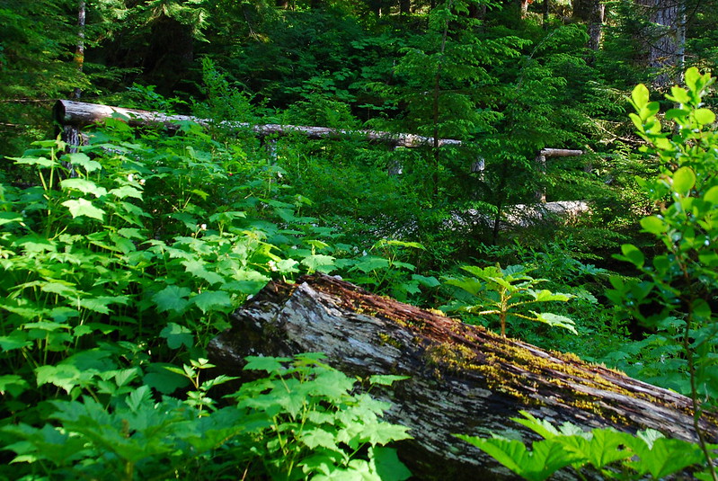
Here it’s a little better: the trail is the log. At least I think it is…
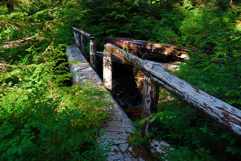
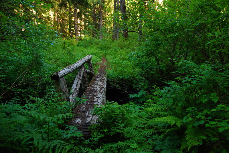
For a while I wasn’t actually sure if I was following the trail or just a trickling creek. But then I saw a (very!) old foodbridge, crossing the headwaters of Bell Creek.
It’s a little more obvious once you’re on it.
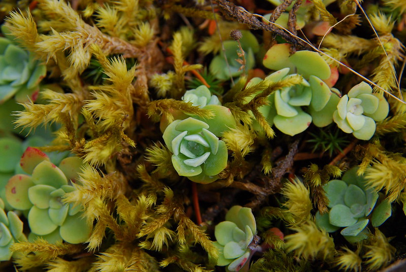
Past the crossing, a few flowers had come out to say hello.
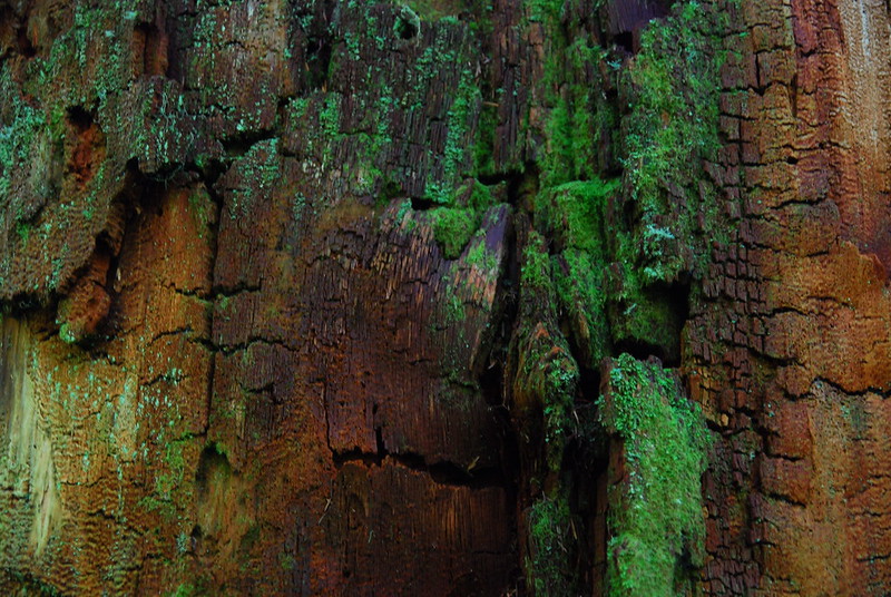
And a few old giants popped down too.
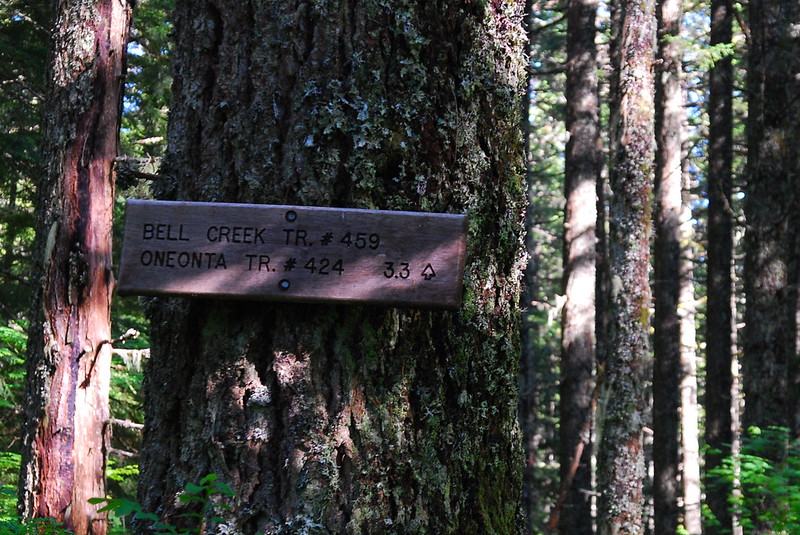
As the sun was starting to set, I hit the Oneonta crossing and the Oneonta Trail junction.
Whew!
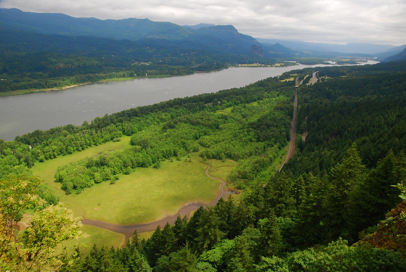
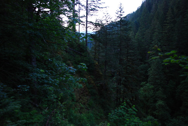
It was now a little before seven, and I had quite a ways to go before the car. I wasn’t worried, because the trails back are all pretty familiar, but walking in the dark is still a drag. I put the camera away and concentrated on getting down quickly. Here’s the view from dinner, maybe four miles later.
I made it back to Ponytail Falls without a headlamp, but got a little spooked passing under the falls – in the dark, the rocks looked like people or animals or something – so I put one on for the rest of the trip. I made it back to the car around 9:30, threw my stuff in, and went straight home for a beer.
I love the feeling driving back from hikes like this, looking back at the new, thicker bits of my map. We came back to the area on Friday, up Oneonta Gorge and for a little wade in the pool under Ponytail. I was still limping from this hike, but it was already like visiting old friends.
