This one will be mostly pictures. A couple weeks ago my dad and I took a quick (summer?) stroll through the St. Helens blast zone, from the Hummocks Trailhead past the closed Johnston Ridge Observatory to the high point on Harry’s Ridge and back. It was surreal to be alone in a typically tourist-clogged wonderland.
1.
We get a late-ish start, leaving Portland around ten and hitting the Hummocks TH around noon. There are maybe thirty cars there, but no one on the trail. They’re all out, it seems, on springtime drives through the hills.
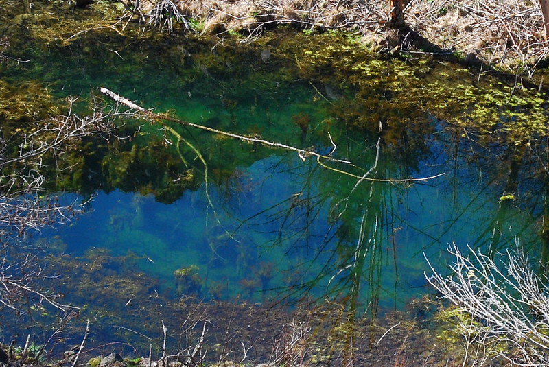
There’s a short loop trail here with interpretive signs and all that. Moving sidewalks and handrails wouldn’t be out of place. We take the shorter segment of the loop, hurrying to reach the wilder Boundary Trail, which leads up through the blast zone. It’s my first time here, and I’m surprised by all the ponds (and frogs!).
2.
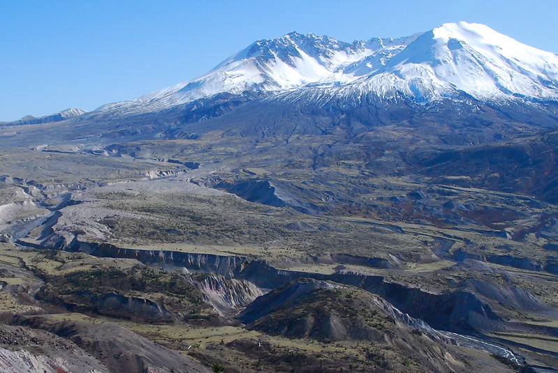
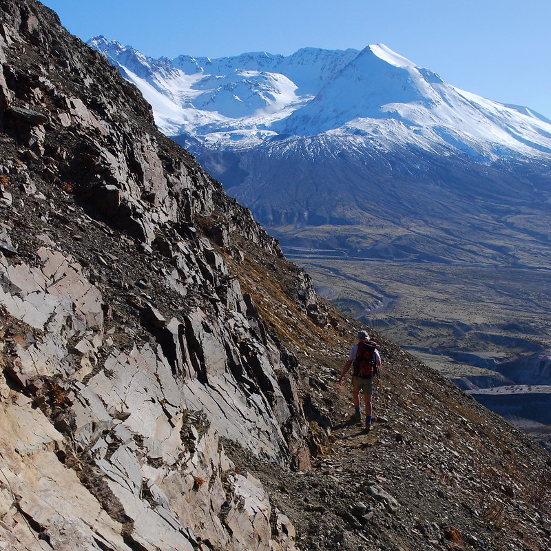
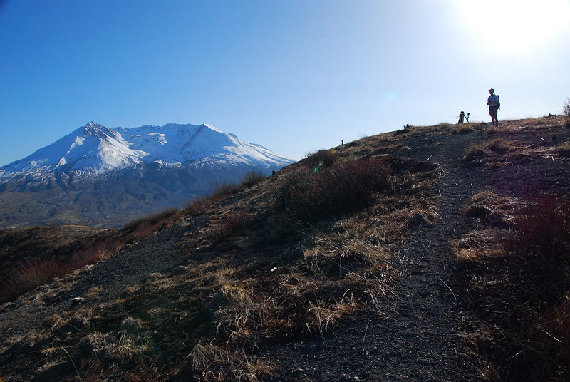
The nice things about this hike – or: one of the many nice things about this hike – is that the views are excellent pretty much from the outset, and just get better as you go.
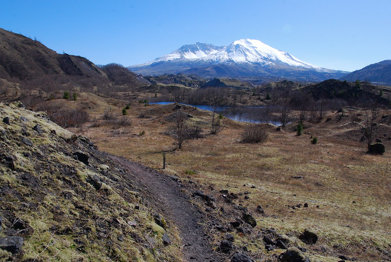
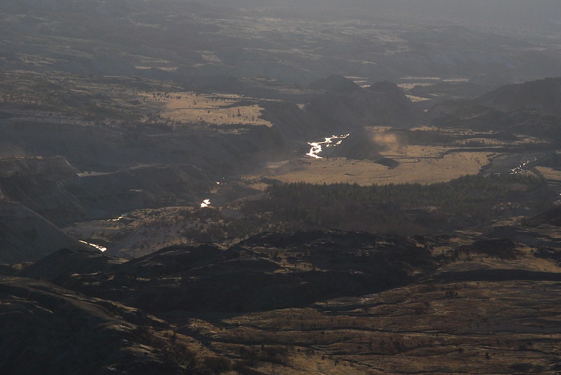
Looking down at the North Fork of the Toutle River.
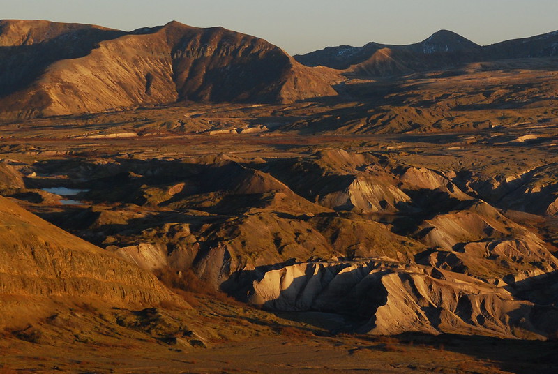
I love the stream-cut canyons through the mud, ash, and lava.
3.
In short order we hit the massive, empty parking lot for JRO, and walk through to the continuation of the Boundary Trail. A histrionic sign informs us that we were on a “Fee Trail.” But they haven’t put the summer turnstiles in yet, so we decide to risk it.
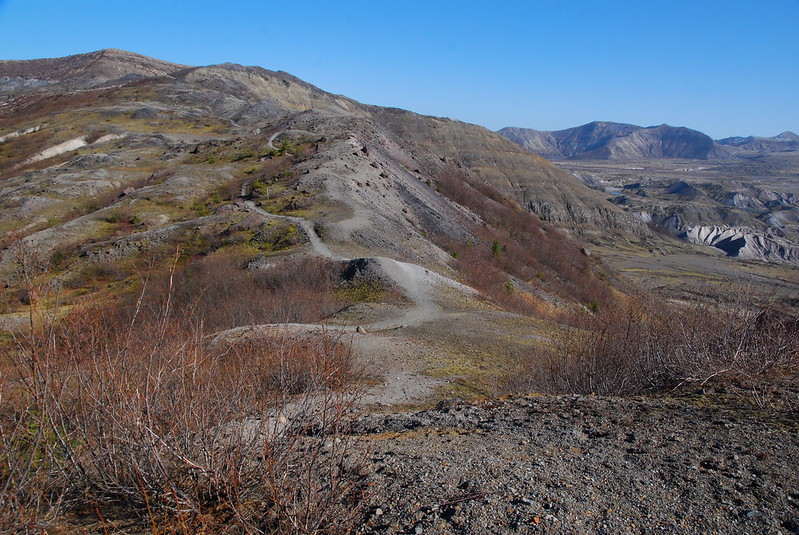
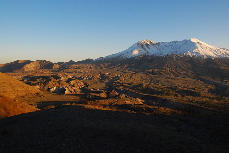
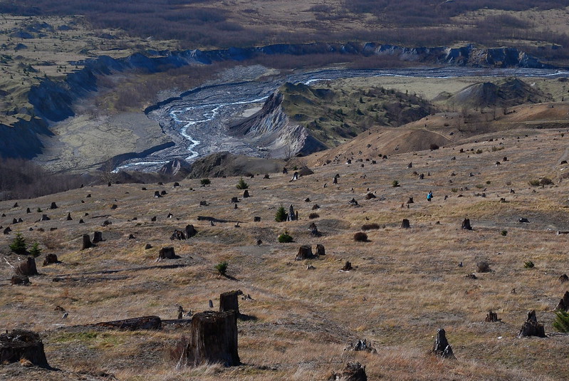
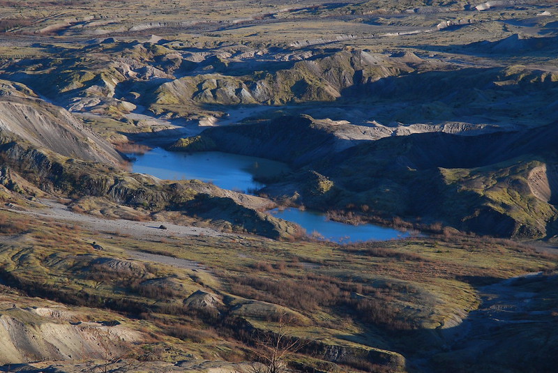
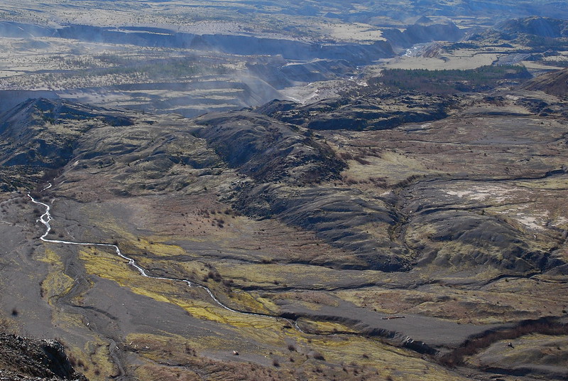
Looking down there are these gorgeous, seasonal ponds. None of them have names – things change so fast here that everything but the most permanent features remain nameless. And the new features that do have names – Johnston Ridge, Harry’s Ridge – are named after people who died in the eruption.
4.
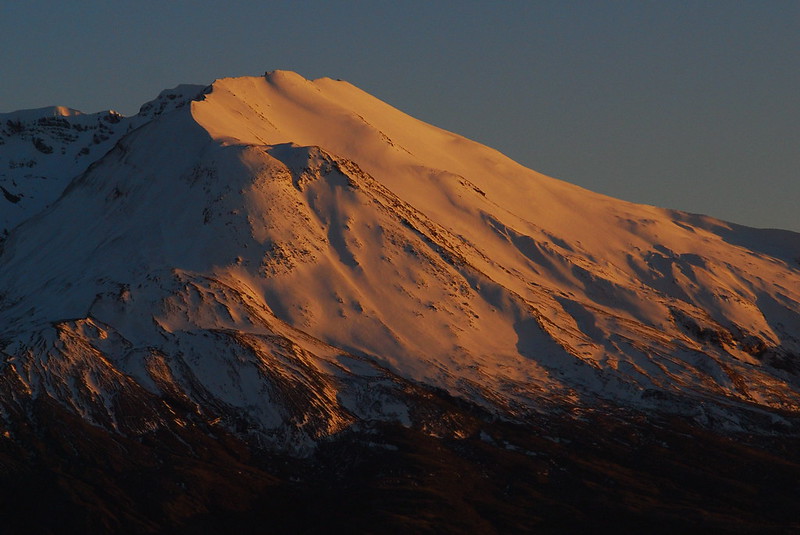
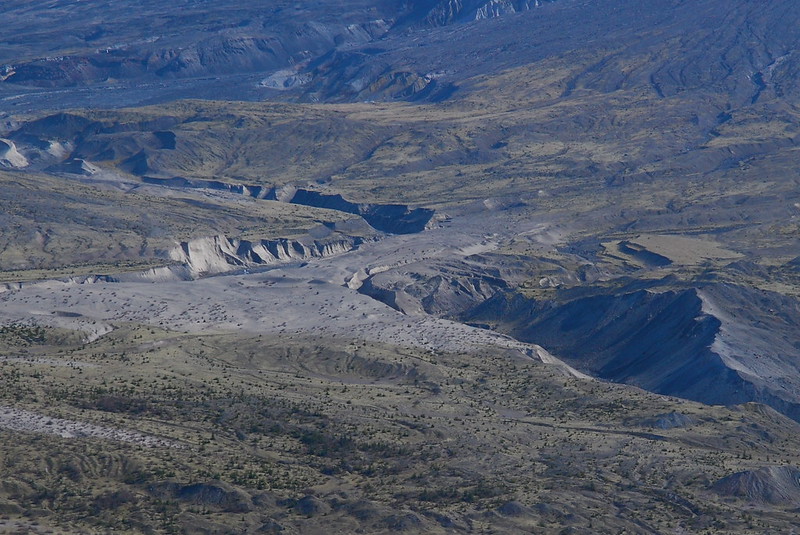
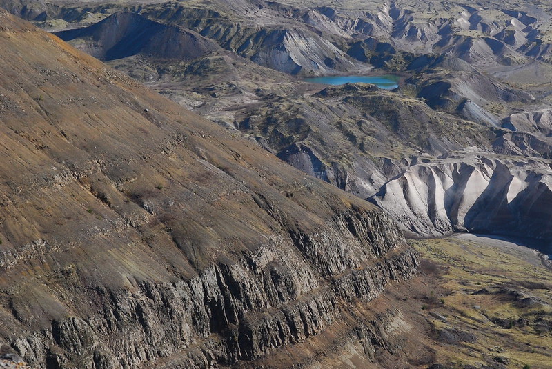
After a mile of easy downhill walking, we reach Devil’s Elbow. I’d been a little nervous about the generally washed out trail here, but it’s not a problem at all. We kick steps into the ash, watch small rocks tumble down a few hundred feet, and stare into the crater.
More blast zone canyons.
5.
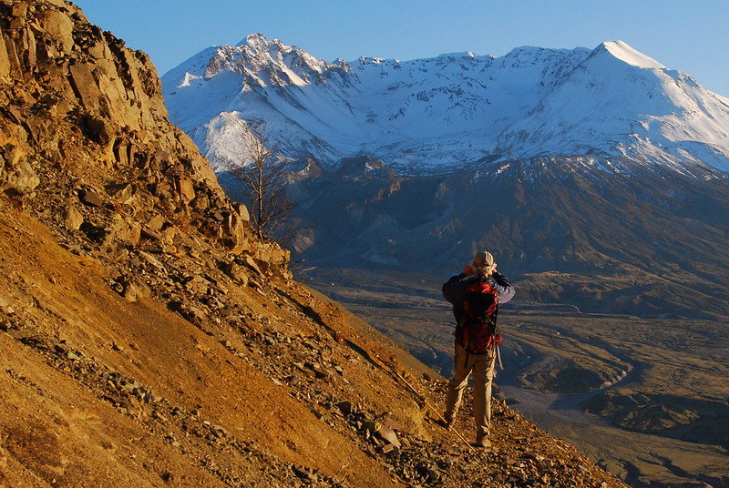
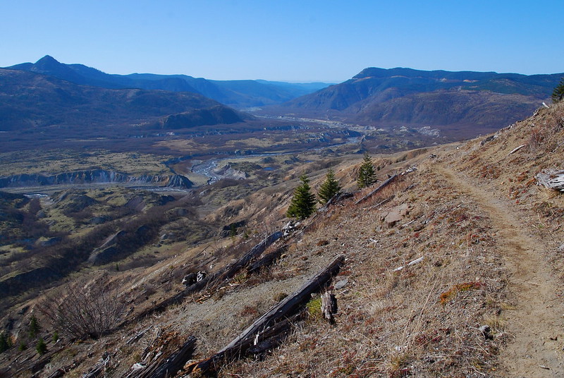
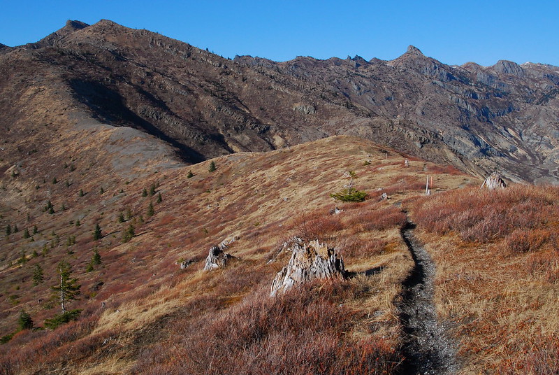
We unknowingly blow by the Truman Trail junction (on the way back, we notice the sign lying a few feet down a steep hill), and in short order are through The Spillover and climbing the short trail to the top of Harry’s Ridge, with gorgeous views over Spirit Lake to Mount Adams.

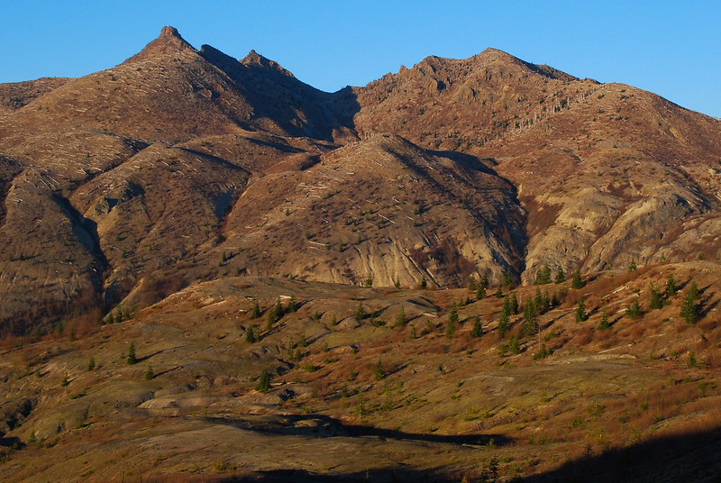
Looking back toward Coldwater Peak.
6.
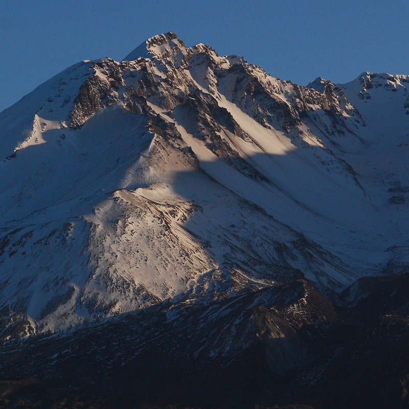
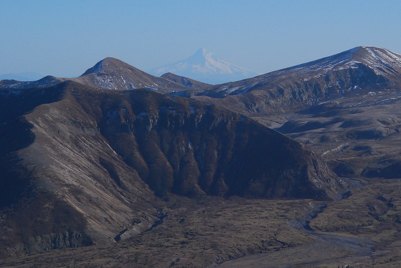
We eat a quick, late lunch at the high point, with excellent views of Hood and, of course, St. Helens, drinking a few beers on the concrete foundation of what was once probably a fire lookout. There’s seismic monitoring equipment, and we jump up and down, giving, I hope, a room full of USGS scientists a momentary thrill.
7.
It’s getting late, and we don’t turn back until around 4:30, hoping to get past Devil’s Elbow by sunset. We walk fast, and make it almost all the way back to the car before needing headlamps. In the interim, we’re treated to the most gorgeous golden hour – or, better, golden hours.