Last Friday I did a fantastic, cloudy loop on some of the Columbia Gorge’s least visited, most remote, trails: Tanner Creek, which starts six miles up a closed road and is, for most of its length, also a stream; Moffett Creek, which climbs up the west side of the Tanner Creek drainage, passing by an old World War II powerline guard station and ending at Nesmith Point, an old fire lookout; and Wauneka Point, an out-and-back trail along one of the finger-like ridges that extend north from the high plateau that separates the Bull Run and Columbia drainages, petering out at a complex of Native American vision quest pits that overlook the old Bridge of the Gods. I didn’t see a single person for the first twenty-three miles.
Starting from the Eagle Creek TH, I went up Road 777 and Tanner Creek to the Moffett Trail, then up on Moffett to Nesmith Point, down the Nesmith Trail to the 400, and finally came back on a combination of the 400 and Old Highway to Eagle Creek. I never know about mileage in the Gorge, but I’d guess 27 miles and somewhere between 7000′ and 8000′ elevation gain.
1.
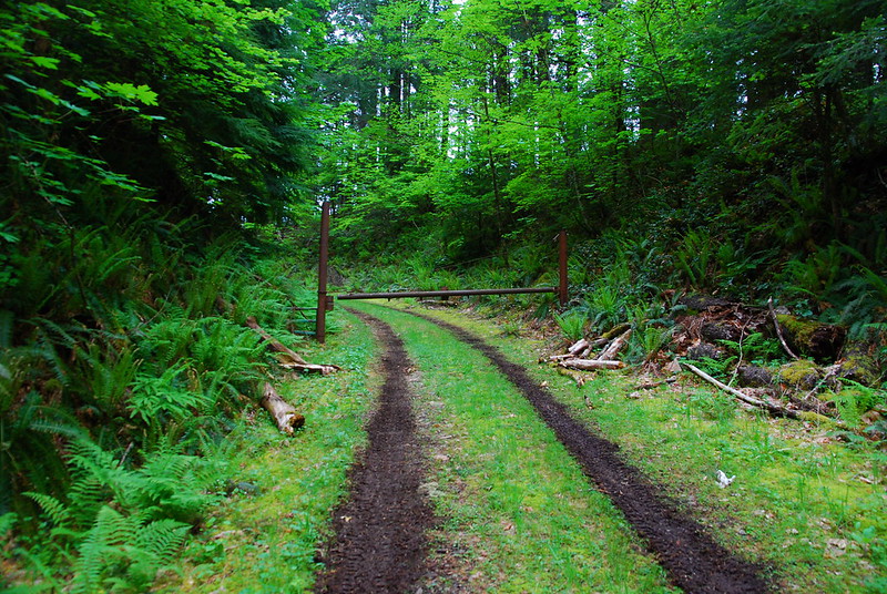
I drop Krista off at work early, stop for a few gallons each of coffee and gas, and drive out to Eagle Creek. This loop can be done from a bunch of trailheads – Yeon, Toothrock, and Wahclella Falls are the most obvious – but I park at Eagle Creek because it’s familiar, and there’s a camp host now, to watch things over while I’m gone.
It’s raining when I get there, and there’s a couple rambling around the lot, looking for change for a twenty so they can buy a day pass for parking. They’re in all new clothes, with what look like all new packs. Their boots are pristine and just looking at them gives me blisters. I don’t have any change, but do my best to direct them to Cascade Locks. They get into their all new SUV, which incongruously blares Beck as they drive off. As I walk off away from Eagle Creek, I remember the song they’re listening to. It was on an early commercial for Wild.
I follow the Historic Highway and an ancient overgrown portage road to Road 777. (The route’s confusing, but there are good directions here.) Road 777 has been closed to public traffic for years, but it still gets use from Bonneville workers tending the buzzing powerlines, which crisscross the road a half dozen times as it winds up the Tanner Creek drainage. As the road winds, the tracks fade, as they’re slowly overtaken by flowers and moss and grass. It happens so gradually that I only noticed it afterward.
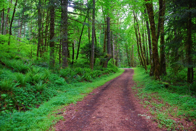
As the tracks fade so does the rain. And I feel, very quickly, like I’m out in the woods again.
2.
I vaguely jog down the road – never really committed enough to make a proper show of it, but worried enough about getting through everything I want to get through before dark that I’m at least moving faster than normal. What is this thing I do? Is it jogging? Is it powerwalking? Is powerwalking still a Thing? Am I allowed to powerwalk if I’m not a 68 year old woman with a thing for yachts and casual senior dating sites? Probably not.
Luckily, for me, no one’s ever been around to see me do… whatever it is I do. I deeply suspect it looks something like this.
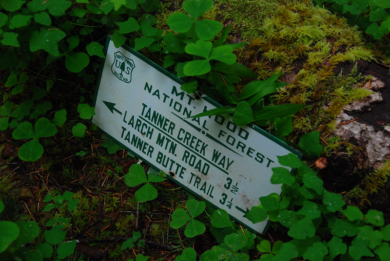
A few minutes after leaving Eagle Creek I pass the old, closed Tanner Butte Trailhead, with its antique signs.
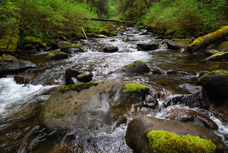
And a view of the powerlines crossing Tanner Creek.
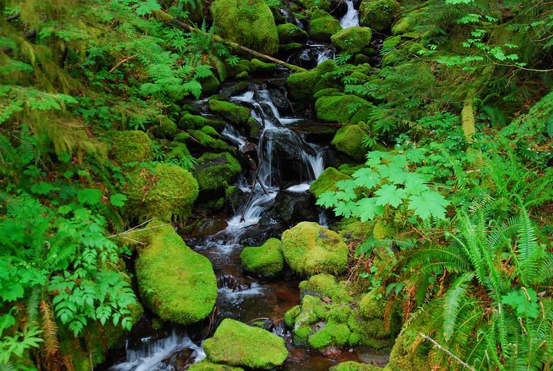
There are a thousand streams, running down from Tanner Ridge and passing under the road in corroded old tunnels, then cascading further down the slope to meet Tanner Creek a few hundred feet below. Homesick oceans.
For every stream there’s an outcrop of new flowers that I don’t recognize. Sometimes the flowers are so small that I don’t realize they’re flowers until I’m standing right over – or, on one unfortunate occasion, on – them. I think that maybe I should buy Krista a wildflower guidebook. She’s always stopping, taking pictures more beautiful than I can ever manage, and telling me these fantastically whimsical common names for them. “Fairy Slippers.” “Tiger Lily.” “Chinese Lanterns.” I want to get her a guidebook, but at the same time, I hope she never stops telling me the names she learned as a kid. Every time she says one, it’s like getting a postcard from her as a child, written as she walked through the woods with her mother.
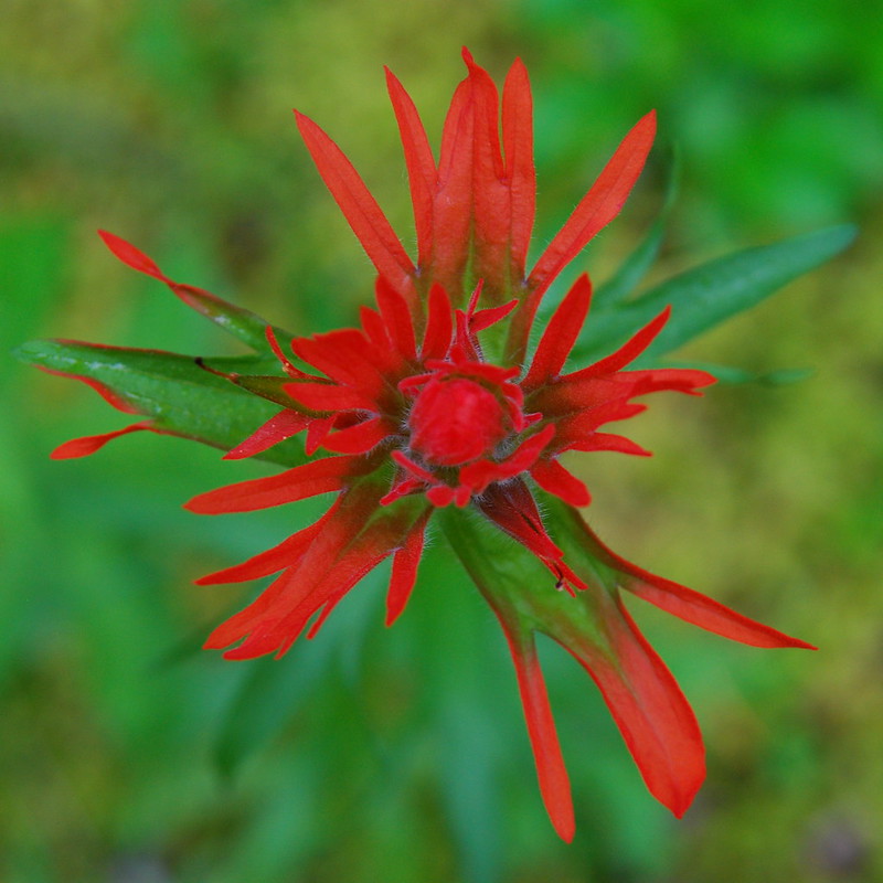
Here’s one even I know. Everyone calls it Indian Paintbrush. An ugly common name. I call it Prairie Fire.
3.
There’s no sign at the beginning of the Tanner Creek Trail, but it’s relatively obvious, especially as someone has carved “TC” in a standing stump. I walk off the fading road onto a faded trail, immediately overgrown with every possible shade of green. A little ways down, there’s a set of very old looking signs.
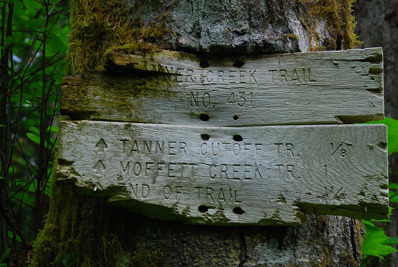
I love this one.
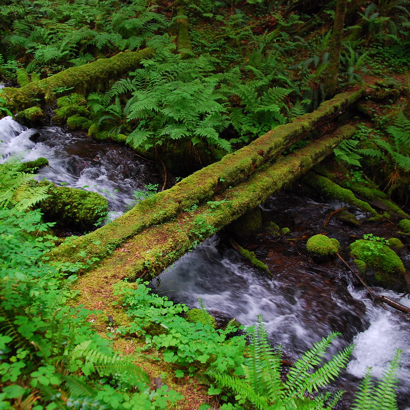
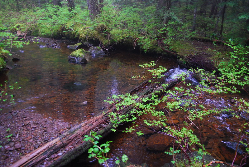
There are torrents of water coming down from Tanner Ridge now, in all conceivable – and some inconceivable – directions. An inch of water over everything. The trail’s essentially one long stream crossing. But there are occasionally deeper bits, over which there are ancient bridges. I love them too.
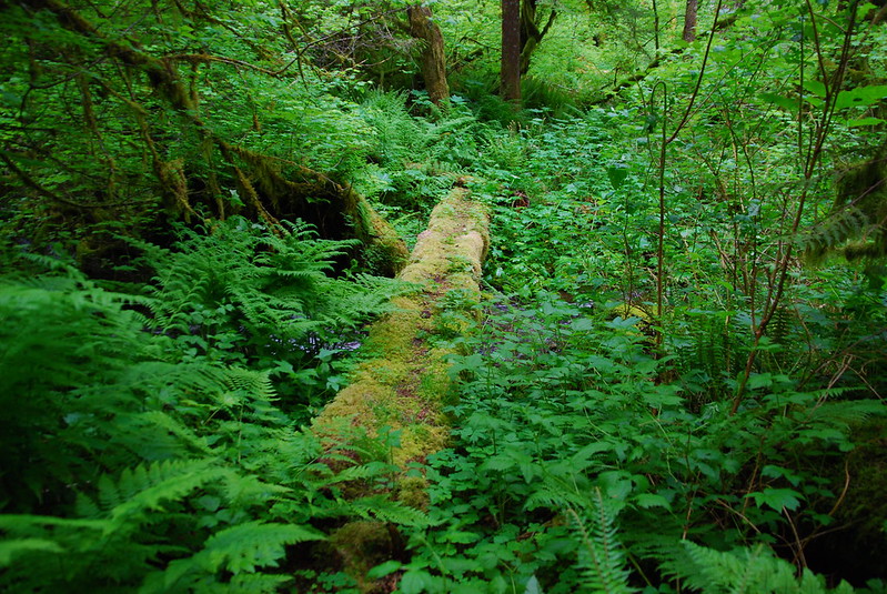
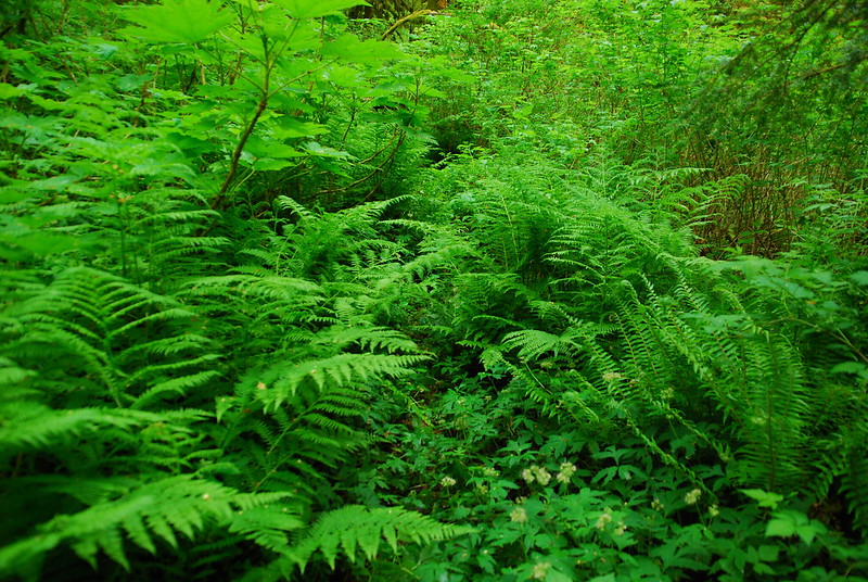
The trail’s seen a huge amount of volunteer trail work over the last few years. (The Forest Service has sort of given up, and, being so far from the nearest parking lot, it doesn’t get a lot of visitors.) Some sections of the trail are still a little brushy, though. The trail’s in the middle of this picture:
4.
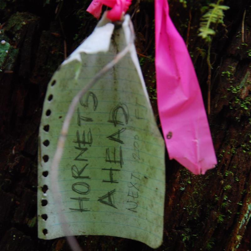
A little ways in, there’s a sign warning of hornets, but they seem to be either gone or in a magnanimous mood.
While walking carefully, I see this fellow.
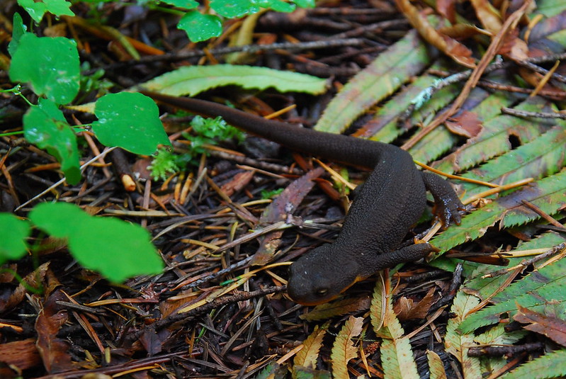
And then half a dozen more like him. They’re everywhere! I watch my step – or at least I watch my step when I can see my feet through the brush – thinking of Krista years ago, lowering her boot at glacial speed, worried about crushing frogs.
5.
There’s some flagging marking where the Moffett Trail splits off to ford Tanner Creek, but no official signs. There is, though, this somewhat nonsensical sign at the junction:
Apparently the Tanner Creek Trail used to extend much, much further south, to a tangle of roads that connects to Larch Mountain. I wish it still did. As it stands now, it fades into nothing a quarter mile past the junction, at an old burned-out campsite.
A few hundred feet after splitting off, the Moffett Trail fords Tanner Creek. I change into flip flops, as dry crossings rarely turn out well for me. At the deepest point, it’s just over my knees. I stop in the middle to take a picture:
After crossing, I sit on a rock on the other side, listening to the Flaming Lips with my feet in the water, having a late breakfast.
6.
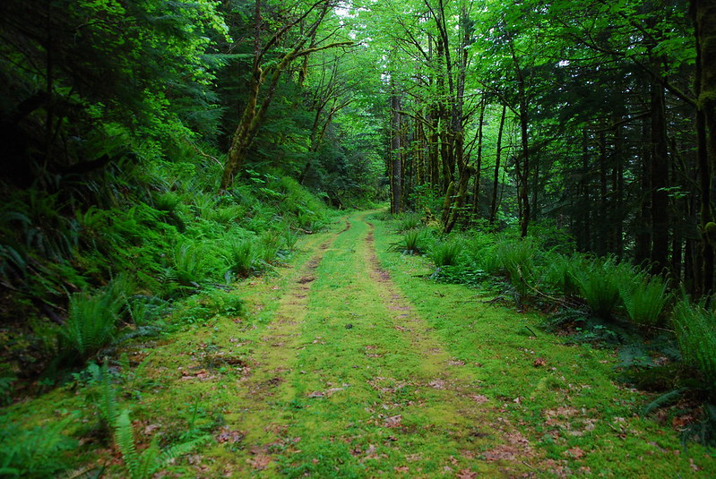
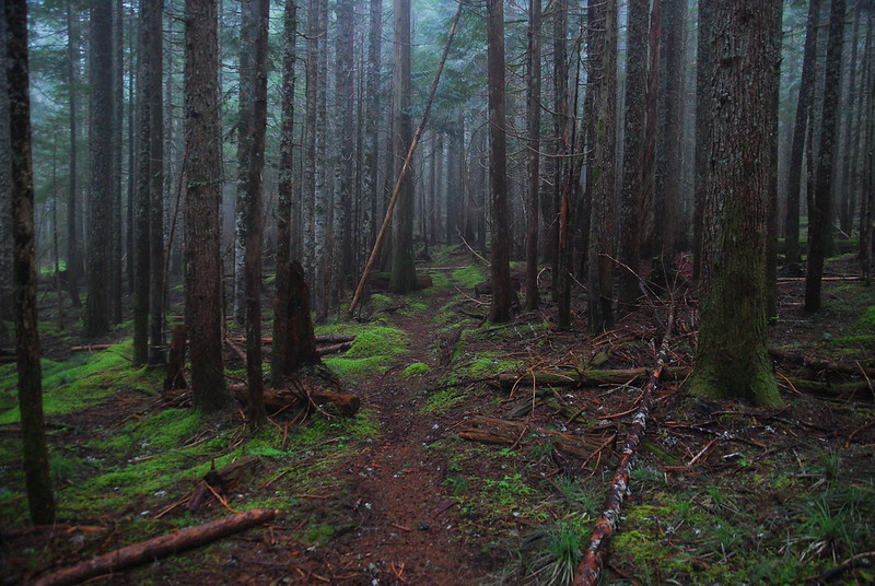
I’d expected the Moffett Creek Trail to be edging back toward wilderness too, but it turns out to be much easier to follow than Tanner Creek. The only big problem is that the tread consistently seems a little eroded, like the trail wants to become part of the hillside again. A few times I have to kick steps into the mud.
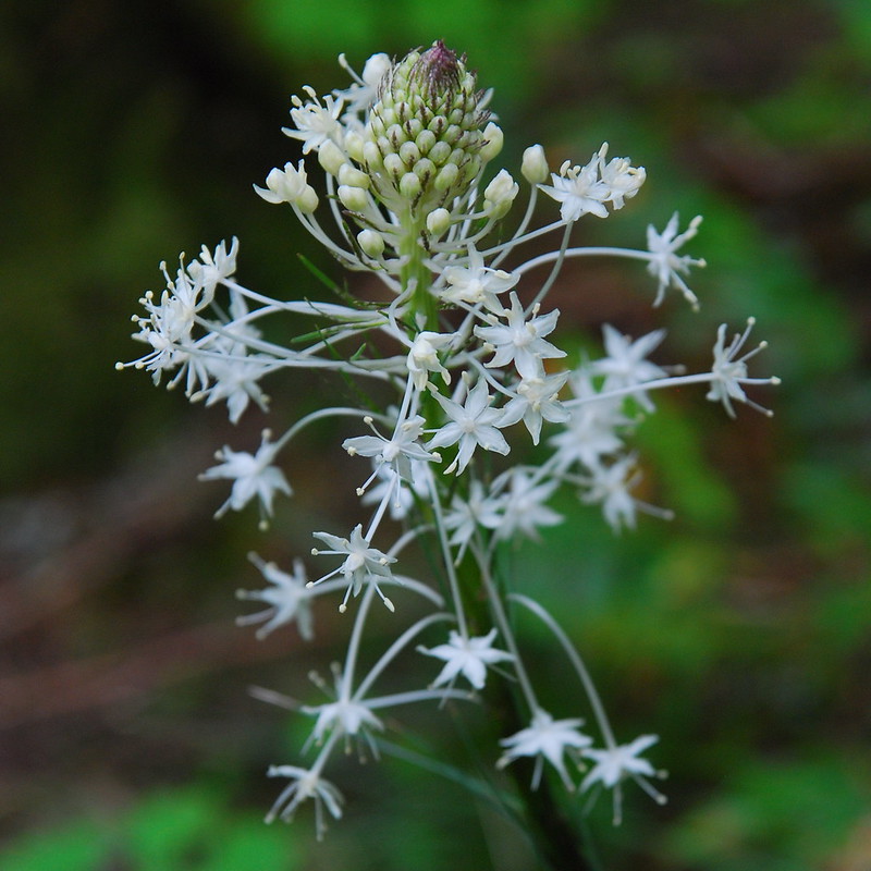
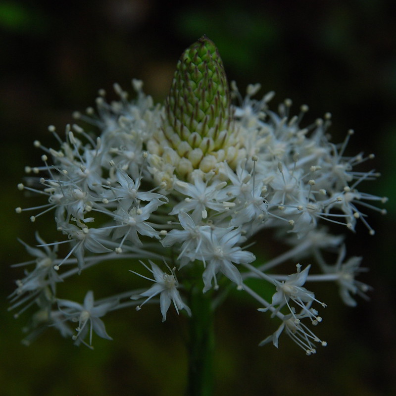
Around 3000′ I look up to see a small section of hill covered in white. Beargrass!
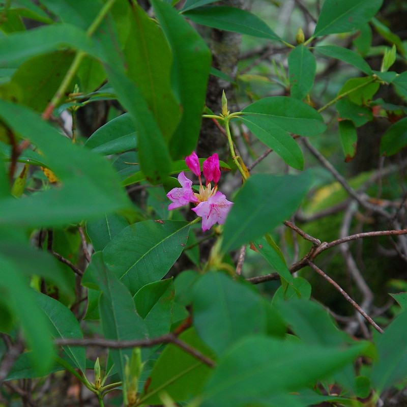
A little later, the rhododendrons are just getting ready for their early summer show:
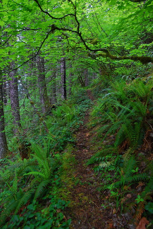
And the trail itself is really pretty. It’s a long ways from anywhere, but I’m so glad that it hasn’t faded into oblivion, and so thankful to everyone who’s put in the work to keep it alive.
7.
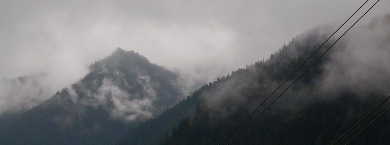
Around 3500′, I enter a cloud that will stick around until below Nesmith Point. It’s not too cold – at least not at first – but it’s wet and clammy.
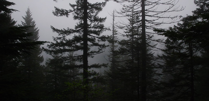
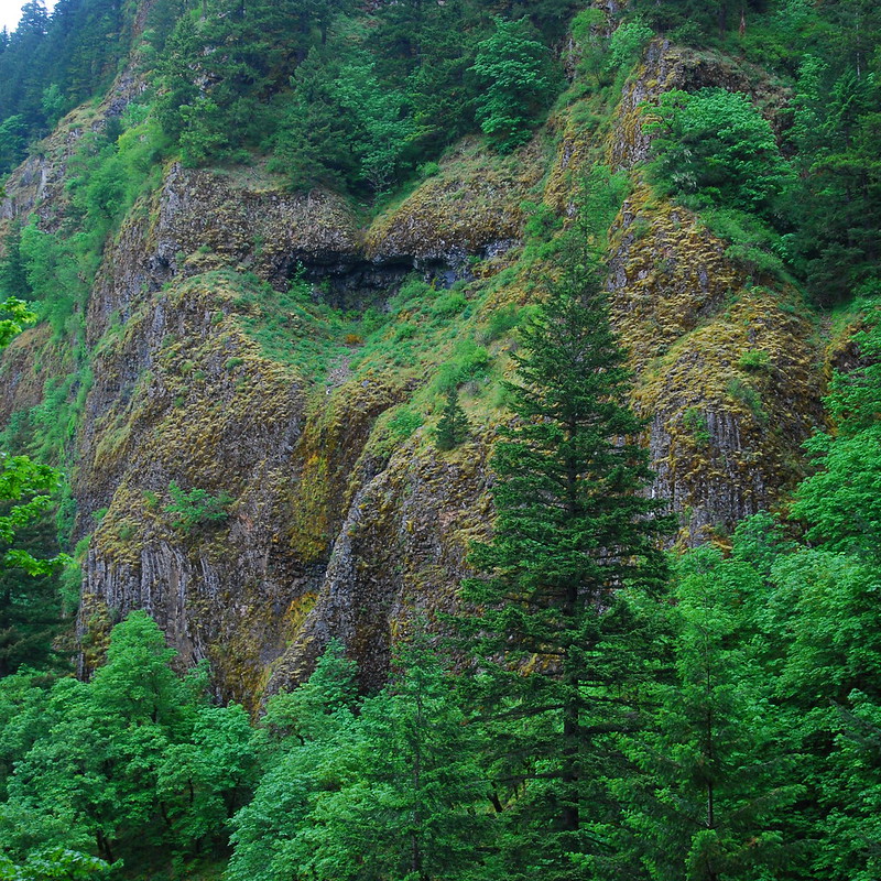
The views from Von Ahn Rim are… subdued:
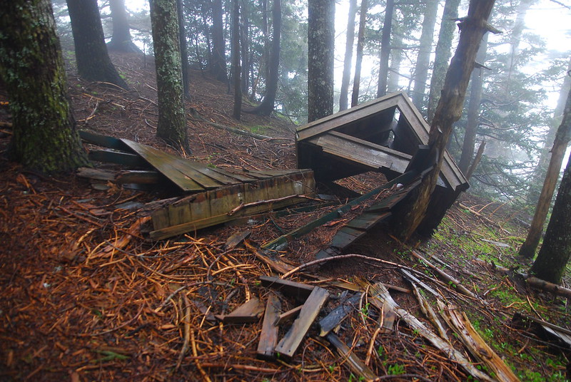
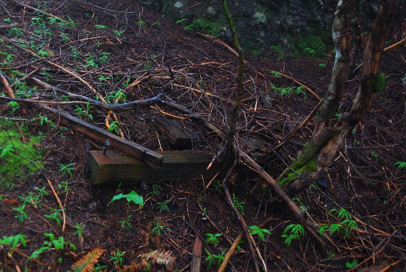
There used to be a developed camp here, “Von Ahn Camp.” All that remains now is a fire pit being swallowed by the soil.
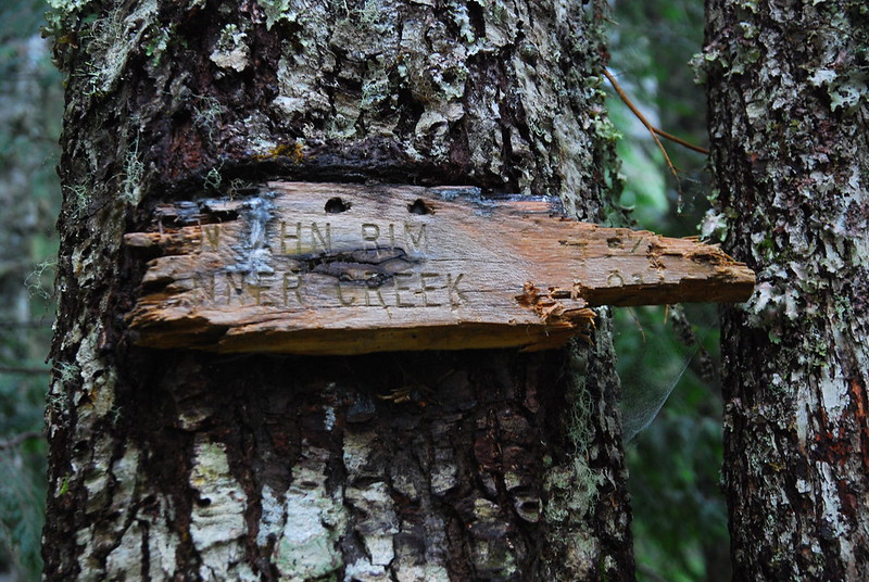
8.
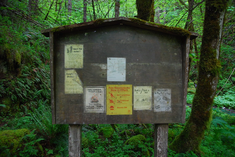
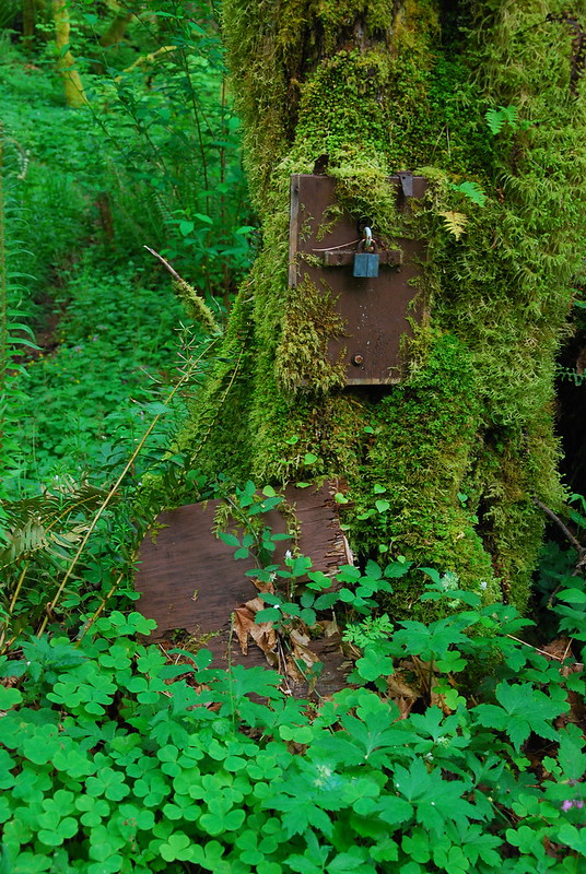
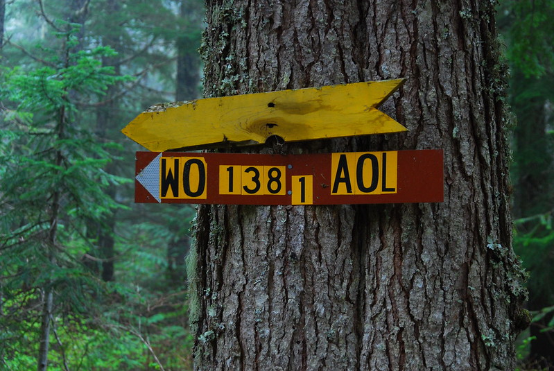
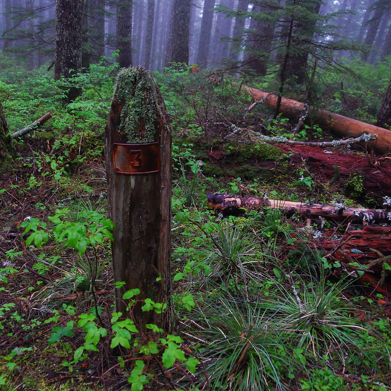
The trail levels out a bit, and there are a couple powerline road junctions. The trail signs here are ancient:
And the road signs are impossible to understand.
9.
As I’m crossing the road, I hear the strangest buzz bending through the trees. It’s subtle at first – it could be some sort of strange stream – but as I walk forward it grows louder and more jagged. Like an engine or an amplifier. An amplifier: that’s it. Like it high school when our parents would be gone and we’d turn our guitar amps way too loud, play the three chords we knew.
But it’s not an amplifier either. It starts to sound like something by Fennesz. Chainsaws? I start to get a little creeped out. Soon, though, I run into a meadow, and find the source. Through the white-out fog, I can just see the top of a pylon, loaded prodigiously with powerlines.
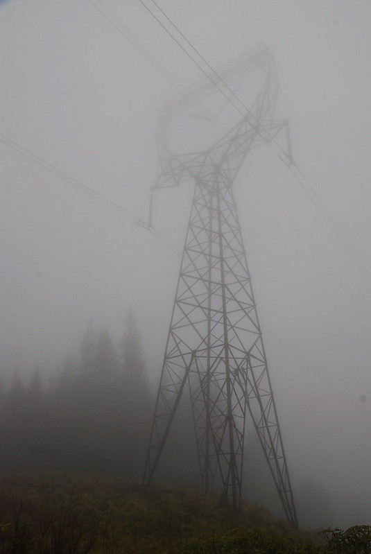
As soon as I know what the sound is, I wish I didn’t. I walk into the trees on the other side of the meadow and stop to listen, trying to forget the powerlines, trying to hear the sound just as sound. I move my head around the trees, sit down to hear if it’s different closer to the ground. It is. The buzz is centered somewhere around B-flat, but it’s a dirty B-flat, like something played by a thousand slightly out-of-tune guitars, all strumming as fast as they can.
Now there’s hooting too. It’s an owl! It’s singing into the fog. Singing solo over our electric drone. And now there’s a raven, screeching above it all. They’re singing harmony. And now too there are song birds in the far distance, singing for sun. I close my eyes for a long time listening to it all, wishing that I had some way to record it all. But if I recorded it all, when I played it back, sitting comfortably in our apartment, would it sound the same? Of course it wouldn’t. I can’t take it with me. And that’s what makes it so dear. I’ll never hear it again, not like I do in this moment.
10.
All of a sudden I notice that I’m shivering. Hard. Huh. I get up, jog in place for a second, put on my puffy jacket and raincoat, and start moving. Then I’m too hot. Huh. I take off my puffy jacket and then things are wonderful.
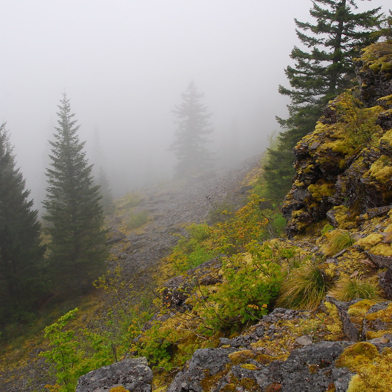
I’m feeling so confident after this whole temperature control thing that I decide to take a side trip to Wauneka Point. The trail’s like too many of the high routes in the Gorge, too far from anything to see much use. Usually the views are wonderful – a talus slope and vision quest pits overlooking the river. But today it’s all fog and wet brush. I make it to the end and back without taking a single picture, telling myself that I’ll come back some other time. I will, too. Some sunny day.
Back on the main trail, I reach Moffett Creek, hop across on a well-placed log, and filter a couple liters of water.
And then I motor a creepy couple miles through the thin forest to Nesmith Point Road. It’s almost completely silent, and almost completely gray.
11.
I do the obligatory push up to Nesmith Point, though the view turns out to mostly just be a fuller vision of the cloud I’ve been looking at, and in, for a few hours. It’s also wildly windy and cold and I get chilled again. I eat a quick late lunch near the summit block, then scurry down the Nesmith Trail toward hopefully clearer skies.
12.
The Nesmith Trail seems to have a split identity. For the first and last parts, it’s easy, soft walking through the forest. But for the middle part, as it passes through a landslide canyon, it’s rocky, eroded, and tough. I run into the first people I’ve seen all day in the middle of the rocky section, who ask exhaustedly how much further to Nesmith Point. I tell them in miles, but they want it in time (!?). I say I guess it depends on one’s speed, but they find this very unsatisfying. Insultingly unsatisfying. Existentially unsatisfying. Weird. An hour?
Anyway, I love the rock faces in this area.
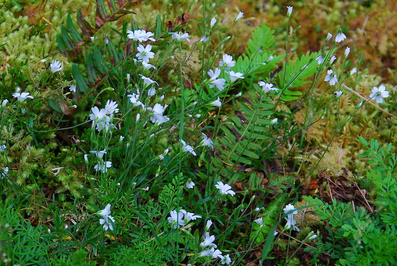
And flowers!
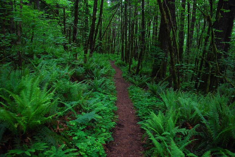
The trail eventually levels out, and it’s back to pleasant, fast woods walking. I love the contrast with the gray near Nesmith.
13.
The Nesmith Trail runs into the 400 Trail – the Gorge’s main low-elevation east-west route – and I start running into groups of people. Big groups, presumably on short jaunts to Elowah or McCord Falls, who give me the usual “Why the big pack?” looks. “Why are your legs so muddy?”
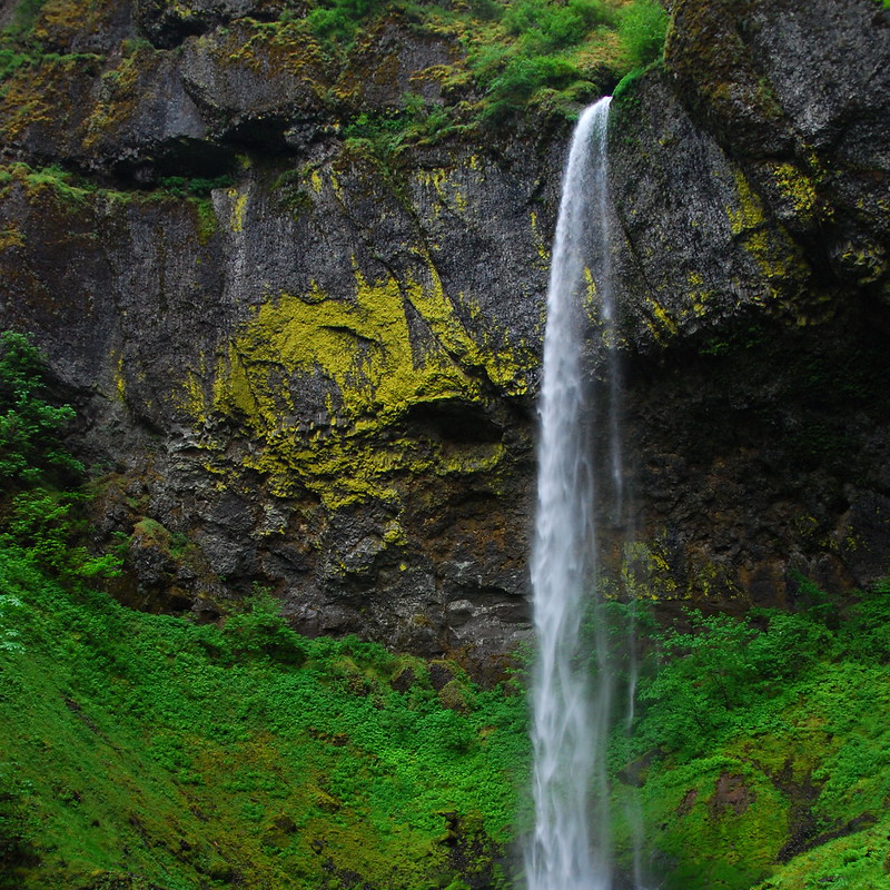
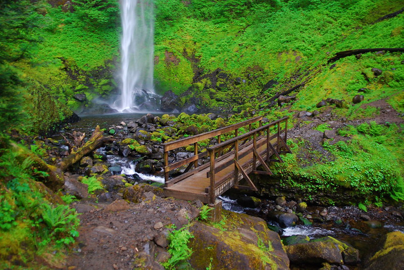
I’ve never seen Elowah Falls before, and I’m stunned when I reach it. It takes two pictures to capture the whole thing:
14.
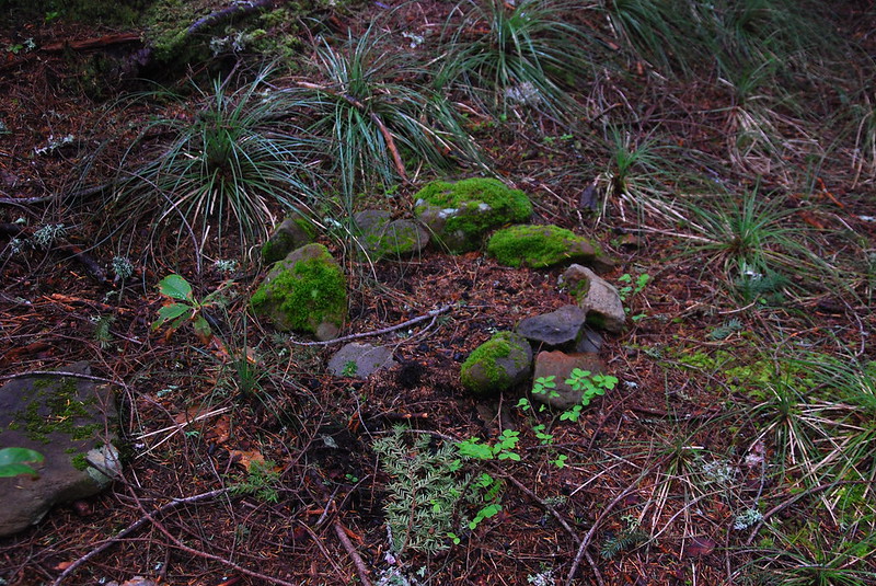
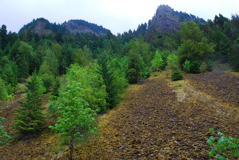
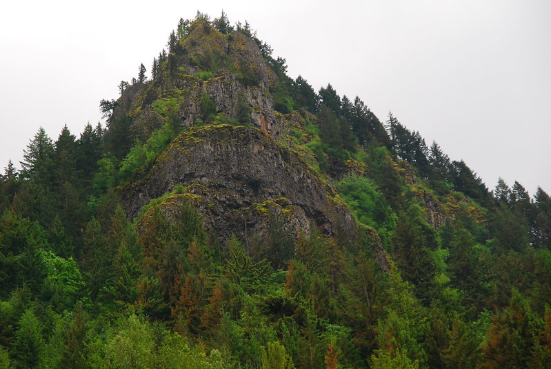
A mile or two later, where the 400 and Old Highway trails merge at the base of Wauneka Point, I take a second lunch break, sitting on the strange, Stonehenge-like arrangements someone’s made on the sides of the path, staring up. I was up there! And I will be again.
I sit on my small Stonehenge for a while, drinking a beer and eating a bagel and cream cheese. I’m listening to an interview that Oliver Sacks just did with Radiolab – very possibly the last interview that he’ll ever do. He’s being himself. He doesn’t seem sad about death, just annoyed by it. And, above all, he’s curious about it. Curious about what’s happening to his body. He explains it all as though he’s his own patient. This – this distance – for some reason makes me tear up. I sit there a while longer. I hope I’m that with it when I’m where he is.
15.
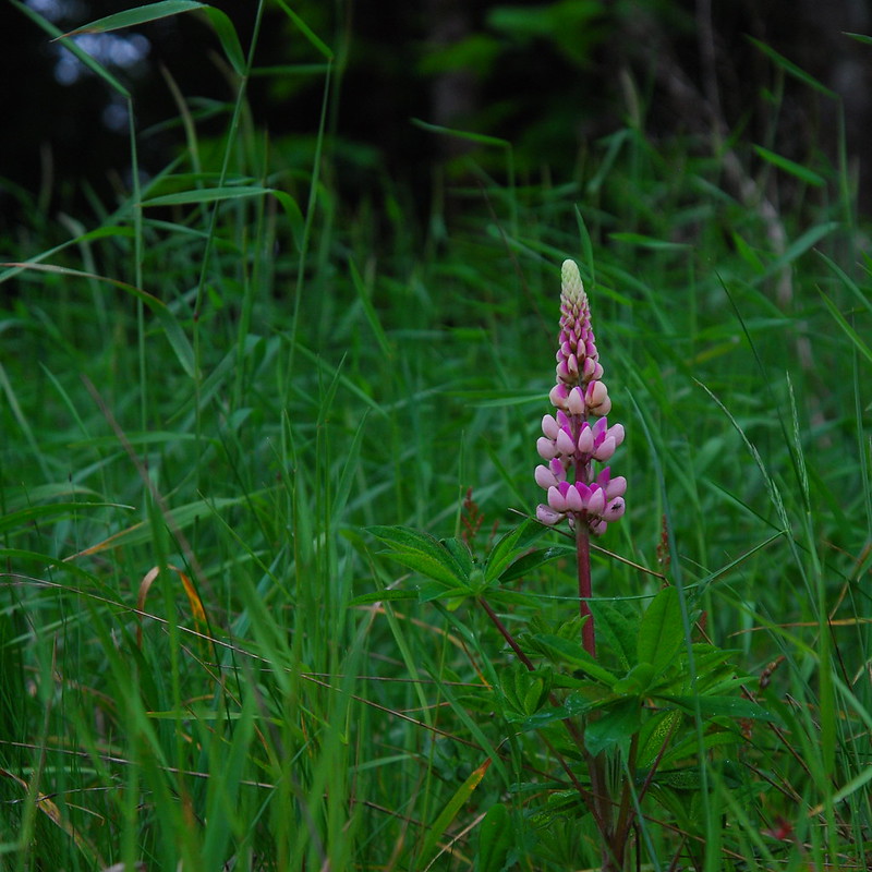
I amble back on a combination of the 400 and Old Highway, trying to take the most efficient route. On one of the sections, where the trail’s basically a glorified shoulder off I84, there are the most magnificent flowers. Lupine? It looks like lupine, but it’s so full. And pink. I’ll have to ask Krista about it when I get home. I hope she’ll tell me a name for it from when she was a kid.

As a small child our family lived at Moffett Creek Oregon Highway Camp, just West of the Hwy 30 bridge. We moved there from Cascade Locks in July 1951, and then moved on to the Bonneville Dam Reservation in about June 1954. Our homesite and buildings have long disappeared under the new Interstate bitumen, unfortunately. I returned in 2017 to honour our parents who are buried at the Cascade Locks Cemetery, but was denied access because of the huge Eagle Creek Fire which had closed the Columbia Gorge.
This posting is an excellent description of the Tanner – Moffett Creek area, as I knew it. Thanks Robin for your excellent pictures and commentary, they brought back some great memories.
All the best,
Warren Munson