June 25 – 27, 2016
A couple weeks ago, my dad and I glommed onto my buddy’s permit for the Core Enchantments, with the idea at first being just to do an out and back along Snow Creek to the Upper Core, with a couple days of fooling around in the middle. But once we got up there, we decided it’d be just as easy to thru-hike the thing, exiting west down Aasgard Pass, then hitching back to our car at Snow Creek. I’m really glad we did.

Saturday
1.
We spend Friday night in Leavenworth at some charmingly ramshackle hotel, take it easy in Saturday morning, and don’t meet the rest of our group at Snow Creek until around 9:30. The place is packed. Cars parked half a mile down the road in either direction. We find a probably kinda legal-ish spot, do a little last minute whining about pack weights, and start up the dusty, burned out trail.
2.
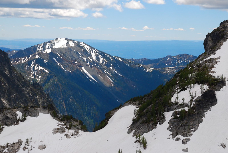
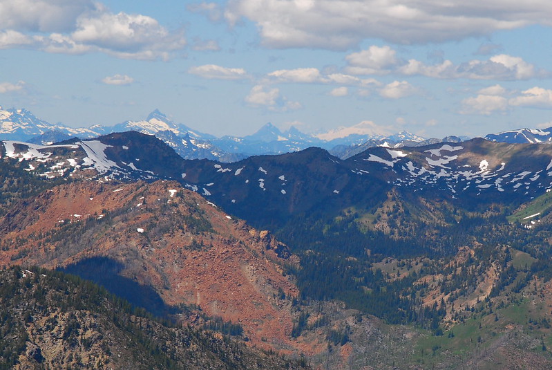
The first couple miles, to the Snow Creek Wall, are sort of rough. But eventually the trail levels out and enters a lightly wooded plateau, closely paralleling Snow Creek.
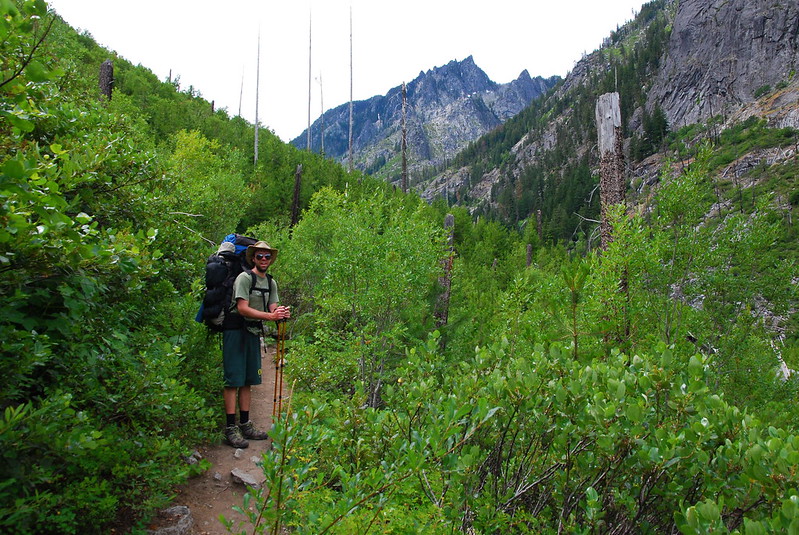
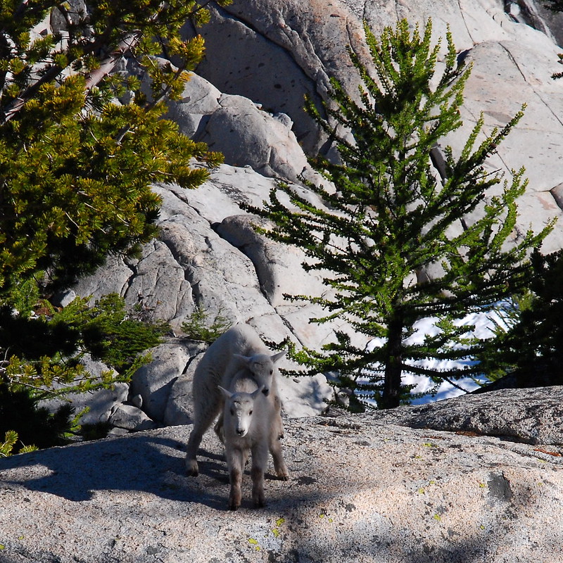
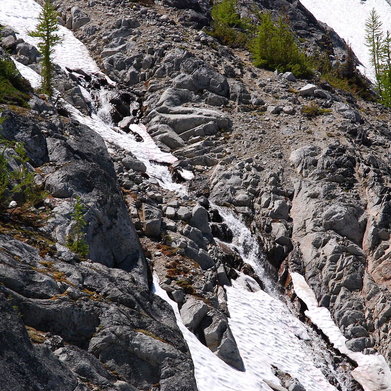
After a gentle mile, the trail steepens again and switches back up a washed out side of Snow Creek Canyon. There are a couple spots where we have to look for cairns to mark the way, but it’s never hard to find. And there are a half dozen goats running along the trail, helping to guide.
3.
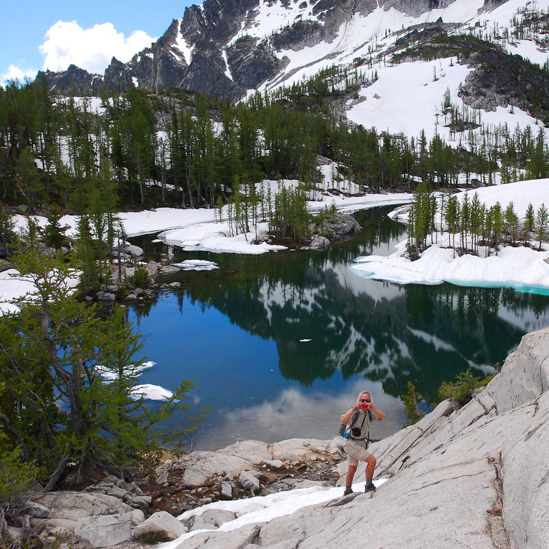
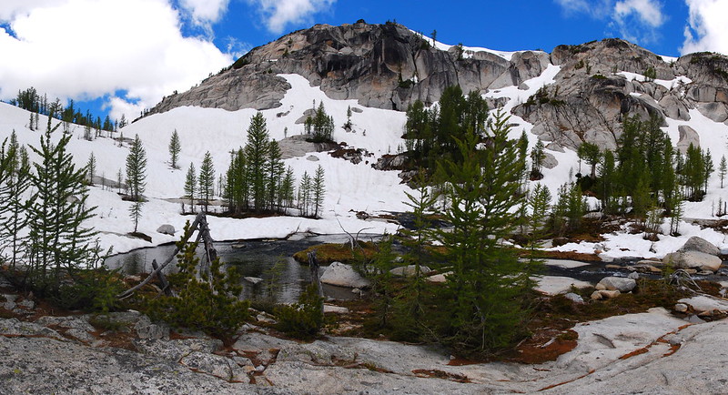
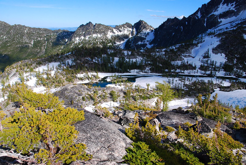
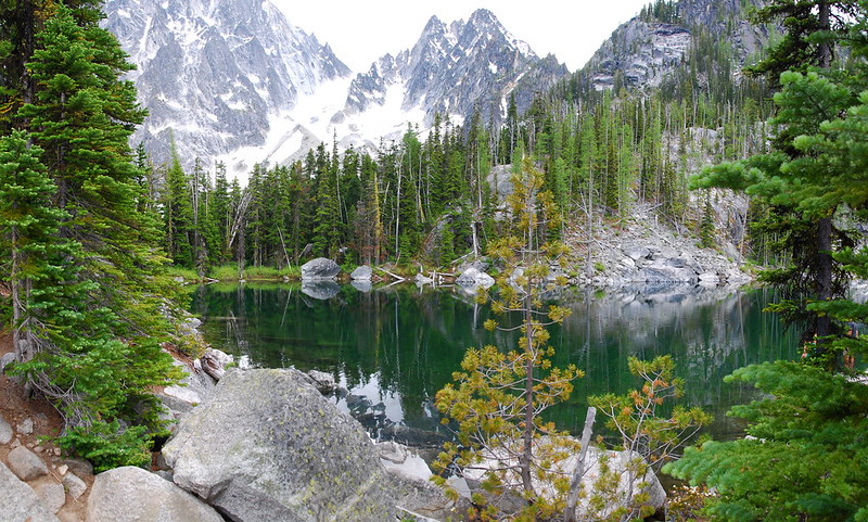
At around four miles, the trail crosses Snow Creek to enter a beautiful sub-alpine parkland on the northeast corner of Nada Lake. We take our first break, and I take a hundred pictures.
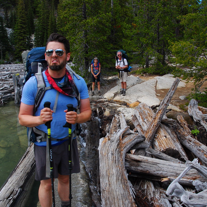
Our Intrepid Guides:
4.
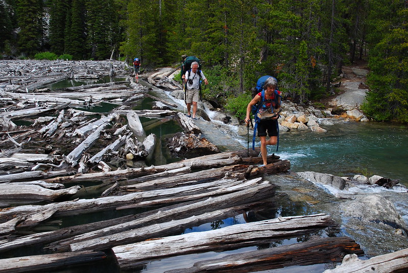
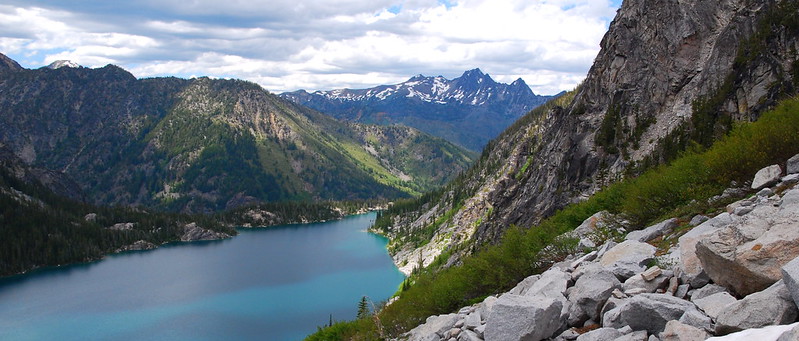
From Nada Lake, the trail switches back for a few hundred feet up an open talus slope, then descends briefly to the Snow Lakes. The two lakes, Upper and Lower, are separated by an old dam that doubles as the trail. In times of heavy melt, like right now, water runs over the top. It isn’t exactly sketchy, but it’s definitely a wet crossing. My buddy’s not stoked.
5.
The southern shore of Upper Snow Lake is crazy crowded. There are at least a dozen very nice campsites, and every one is filled to the brim with campers and hammocks and, improbably, cases of beer. I kinda get why limited access permits are necessary up here. I can only imagine what it was like before they instituted the system.

6.
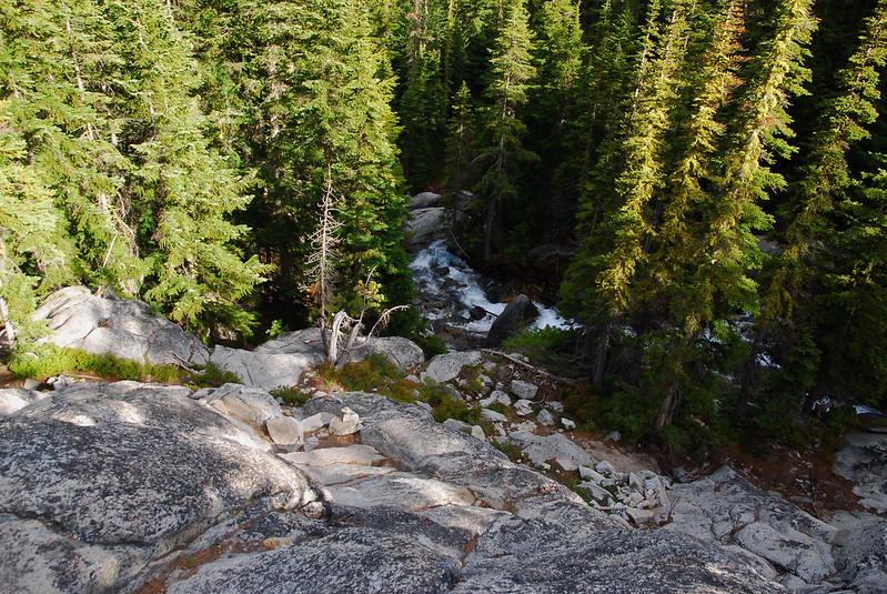
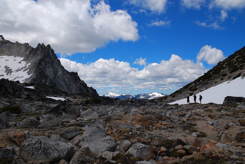
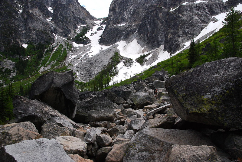
At the far west end of Upper Snow Lake, the trail again crosses Snow Creek, then begins a steep-ish ascent toward the Core, at first through the woods, then along beautiful granite slabs.
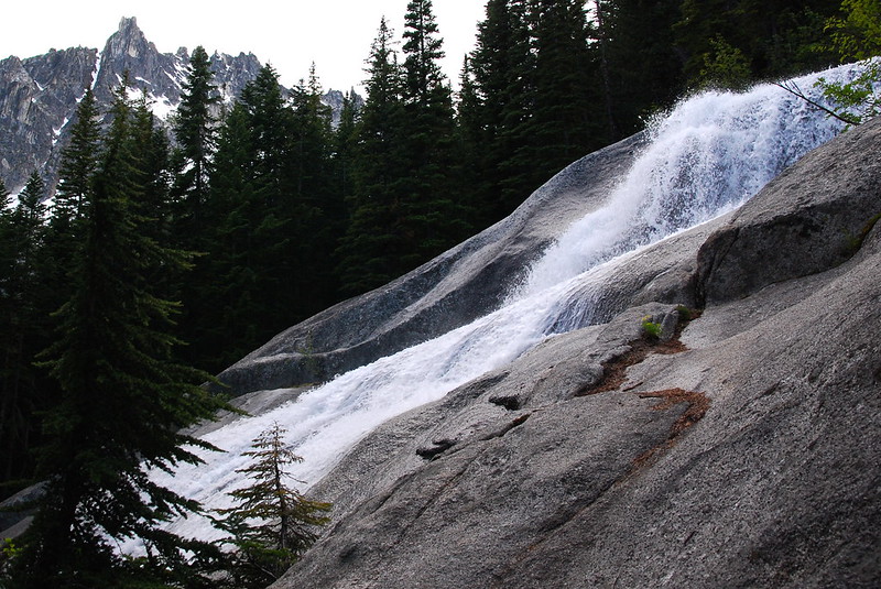
On the steeper sections, there are rebar steps cemented into the granite, but the going’s never actually that tough. And it’s just so pretty, it’s sort of easy to forget that I’m walking at all. I accidentally get way ahead of the group.

7.
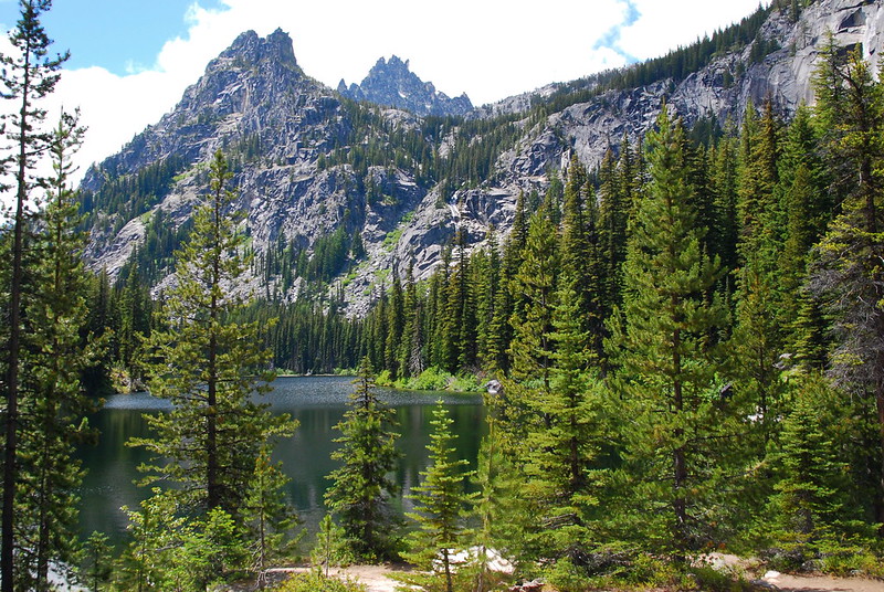
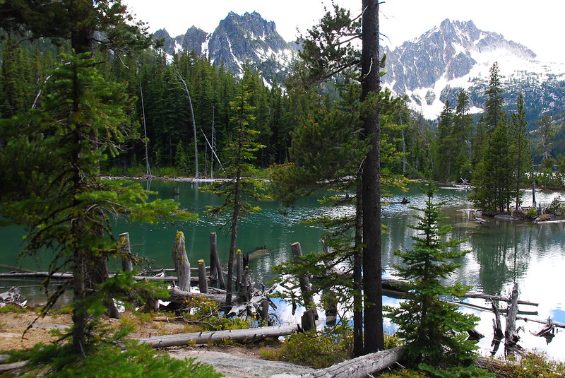
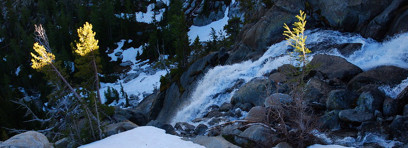
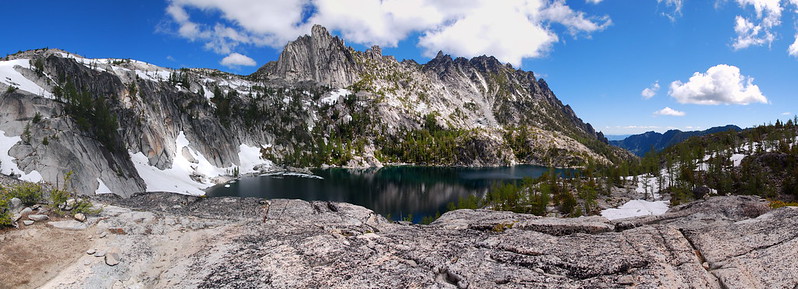
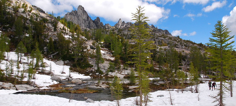
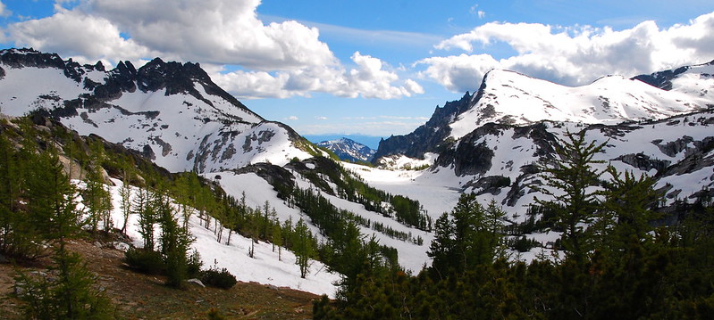
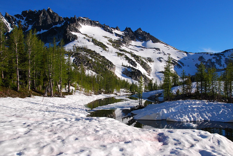
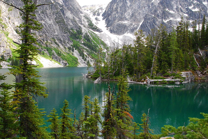
If you’re approaching from Snow Creek, Lake Viviane sort of marks the beginning of the Core. For us, it also marks the beginning of the snow. Up until this point, there’d been occasional snowfields, but nothing major. After it, the snow is basically constant. Funny how that happens.
A couple people in our group are getting pretty wiped. The hike in isn’t terrible, all things considered – maybe 10 miles with a bit over 5500′ elevation gain – but it’s a couple people’s first trip backpacking. Like, ever. I can’t imagine doing this as a first trip. Hell, I can’t imagine doing this as a fifth trip. So we just walk another half mile, over to Leprechaun Lake, set up for the night, and eat a late dinner.
Sunday
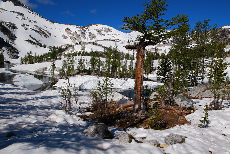
8.
This always happens to me: I set up in the evening, focused on dinner and getting settled, and don’t realize just how incredible of a place I’m in until the next morning. Here’s my tent, near Leprechaun Lake:
9.
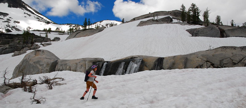
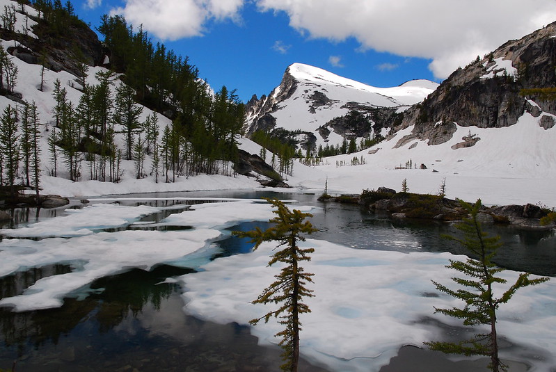
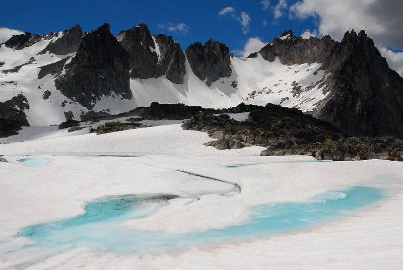
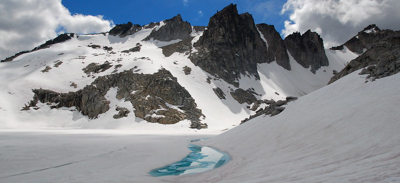
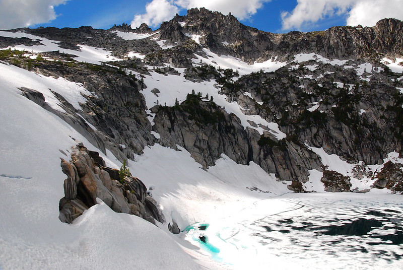
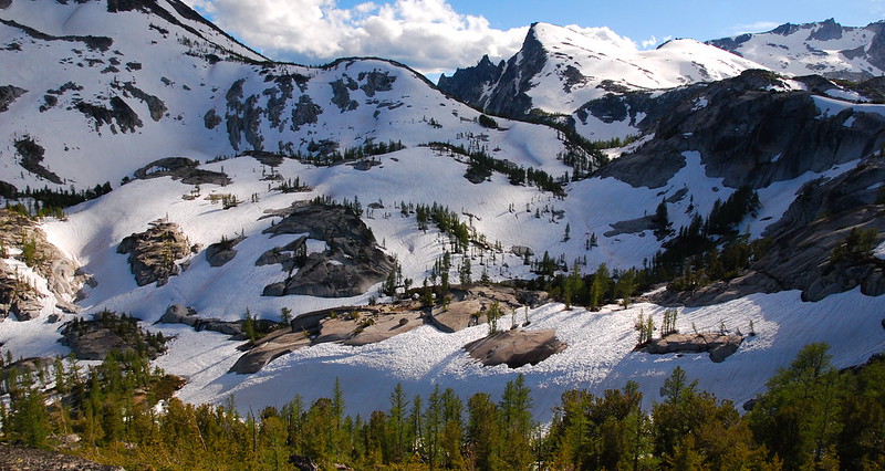
We have a leisurely morning, then set out on a meandering dayhike up through the snow into the Upper Core. I know prime time for the Enchantments is late September, when the larches are out and the lakes are all melted, but there’s something sort of magic about the place under snow, too.
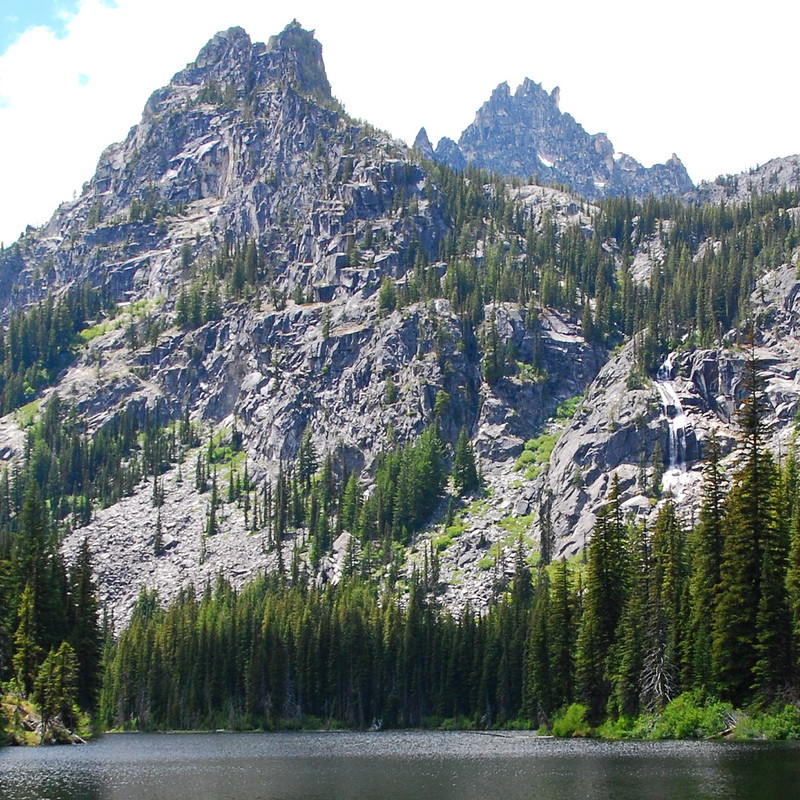
Looking up from Leprechaun Lake:

My dad:
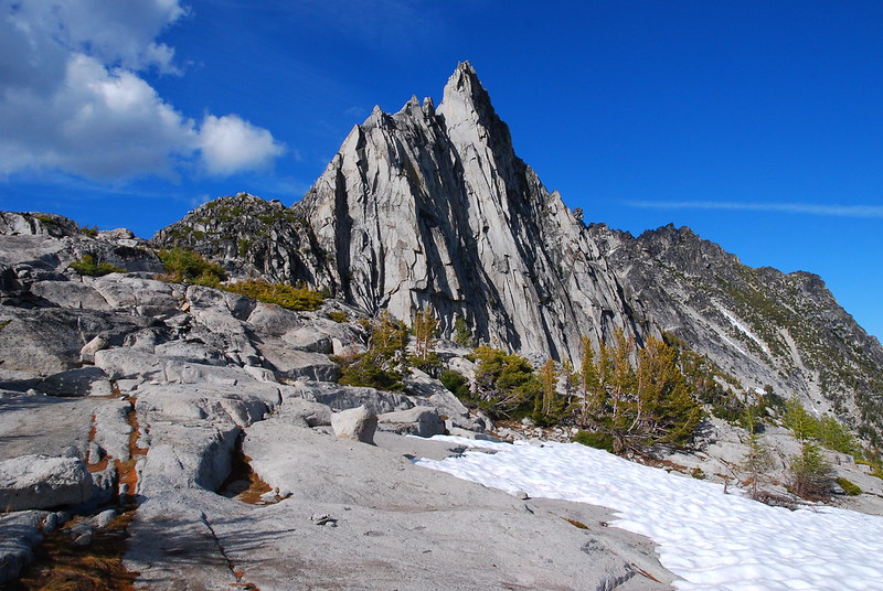
Prusik Peak over Lake Viviane:
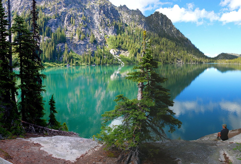
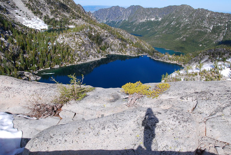
Talisman Lake:
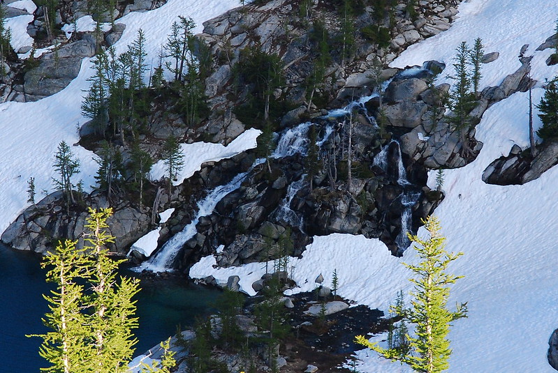
Notice the waterfall on the lower right:

Looking down the Crystal Creek (I think?) drainage.
Approaching Aasgard:
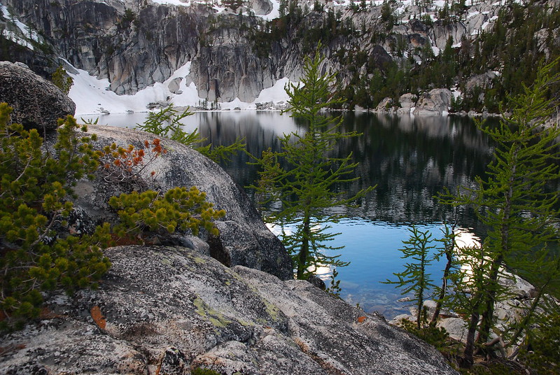
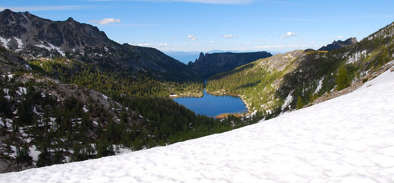
Lake Freya:
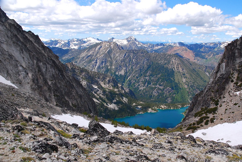
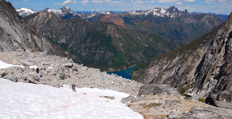
10.
We have lunch on top of Aasgard – our turnaround point for the day – and contemplate the trail down. It looks doable! We’d sort of written off going up or down Aasgard on the strength of characteristically overblown trip reports (“We only made it because we’re superhuman!”) and the really sad story of a guy who died glissading down a couple weeks ago. But looking down now, the thing looks doable. Hmm….
11.
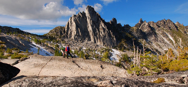
We turn around for the day, though, and make our meandering way back toward camp. Here’s the Dragontail Group over Bryhilde Lake:
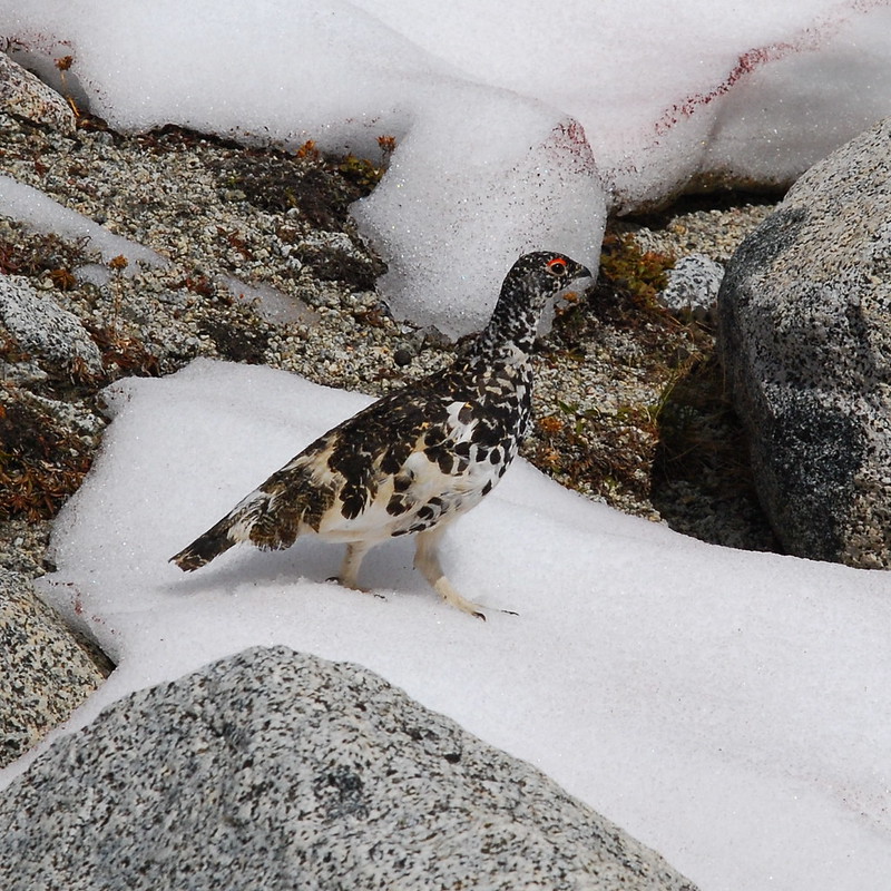
And a Ptarmigan!
And a Talisman!
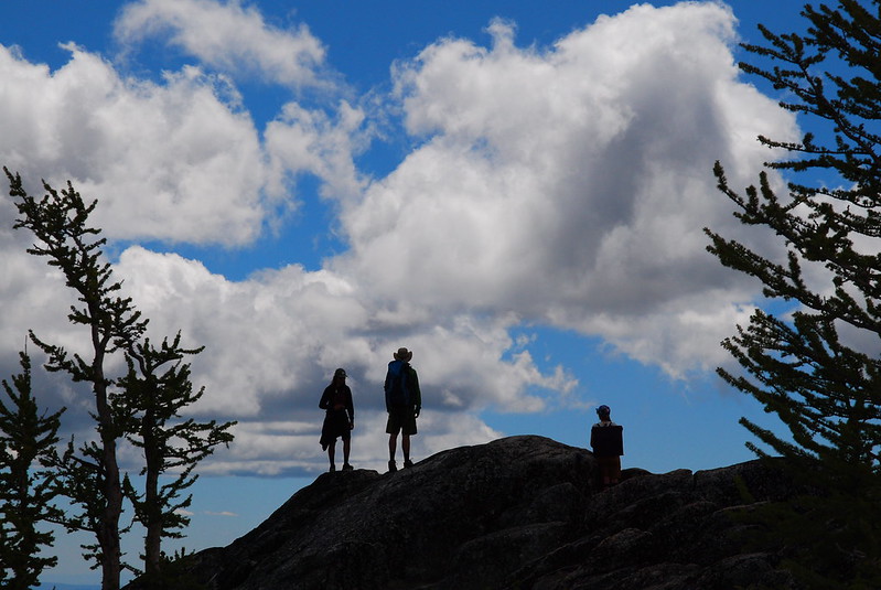
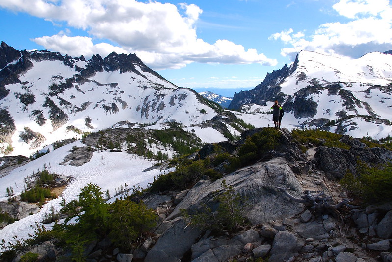
12.
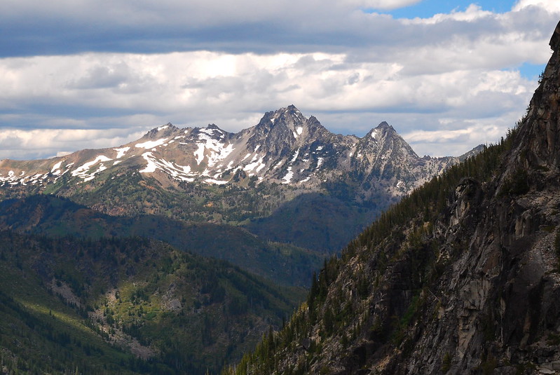
We take a slight detour on the way back, and ramble up to Prusik Pass, a low point on the ridge that separates the Snow and Rat Creek drainages. The views from the ridge are just fantastic:
Looking west to Rainier and… Snoqualmie?

The view north toward Shield Lake.
13.
From the pass, we take an easy cross country route back toward camp, southeast on a prominent ridge. It’s probably my favorite part of the trip.
Leprechaun Lake, and the view from my tent:
14.
Over dinner, we talk about the plan for heading out, and someone suggests the possibility of leaving over Aasgard. That means re-covering a lot of the ground we’ve just done on our dayhike, but I’d be happy to re-cover the ground up here a thousand times over, and we all quickly agree. Then we all quickly drink too much.
Monday
15.
I wake up Monday feeling a little worse for wear, but drink a double portion of coffee, and am feeling bright and bushy tailed by the time we head out, back up into the Upper Core.
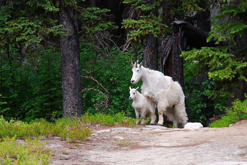
As we’re leaving, a couple local kids stop by to wish me off.
16.
I don’t really take any pictures on the way out until we start down Aasgard.
But man: Aasgard.
I’d forgotten just how ridiculously steep that pass is – on the way down, you lose around 2200′ in just under a mile. Apart from some unavoidable sidehilling on a steep snow field, there’s nothing really sketchy, but the thing’s just… tedious.
17.
By the time we make it all the way down – to the bottom and the boulder field on the southeast corner of Colchuck Lake – we’re all pretty beat. Notice my dad hiding in the center right:
18.
Like Upper Snow, Colchuck Lake is surrounded by people. There are dozens of campsites on the south and western sides, and nearly every one is full of a large group.
We stop near what I’m calling Little Colchuck – a detached pond on the far west side – to filter some water and have a little snack, but as soon as we do, a hundred mosquitoes come out, seemingly having heard about our snack plans and planning on a snack of their own.
19.
After the Colchuck Bug Extravaganza, I just sort of hightail it down to the trailhead. It’s four or so pretty miles, but the beauty is somewhat dimmed by the bugs. I guess I could stop to put on spray, but the Velocity Method of Pest Control is working just fine, and I arrive at the (bugless!) trailhead an hour and some change later.
20.
I’d been worrying about getting a ride so late on a weeknight – it’s around seven by the time everyone gets to the trailhead – but almost immediately a kindly older guy from the area, Les, offers to ferry us all down back to our car. On the way, he regales us with stories about hiking in the Enchantments, mountaineering, adventure skiing, and other adrenaline soaked outings too exhausting to even recount. I get the impression he’s a little starved for conversation.
Once back at the car, it’s just a quick hop back to Leavenworth, then just a quick transaction back to the same ramshackle hotel. As we eat dinner – surprisingly great takeout pizza from some place just off the main drag – I think about coming back in late September to see the larches. I bet it would be a blast to do the whole thing in a day.

Absolutely stunning! I’m wondering what camera you use? I’m struggling with how to balance weight vs quality. Would appreciate knowing what you take.
Oh wow, thanks so much! I use a Nikon D80 with a Sigma 17-70mm F2.8-4 DC Macro lens. It’s stupidly heavy – maybe three pounds all in – but it really does take nice pictures. I’m leaving for a long section of the PCT next week, and am taking something a bit lighter – a Sony RX100ii – but it’s definitely a compromise.
Incredible photos, beautiful hike