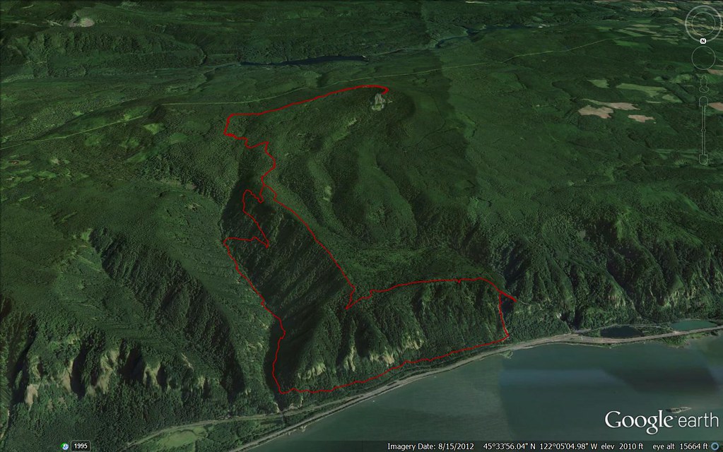
I had the day off yesterday, and the weather was nicer than it’s been it weeks, so I headed out on another one of those hikes that maybe made more sense on the map than in person. One of my favorite things about hiking in the gorge is that, between Trail 400 along the Columbia and the proliferation of east-west trails higher up (the should-be official Hatfield Trail), it’s relatively easy to make long loops. For this one, I planned to park at the Oneonta Trailhead, take 400 west to around Multnomah Falls, head up toward Larch Mountain, cut east on the Bell Creek Trail, then head down via Horsetail Creek and the Oneonta Trail.
This ended up being a little ambitious, because I didn’t get started until a little late and the Bell Creek Trail is, as the Forest Service warns, not in great condition. (In fact, in winter it appears to disappear entirely.) So instead of cutting over on Bell Creek, I cut down on Franklin Ridge. The route ended up being around 23 miles, with (conservatively) around 5000 feet elevation gain. Here’s a map:
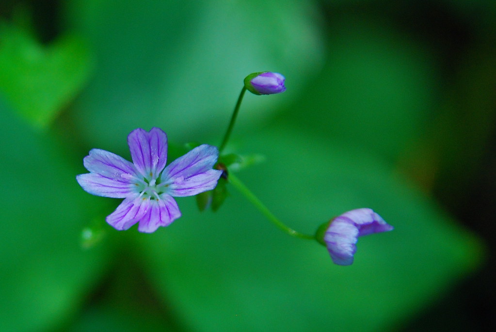
I got one of the last parking spaces at the Oneonta Trailhead, which was presumably crowded with people headed to Triple Falls, and went in the opposite direction, west on Trail 400 toward Multnomah Falls. There’s all sorts of gorgeous tiny flowers in bloom along the trail right now, but it was super windy and most of my photographs turned out blurry.

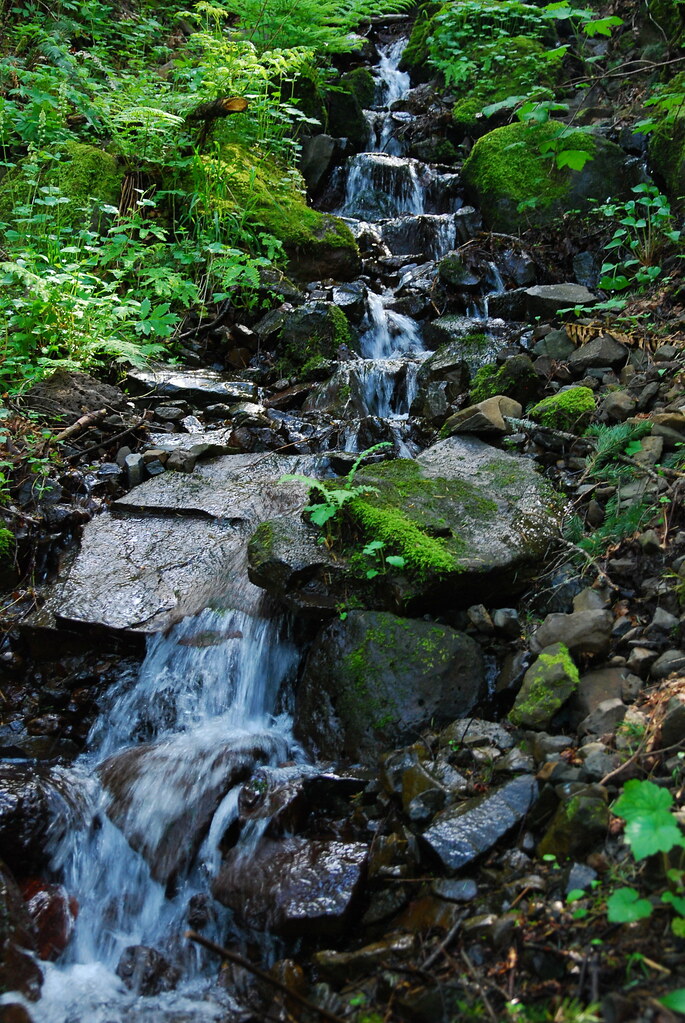
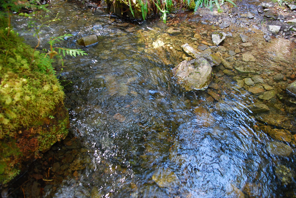
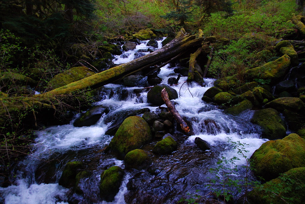
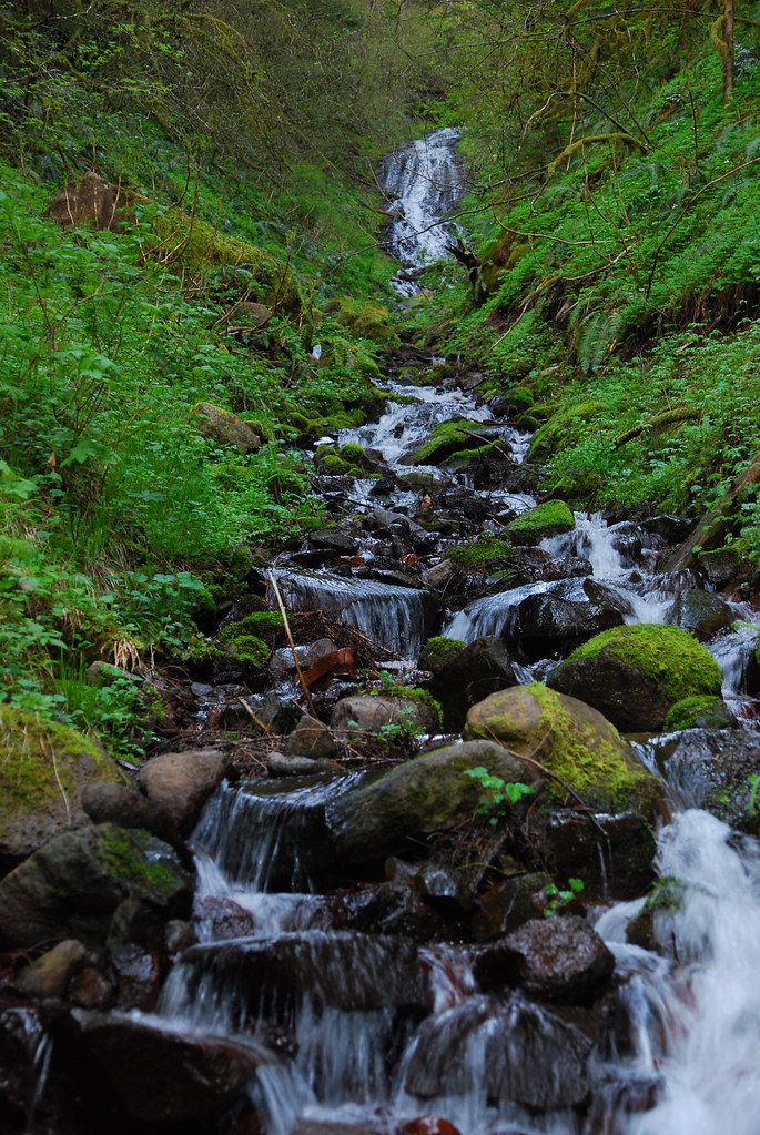
There are also a couple (unnamed?) streams along the way, which were full with melt from the snow the gorge must have seen in the last couple weeks.
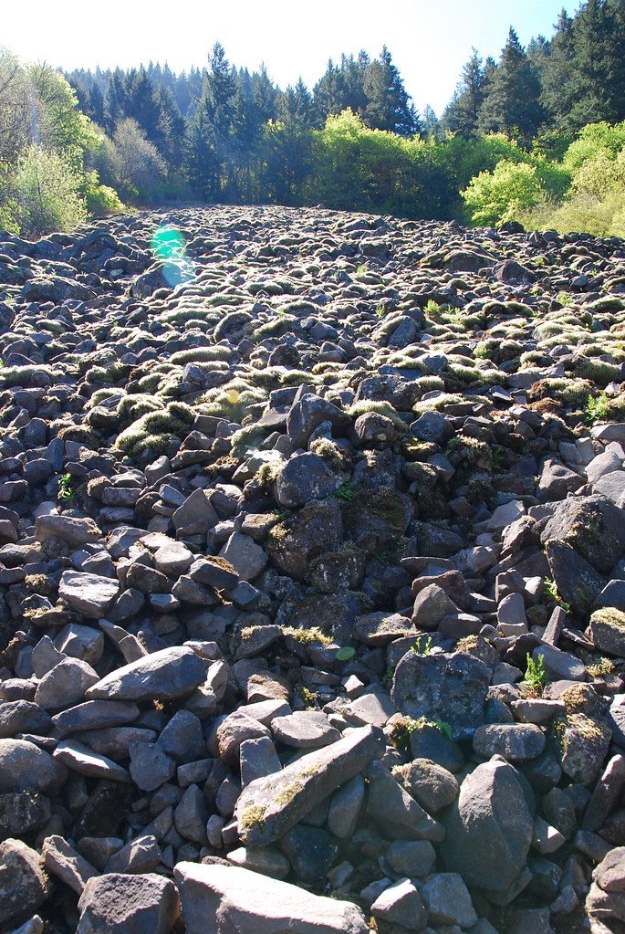
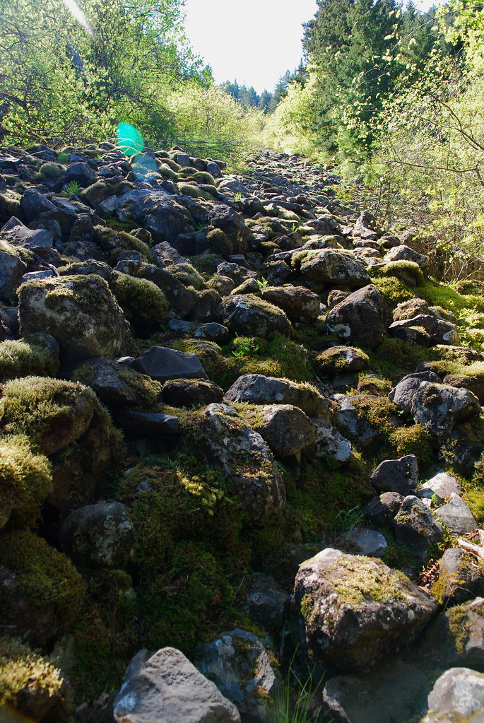
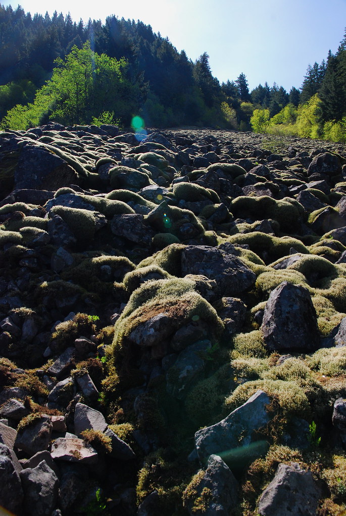
From here, there are two possible ways up. The first, and by far most popular, is the Larch Mountain Trail, which 400 joins just above the (still closed but soon to be reopened) Benson Bridge. The second, which I’d never done, is just east of the Larch junction, at the appropriately named Elevator Shaft, a 1000 foot talus slope that more or less goes straight up.
Straight. Up.
The Elevator Shaft trail’s actually in pretty good condition, all things considered, but it is steep. There are something like sixty switchbacks. After going up a couple hundred feet, you pass through a nice wooded section to the second, longer part of the climb.
But wait, there’s more!
Even though I was going hand over hand for a good portion of it, the trail remained remarkably comfortable, and I never really felt unsafe. Sort of like Ruckel Ridge, the climb is so fun you almost forget to be tired.

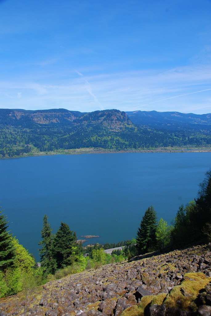
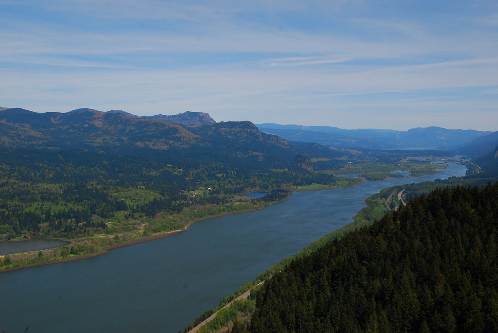
I was pretty happy to get to the top, though. Here’s the view looking back down to the Columbia:

And across the river at Archer Mountain.
From the top, the trail heads vaguely southwest to join a ridge that leads (again: steeply) up a few hundred more feet to the Multnomah Basin.
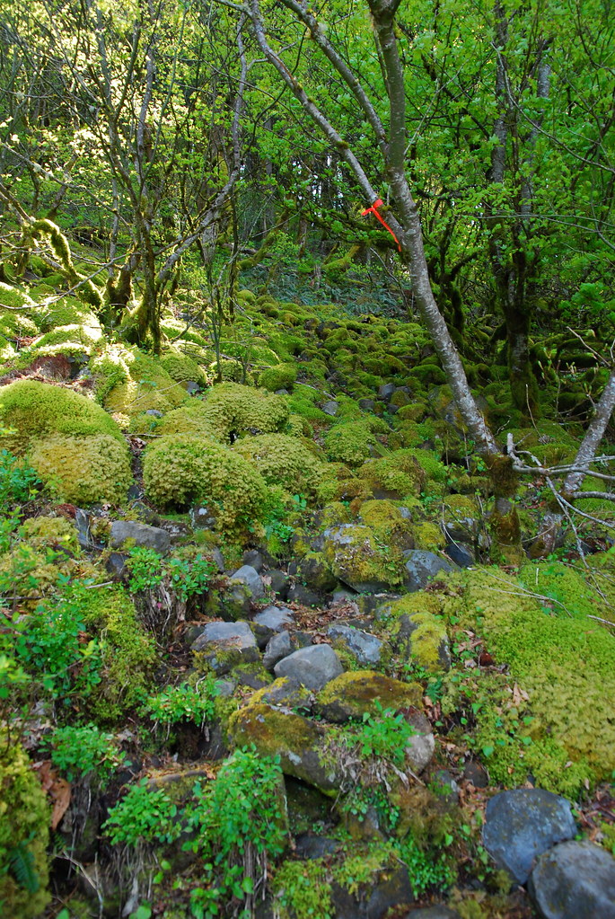
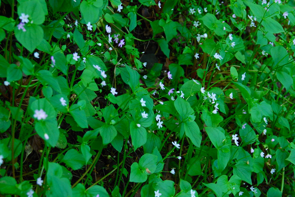
I hadn’t been up to the Basin for a while, and it’s definitely become spring up there. What seemed like dead ground cover in December is now a lush green carpet.
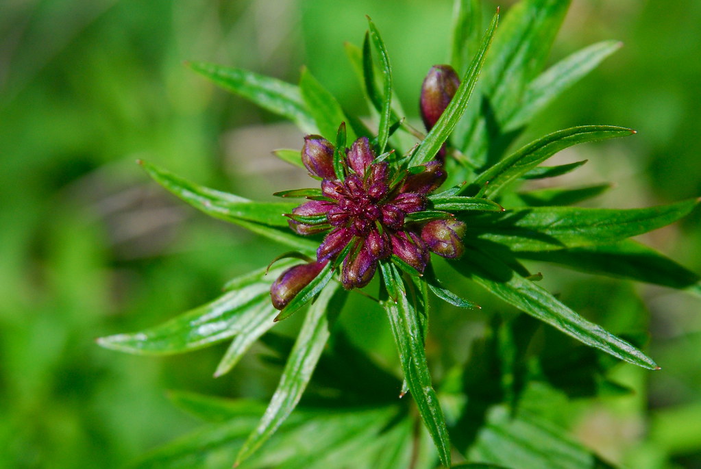
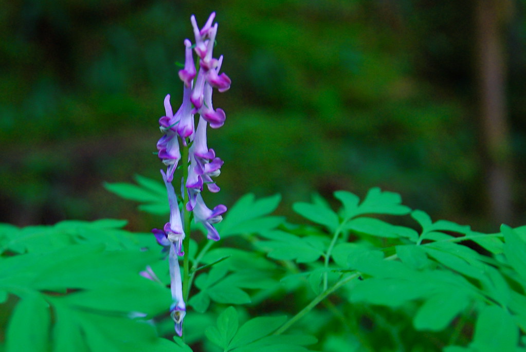
The trilliums are about done, but other stuff’s definitely come to take their place. No idea what this is (?).
After traversing across the northern edge of the Basin for a mile or so, I quickly hit Nesika Lodge. The lodge was originally built in 1923 by the Trails Club of Oregon, which still runs it. It’s nice to know it’s there, especially if you get lost.
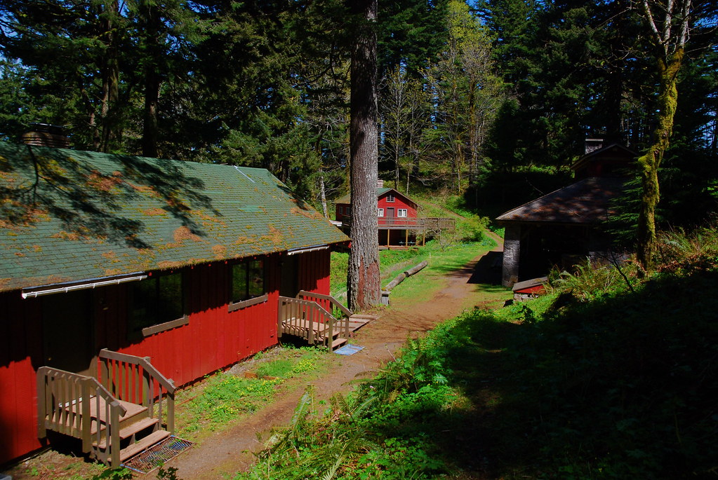
Their view is fantastic.
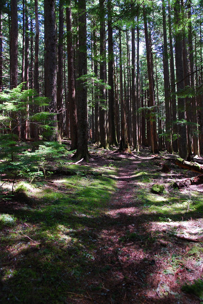
From here, it was up a short connector to the Franklin Ridge Trail, then on the Oneonta Trail to Larch Mountain. The walk felt longer than it was, probably because I waited way too long to eat lunch.
Ancient sign.

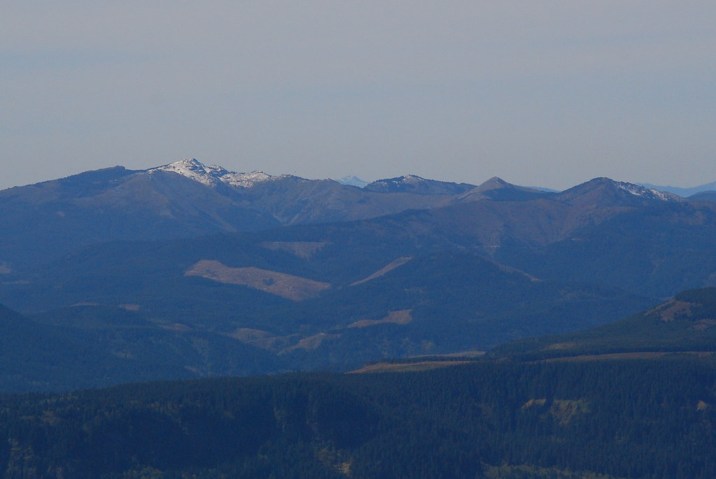
Franklin Ridge, doing a very convincing Benson Plateau impression.
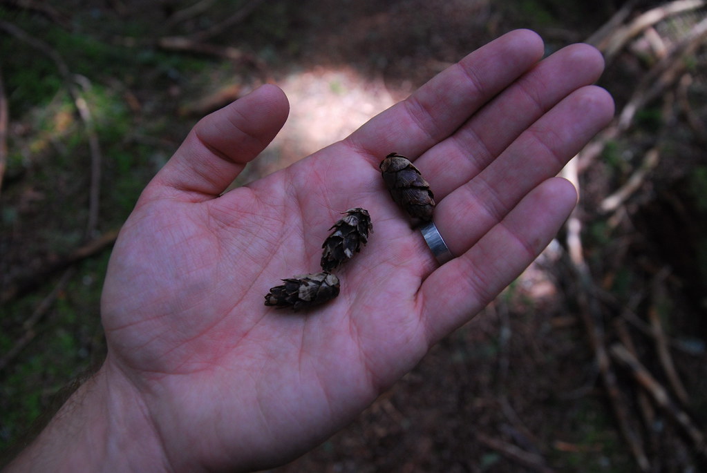
Baby pinecones!
Around 3200 feet, a whole bunch of new stuff was leafing out. As usual, I can’t identify any of it.
This is apparently the headwaters of Oneonta Creek. I hopped across.
i!
The Oneonta Trail flirts with the boundary of the Bull Run limited entry area, and, if my map is right, actually jumps in and out quite a bit. Since a sort of fishy court case in 1976, it’s been illegal to enter the Bull Run watershed on anything but official business. But exceptions are made: this trail jumps in and out, which I’m sure others do too, and the PCT runs straight through the watershed. (The city of Portland offers occasional Bull Run tours, which I’m seriously considering, given how completely gorgeous the whole thing looks. But being with that big of a group in what should be wilderness also sounds kinda awful.)
Anyway, here’s the boundary. I have “friends” who have “told me” that they “accidentally wandered” a ways in, just to see if they were missing something great just beyond the line. They weren’t.
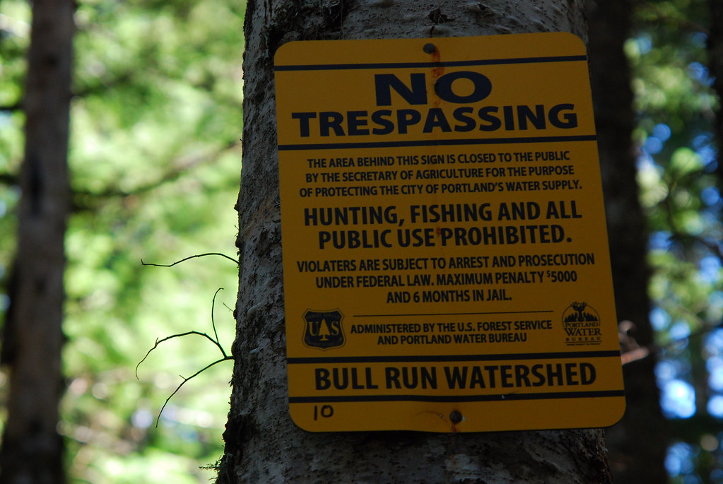
Okay, one more thing about Bull Run, and actually about the name “Bull Run,” before I move on. Before the construction of Barlow Road in 1846, settlers passing west toward Portland had either to hitch a ride on the Columbia, which still had pretty bad rapids, or take The Oregon Trail cattle path, which went over Lolo Pass, an old Native American trading route. (In fact, the pass used to be called “Old Indian Trail.”) Between 1838, when early traveler Daniel Lee rediscovered Lolo Pass, and 1846, passing cattle would often escape into the hills – bulls would literally run – between Hood and the Gorge. For a time there was apparently a sizable feral cattle population there.
Okay, back to the hike.
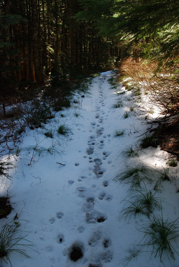
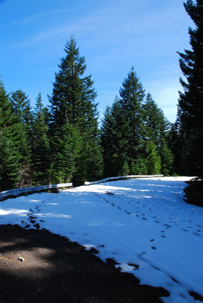
Snow started around 3500 feet, and was pretty constant until the summit of Larch Mountain, but it was never too bad. I’m guessing it will all be gone before the end of the week.
Eventually the Oneonta Trail runs into Larch Mountain Road, which is still closed for winter. On my way back, there was a very dejected-looking bicyclist sitting on that railing, sad to have had to stop before the summit. It’s only a quarter mile more, though, and I tried to encourage him – in the creepily cheery voice I get when I’m out in the woods – to just walk the rest of the way. I’m reasonably sure he thought I was a psycho killer who was trying to lure him into a trap.
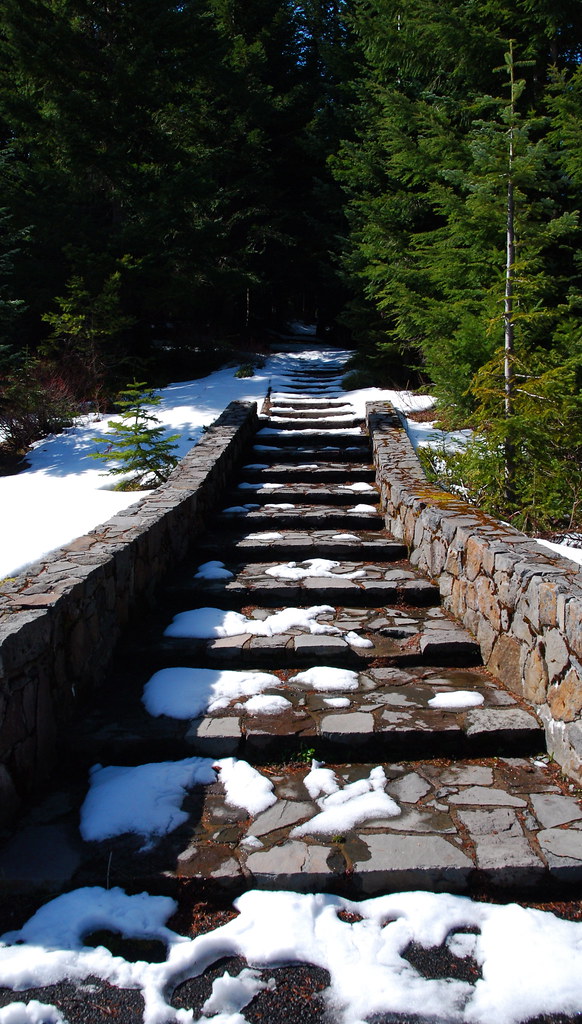
Stairs to the summit. I’ve never been here in the summer, but I imagine them being lousy with crying little kids whose hands are sticky with ice cream.
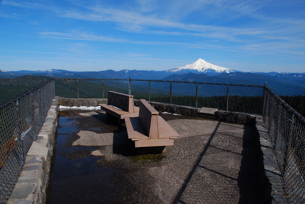
The empty summit at Sherrard Point. I’m not good at writing about this sort of thing – I’m not totally sure it’s the type of thing one really can write about – but the feeling there, alone among the mountains, was one of those things that can get you through weeks of everyday nonsense. I love being able to see the hills and the valleys and the rolling clouds and and and… and the few bits of land we haven’t yet totally destroyed.
I took a panorama from the top using Huggin, which is too big to adequately display here, but you can get a full resolution version here. I also made another one with some of the more prominent peaks labeled (here), using information I got from Peak Finder.
A few close-ups:
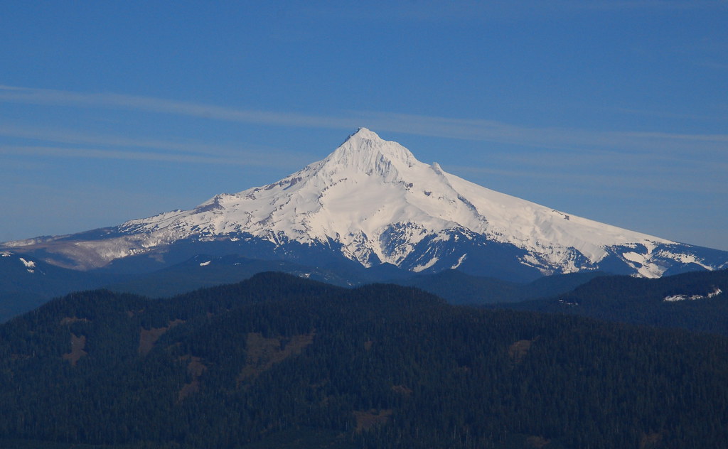
Hood!
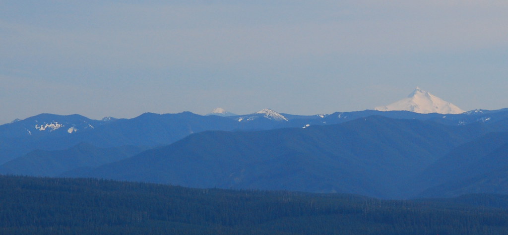
Jefferson! (Does this much zoom really deserve an exclamation mark?)
Silver Star!
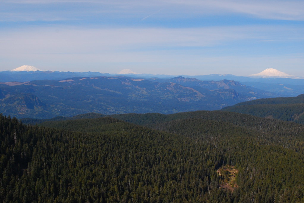
Going clockwise from the slight lower left: Hamilton, Table, Goat Rocks (?), and Adams.

The Washington Cascades. From left to right: St. Helens, Rainier, and Adams.
The Columbia, with Portland in the distance.

While I was dancing around, taking way too many pictures and too quickly eating some lunch, a bald eagle swooped overhead. A bald eagle! It’s as though someone was trying to make sure I had a wonderful day. (The picture’s awful, because he was far away and my hand was full of tortilla, sausage, cheese, and hot sauce.)

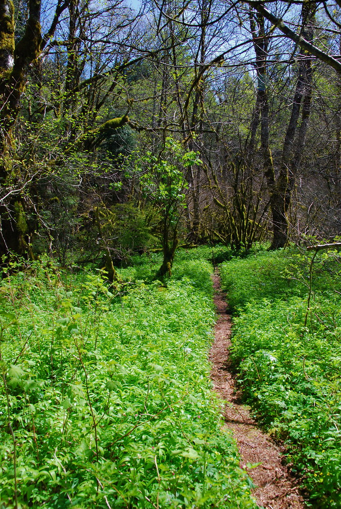
I hung out up there feeling lucky for a while, until I realized I was way passed my turnaround time (I’d told myself I was going to leave by 3:30, and it was almost 5:30), then jogged back down the Oneonta Trail to the Franklin Ridge junction, took a right, and started down the steep-ish descent from Franklin Ridge to Oneonta Creek. I had headlamps and everything, and I know that trail well enough to get back to the car in failing light even without one, but I at least wanted to get past the first crossing of Oneonta Creek before sunset. I settled down enough to get a few pictures once I heard the faint whisper of water. The Devil’s Club is just starting to leaf out, in the most interesting (and seemingly implausible) way. When we were here a month ago, we were both pretty sure it was all dead.

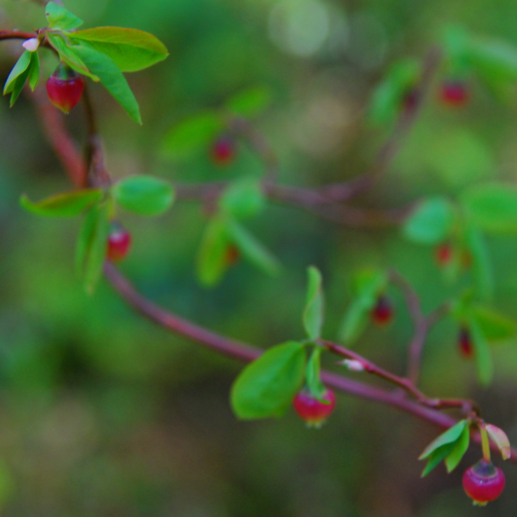
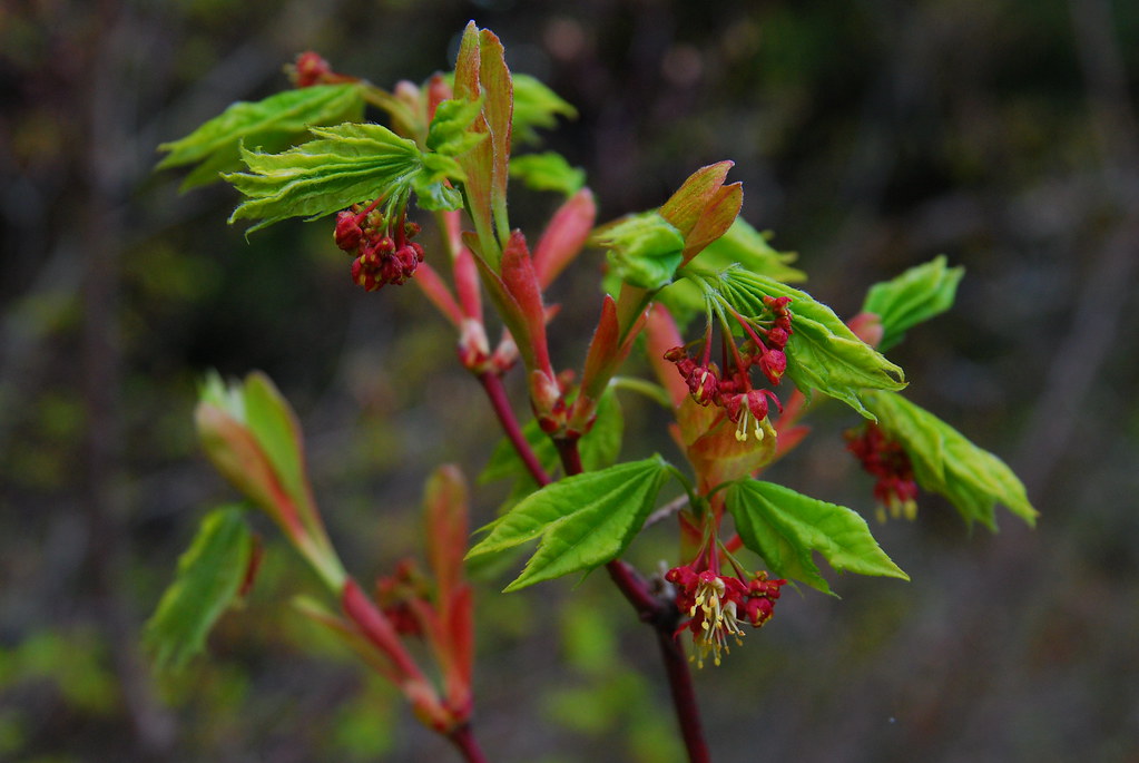
And this! Vine maple blossoms?

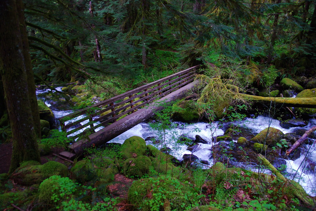
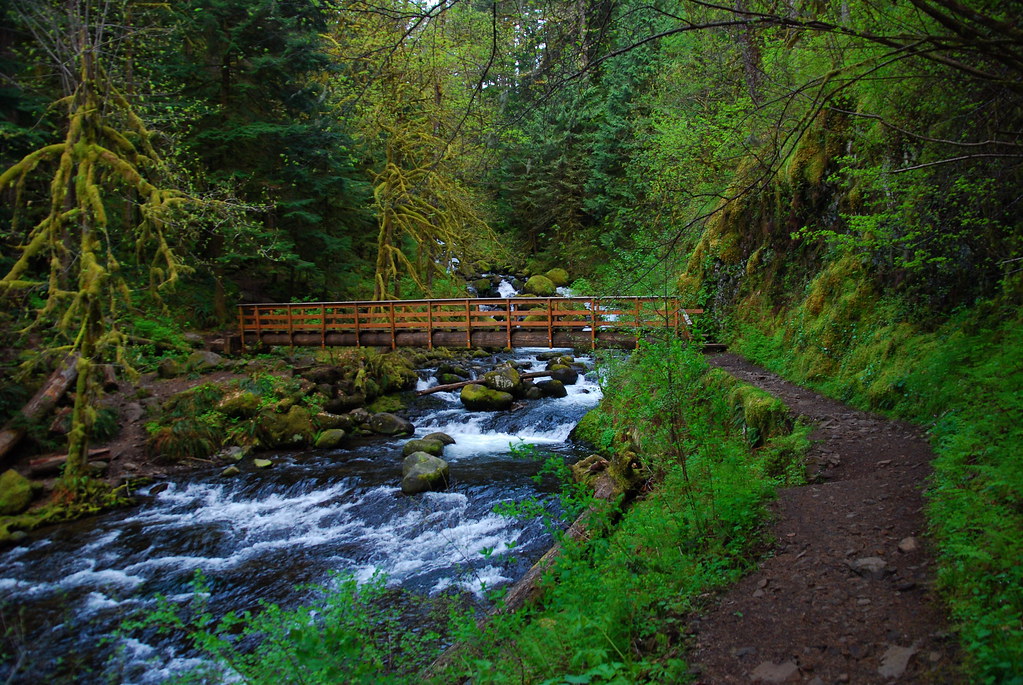
The first crossing! I would be excited to see it anyway, because I just love this sort of bridge, but I was especially happy now to have beaten the darkness.
Looking up.
I walked pretty quickly after this, stopping only a couple times for pictures of meltwater streams and flowers.
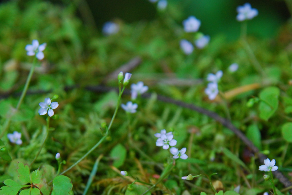
Again, I have no idea what this is.
Second crossing, and still light to go!
The Triple Falls picture you’ve seen a thousand times.

Up until this point, I’d only run into one other person the entire trip – the bicyclist. But I ran into another couple as I was heading back to the car. They both seemed really winded, and were walking up toward the falls in t-shirts with no backpacks, water, or (I’m assuming) headlamps. This is how bad things happen. I sort of think of the gorge as a manicured garden that backs up onto the wilderness, and these people were definitely not dressed for the latter. I offered them some water, which they refused, and thought for a second about offering them a headlamp, but they were understandably in a hurry. As they were walking away, the man lit a cigarette. When I got back to the trailhead, there was only one car there apart from mine, and I crossed my fingers. I’ve checked the news a couple times, and I haven’t heard of any Search and Rescue (or Green Hornet Hottie Squad) stuff, so hopefully they made it back just fine.
Here’s the sunset, about a half mile from the car.

Great photo journal. I felt like I was there!