July 31, 2018
1.
It’s just before five in the morning and I’m standing bleary-eyed in front of the glowing display case at Joe’s Donuts—a delightfully ramshackle bakery halfway between Mt. Hood and Portland. I order extravagantly, then struggle to make small talk with the cashier as she struggles to lift my order.
“I was sort of surprised to see you open.”
The woman, who can’t be more than 16, looks at me dead-eyed. “Donuts don’t sleep.”
2.
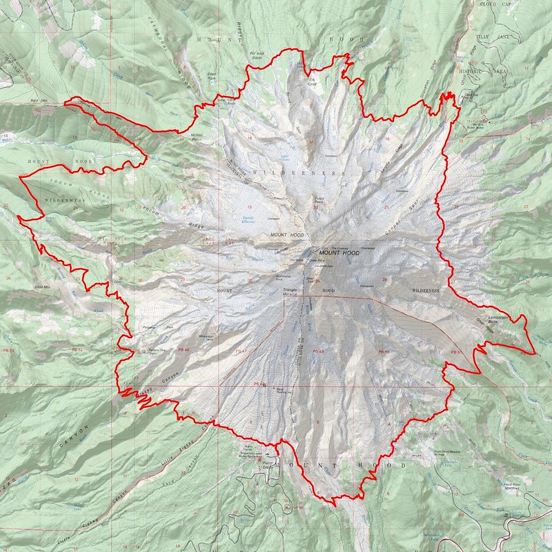
The next forty-five minutes are a blur of sunrise and pastry cream and nerves. My plan is to start at Timberline Lodge and jog / walk / limp around the mountain counterclockwise. It’ll be a long day—something like 40 miles with nearly 10,000’ of elevation gain—but I think I can do it?
I guess what worries me is the commitment. I’ll pass near several well-used trailheads where bailing out should be possible, but there’s no obvious way to bail out on foot. I’ve got stuff to spend the night out there if need be, but… I don’t know. I’m just scared.
3.
I pull into the luxuriously large lot at Timberline Lodge, then set out quickly. I’m usually the king of lollygagging at the trailhead—I’m pretty sure that I’ve seen people complete relatively ambitious, multi-day treks in the time it takes me to put on my shoes—but, this time, I go all at once, like pulling off a Band-Aid.
I think, vaguely, of Ulysses and the sirens.
4.
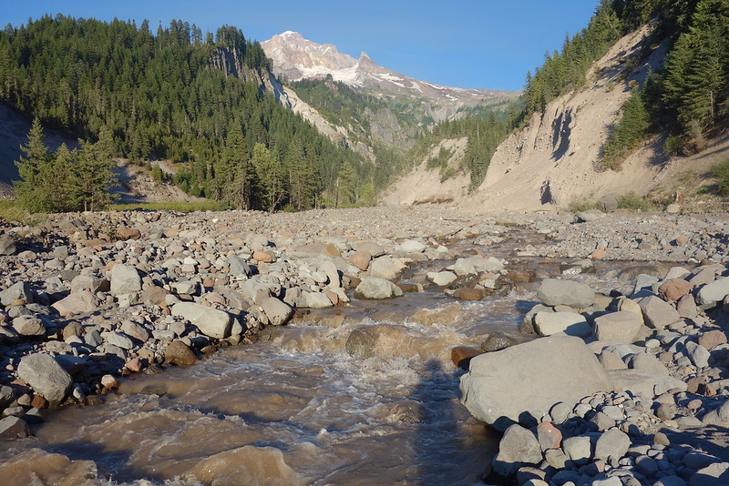
The first few miles are like a beach, jogging east down sandy slopes on the way to the White River. A few PCTers are already out, heading up to Timberline for breakfast, but the trail’s otherwise quiet. Some deer and I startle each other. The sun shifts from red to purple to blue.
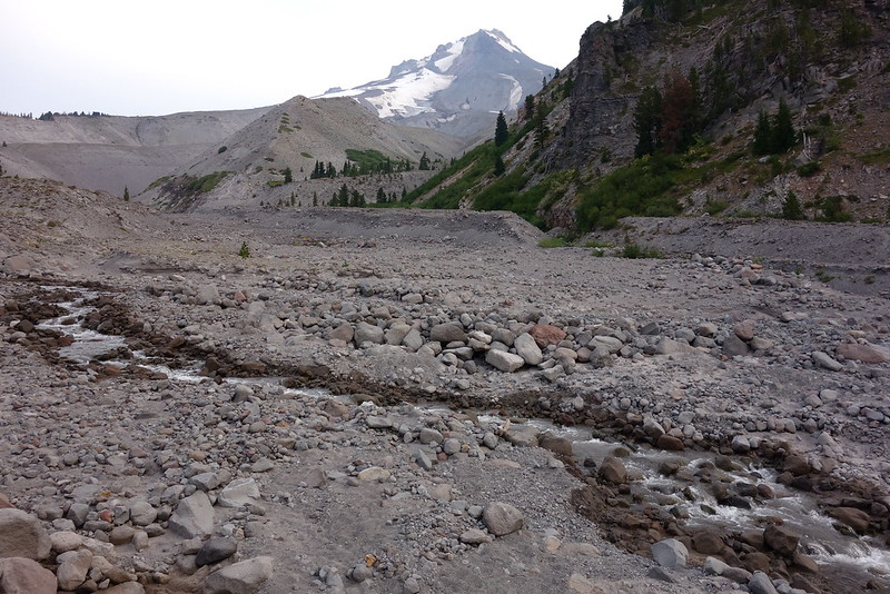
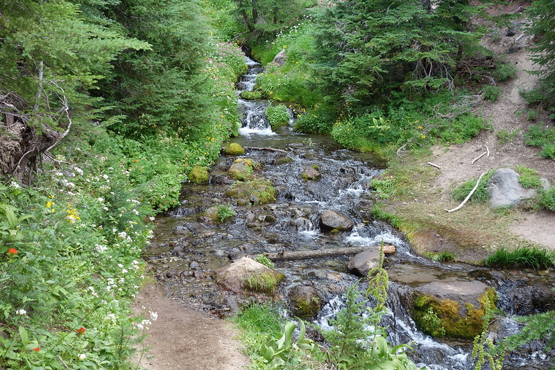
The White River crossing itself is an easy, hop-across affair in the middle of a vast floodplain. It’s beautiful, in a brutal sort of way.
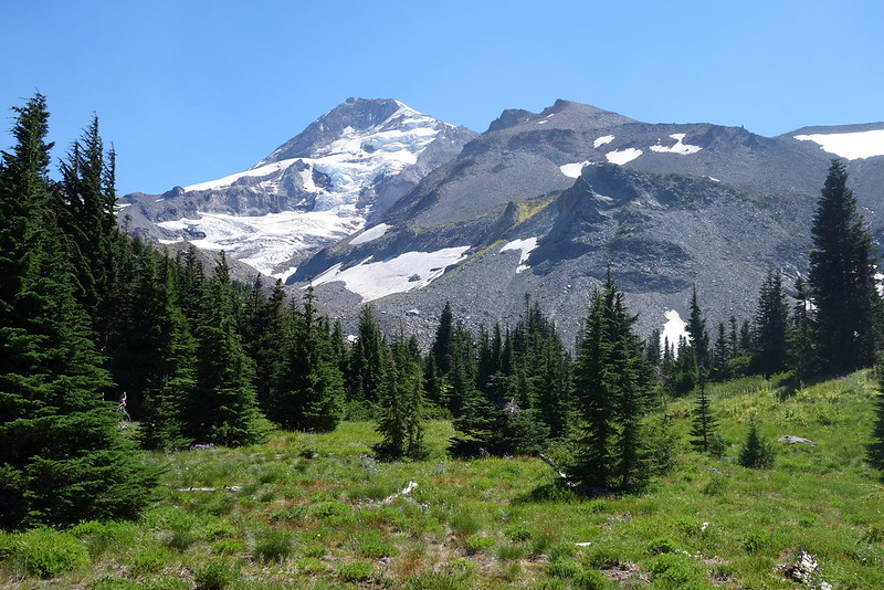
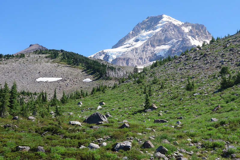
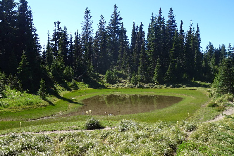
Then a few switchbacks up to Mt. Hood Meadows. It’s surreal: the trail feels wild, but above and all around are artifacts from ski season.
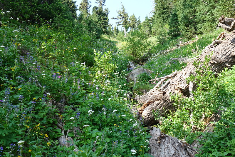
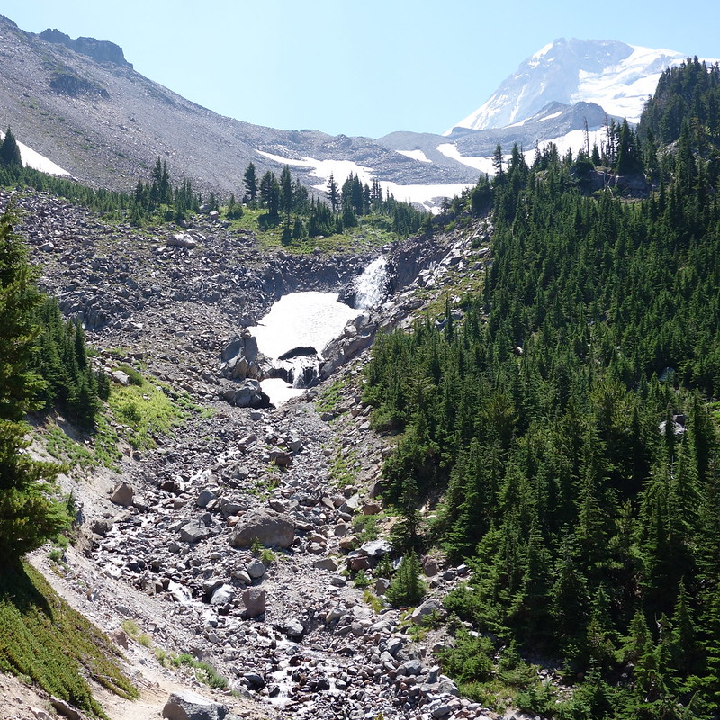
5.
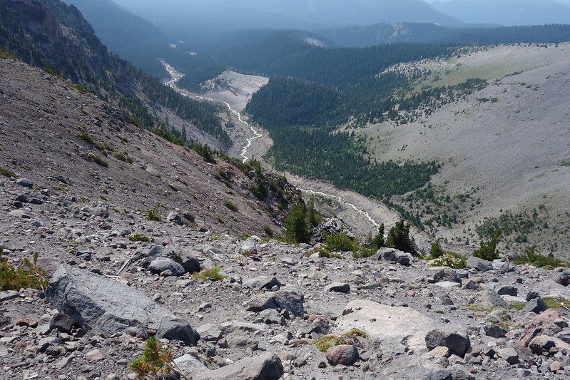
Beyond the lifts and snowcat tracks, the trail crests a small hill and traverses several sandy streams flowing out of the Newton-Clark Glacier. The biggest—Newton Creek—requires a bit of exploration to get across dry, but eventually I find a slick thin log that spans the whole thing, and gingerly inch across. As I do, a trail runner crosses upstream from me, just walking through the water. I look up and he laughs, holding his hands up in a “What are you gonna do?” sort of way.
It’s the last major stream I’ll cross today without getting wet.
6.
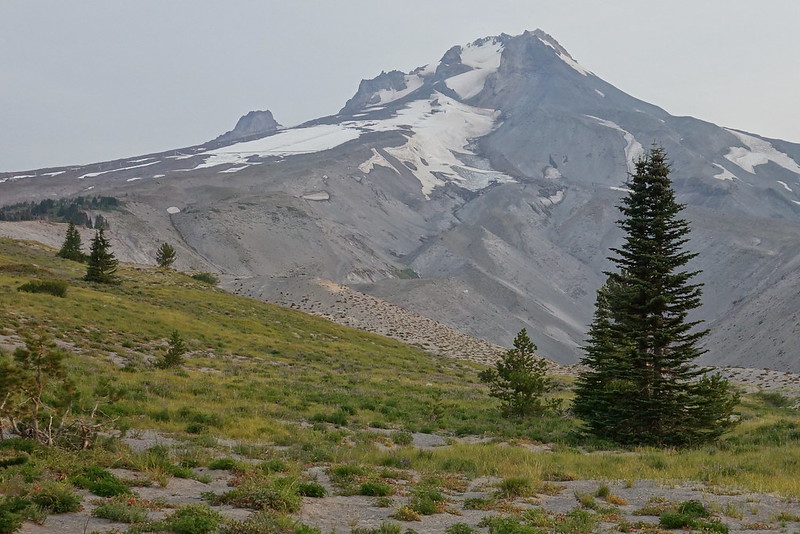
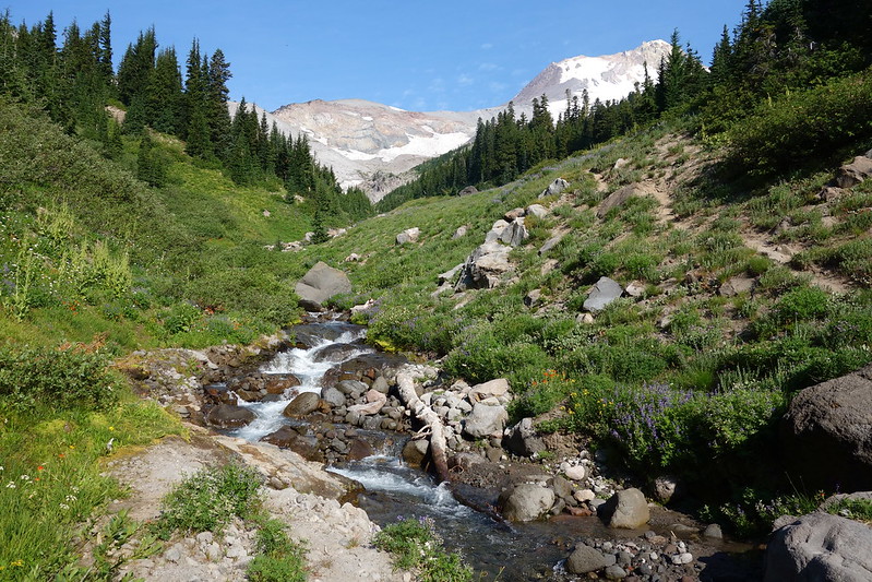
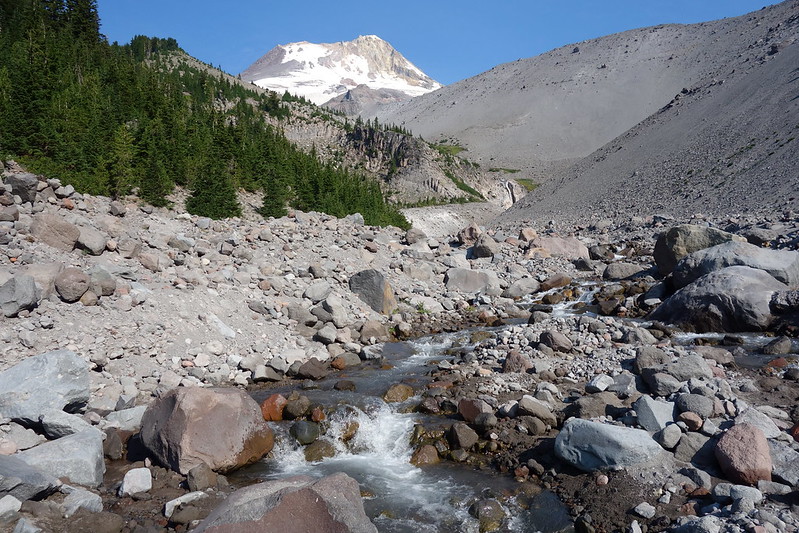
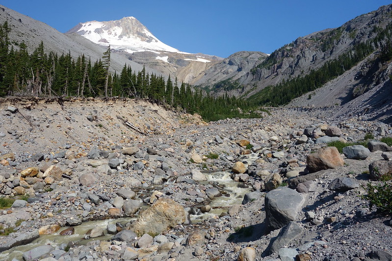
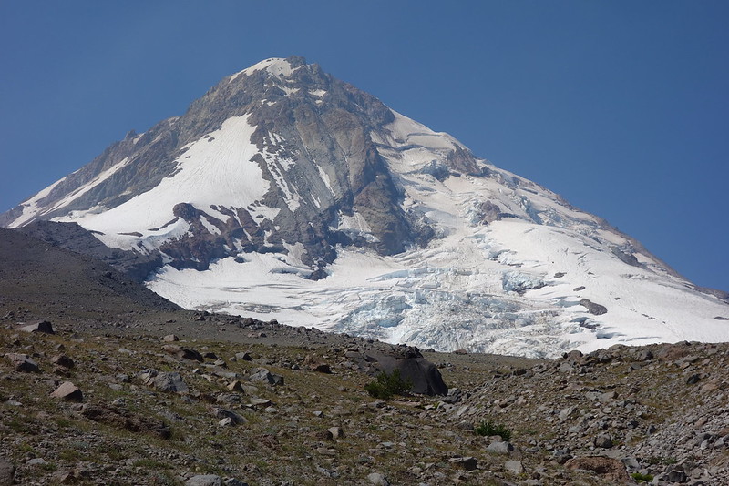
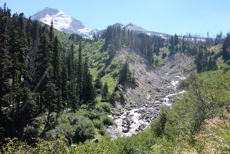
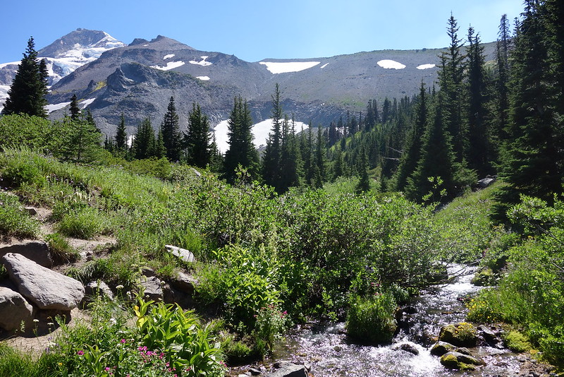
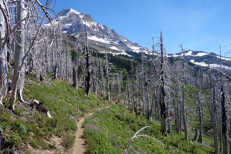
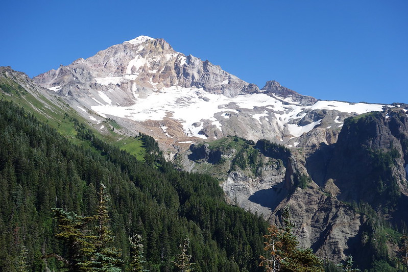
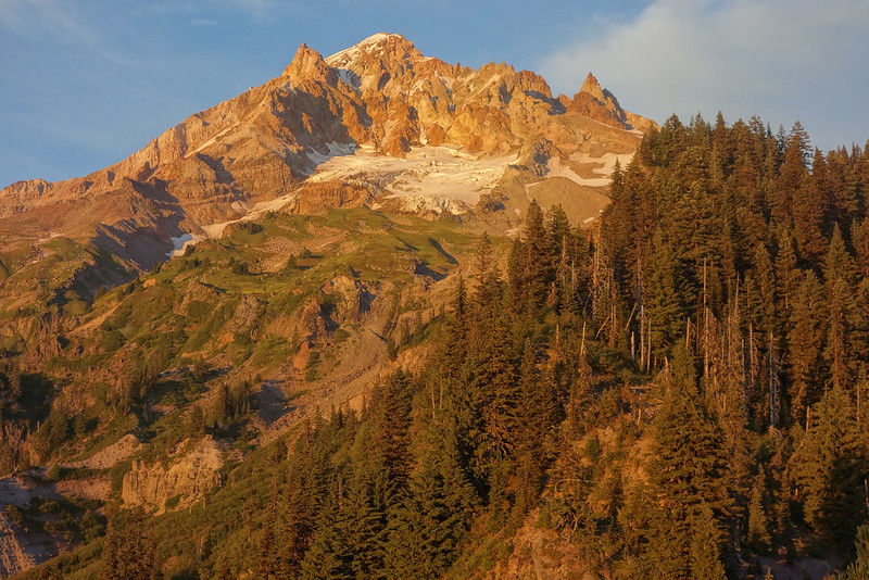
After the creek comes a big climb up to the trail’s highpoint around Gnarl Ridge. It’s pleasant at first—shaded and easy—then sunny and steep. Smoke comes in from the east and slightly shrouds the mountain.
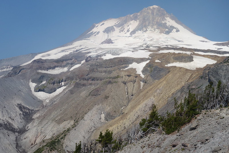
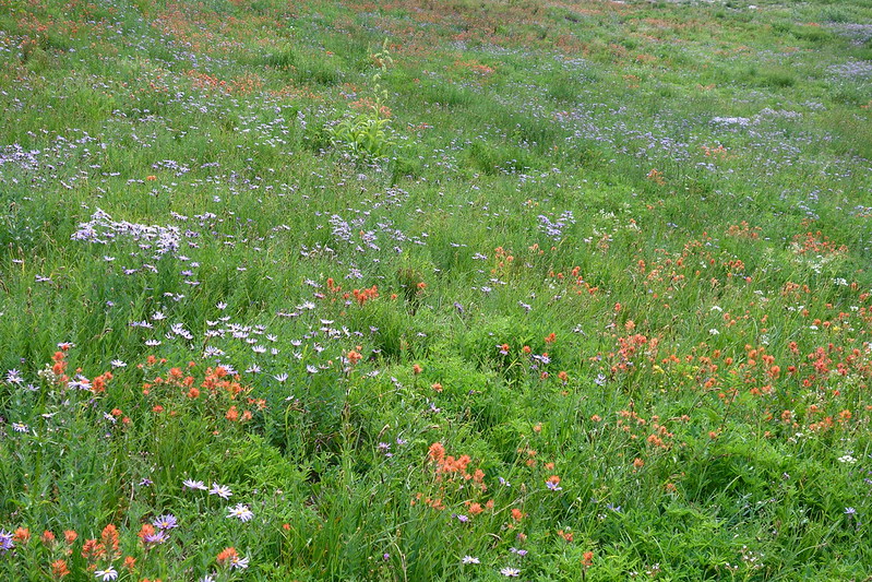
But soon enough I’m on top, traversing the rock and rubble below Cooper Spur. I remember the first time we came here—the first time we ever went hiking on Mt. Hood—when Krista and I were first doing this stuff. We stayed at the Cloud Cap Campground and dayhiked up around here. I was in jeans and a coat made for snowboarding. I think I brought us beer in glass bottles. Later that year we went to Disneyland and I proposed. Some lady across the way screamed and pointed for her husband to see me down on one knee. The next summer, we got married and went on our first backpacking trip. A couple years later, we spent nearly a month hiking through the Sierra.
Krista’s off in the Sierra again right now, walking from Yosemite to Tahoe. I look up at the sky and think of her down there.
7.
There’s a tangle of use trails and dayhikers around the Cloud Cap Campground, big groups just setting out for the day. I pass through quickly, eager to get through the next set of water crossings.
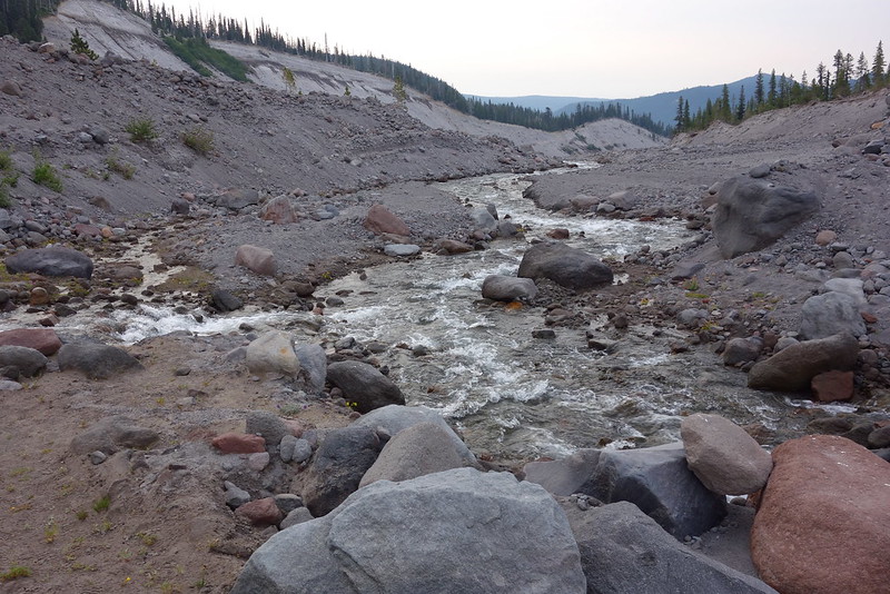
The next set of crossings is supposed to be tough.
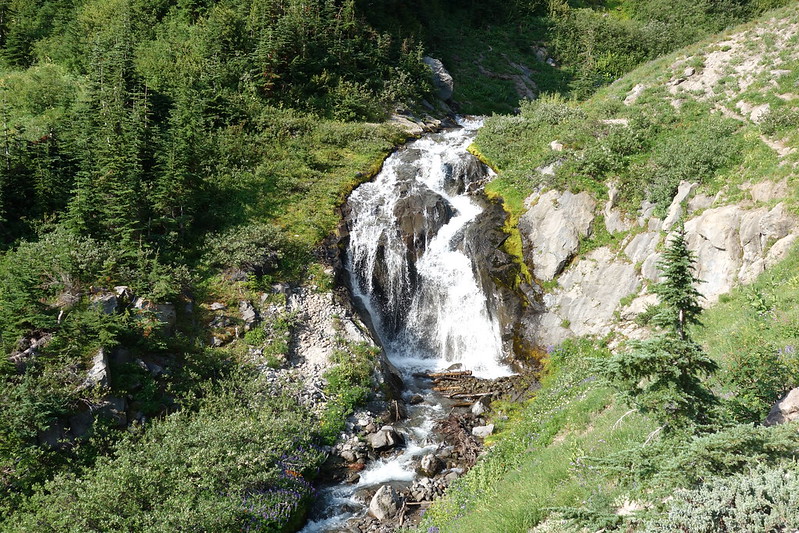
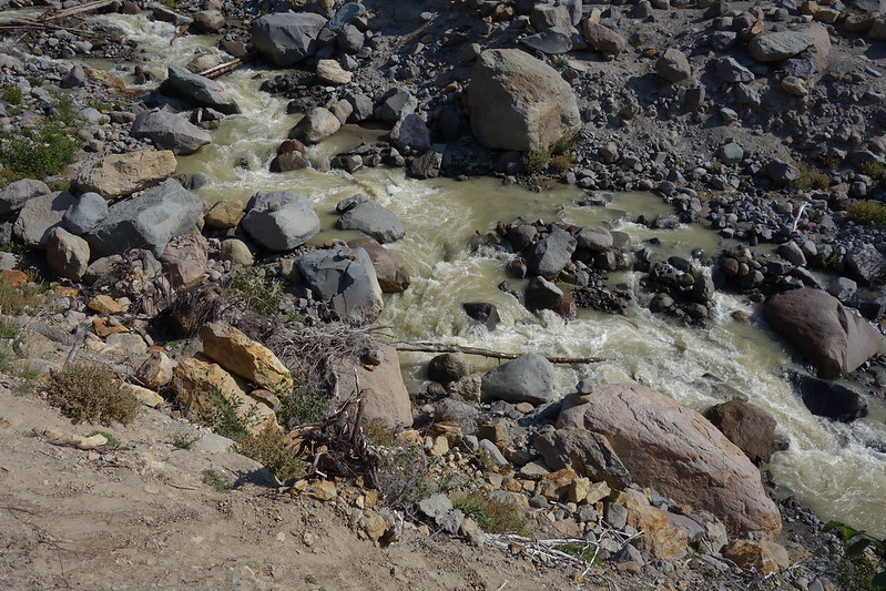
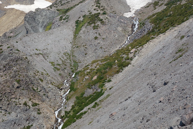
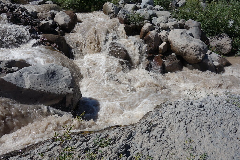
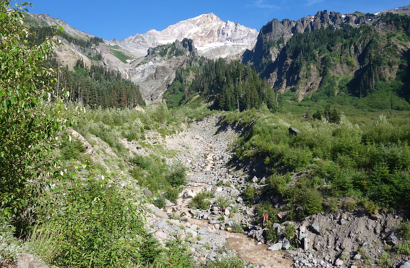
First is Eliot Creek. For years, there was no official trail across Eliot. After a storm washed out the trail in 2007, the only way across was a steep, unofficial route up near the Eliot Glacier. But, a couple years ago, the Forest Service built a new crossing, this one a thousand feet lower.
The trail switchbacks steeply down from the Campground to meet the creek just below a large waterfall. The water’s all brown and white from silt and speed. There’s a group on the other side, trying to work something out. I mimic the runner I met this morning, putting my hands up and smiling—what are you gonna do?—then walk through.
It’s surprisingly easy. The water briefly runs over my waist, but it feels wonderful in the early afternoon heat, and the footing’s good enough that falling doesn’t seem like a live option.
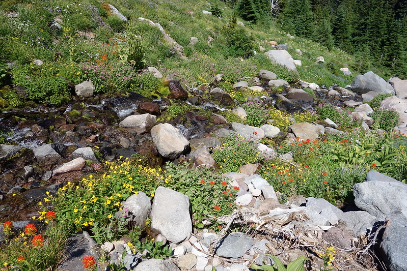
From the crossing, the trail switchbacks up, then pleasantly traverses across several wooded creeks. I stop for a second to filter water, then stop again to eat a little something. This might actually work!
8.
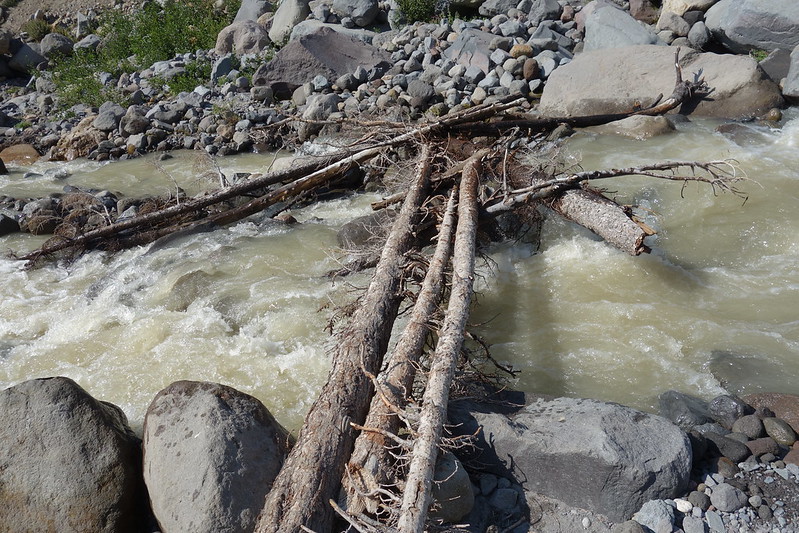
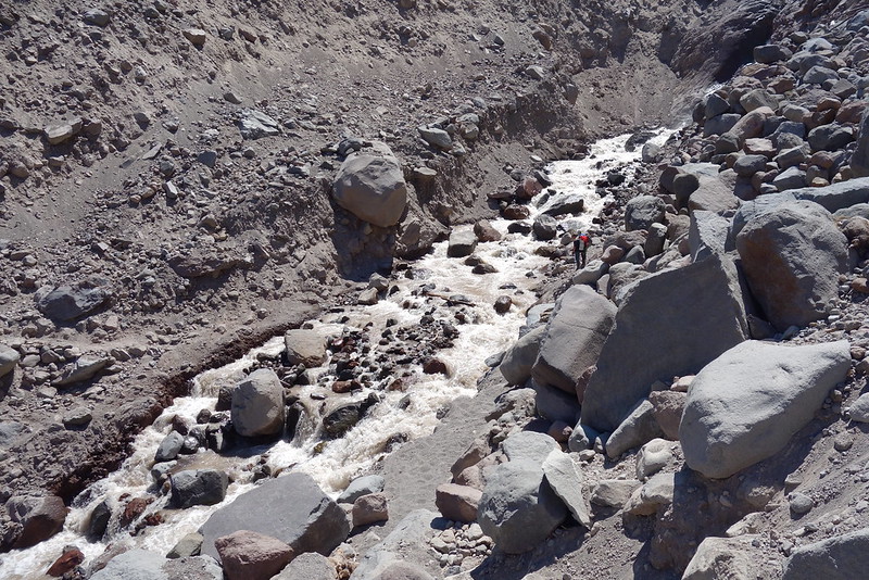
The second big crossing is Coe Creek. The water’s higher here, so high I hesitate for a while before starting in. Like the Eliot, there’s a group on the other side, and I wave for them go first. A woman wades in slowly, her legs seem to shake. I don’t think she has poles. And then… she falls. It happens all at once, like someone’s edited the film. One moment there’s a person standing there; the next, it’s just water. It’s all so fast that I have no idea how bad it is, or if it’s bad at all. My stomach drops.
But just as quickly she pops up, a little downstream but seemingly fine, now nearly back to her side. I watch her friends run down, and watch, stunned, as they all start to laugh.
It takes a while to get up my nerves, but eventually I figure I just need to make a go of it. The water’s fast and high—up to my stomach and splashing toward my chest—but the footing’s good and I take it slow. Soon I’m climbing up the other side.
“Oof,” I smile at the woman and her friends. They’re all smiling too. “We knew we should have just made camp in Elk Cove!”
9.
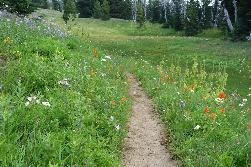
The next few miles are through easy, familiar terrain: up to Elk Cove, then through Wy’East and Cairn Basins, then over toward McNeil. There are a few crossings—a couple forks of Ladd Creek—but, after Coe, I just take them all wet and it goes easily.
I feel like I’m on a moving sidewalk.
It’s already mid-afternoon by the time I start descending to Bald Mountain, and I worry about finishing in the dark. I mean, of course I’m going to finish in the dark, but I’d hoped to get across the last big crossing—the Sandy River, maybe 10 miles from the trailhead—before sunset. Time to move.
I jog down to Bald Mountain, then further, down to the Muddy Fork. The trail’s nearly flat, and it’s wide and smooth except for a few small washouts. For the second time today, I think that this just might work.
10.
The Muddy Fork crossing ends up being sort of convoluted. This whole area washed out a few yeas ago, and the trail now wends unsteadily through a regrown maze of alder and rock. The actual crossings are fine—I just walk across, not even looking to find something dry—but I’m not sure I’m on the trail until, well beyond the washout, it expands into something like a path.
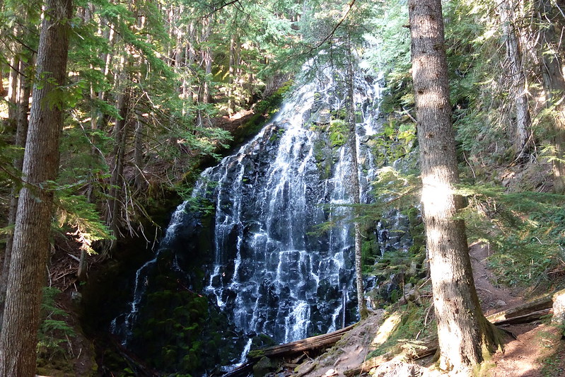
Then it’s into easy, mellow woods on the spike of land that separates the Muddy Fork and Sandy Rivers as the sky drifts into an hours-long sunset. I pass Ramona Falls and a dozen dayhikers, stop to eat a small snack for dinner.
The Sandy River’s running slowly, and I wade across just as the first drifts of purple streak out from the distant hills. I pause in the middle to soak my feet, and smile at my own long shadow, stretched toward the mountain.
11.
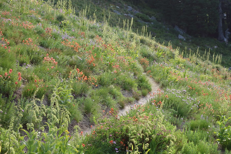
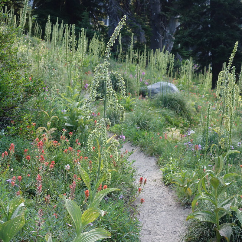
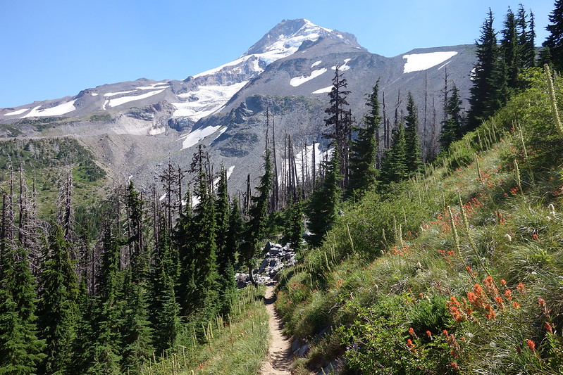
After crossing the Sandy, the trail meanders into deep forest along the rapids of Rushing Water Creek, then switchbacks up a narrow spur on the way to Paradise Park—the day’s last long climb.
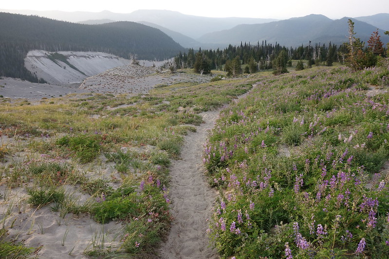
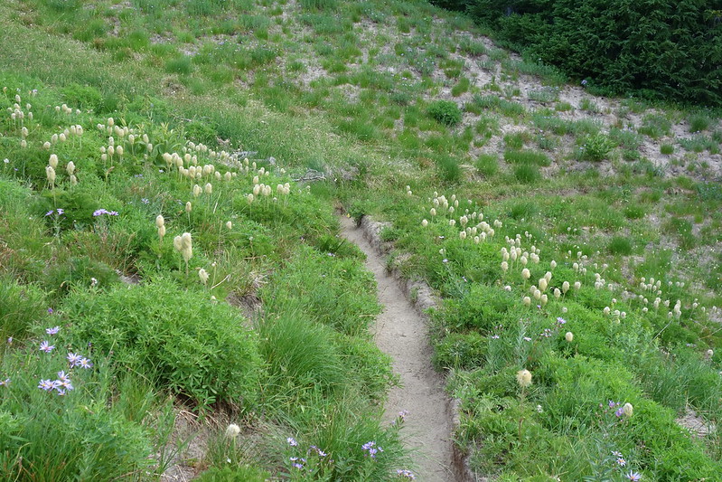
I barely beat sunset up the hill, and emerge into open meadows on top just as the entire horizon runs red. No reason to rush anymore, so I sit for a while, eating gummy bears and watching the light disappear.
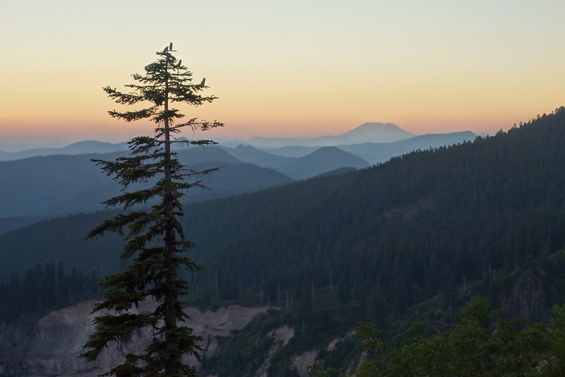
12.
The stars are out by the time I stand up, and my legs have noticed what we did today. They complain, but we ramble on all the same, now on familiar trails, lightly lit by my headlamp on low.
Here and there tents are scattered around the basins. Fragments of whispered conversation float out, through thickets of old flowers and trickling creeks and my footsteps in the sand.
It all goes faster than I think it should. Soon I’m crossing the Zigzag River; then I’m climbing back to the Lodge. Its lamps light the hills for miles, like beacons of home. Someone’s driving a groomer up what’s left of the snow, preparing it for tomorrow’s summer skiers.
Outside, a few guests sit on the patio, drinking wine or watching the stars. Someone says that the mountain seems to glow at night.
13.
Back at the car, I sit heavily for a long time, eating the remains of this morning’s donuts, sort of in shock.
I didn’t think I could do this.
I think again of that first hike up here, of the tides those trickles portend. Then I remember: I brought a celebratory beer! I find it tucked in the backseat under some spare clothes, still cold. It’s in a bottle. I don’t know if I did this on purpose, but it’s the exact same type I carried out from Cloud Cap that day. I open it on the back bumper, take a sip, and think, again, of Krista.

Impressive. I just came off the Timberline but I took 5 days to do it.