Note: we’ve gotten way behind on blogging. The next several posts will be for trips that happened a while ago. This one’s from August, and written mostly in early September.
We’ve been lucky this summer. We got an early start in the Olympics, a couple gorgeous trips further south and east than I usually go, and a loop around Broken Top that I’d been dreaming about for years. And now we’ve finally hit proper backpacking season – the snow is melted up high, the bugs are dead – but we’ve already had a full summer. For me, at least, everything from now on is supererogatory, a golden sunset at the end of an already beautiful day.
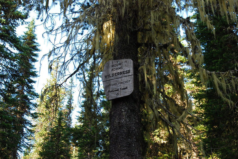
A couple weeks ago we had a free Saturday, and went up for a quick one-nighter on Mount Adams: up from the Killen Creek Trailhead to Killen Meadows, then up a little further to High Camp at Adams Glacier Meadows and an unnamed lake at the base of the Adams Glacier.
We left Portland Saturday “morning” at 4:30 and drove through the Gorge to Hood River. The toll booth attendant on the Hood River Bridge looked as though she’d just just woken up. It was the sort of think you almost feel like you shouldn’t see. She was eating some colorful children’s cereal out of styrofoam bowl with a plastic spoon, blearily watching the emerging lights of Hood River. Maybe sunrises are only pretty when you don’t have to be up to see them.
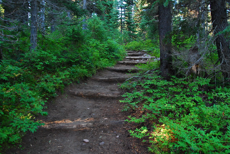
Anyway, we eventually got to the (full!) trailhead, ate a quick breakfast in the car while hiding from mosquitoes, futzed around with our backpacks while swatting at mosquitoes, and started up the pleasant, wooded trail toward High Camp.
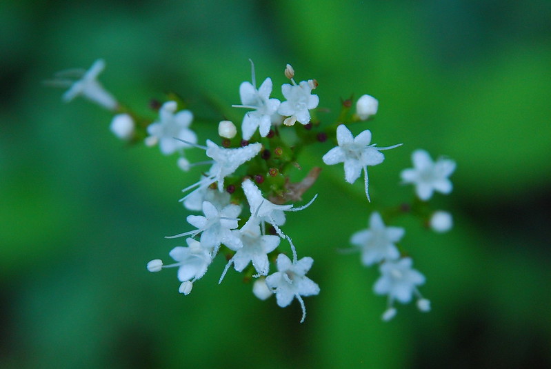
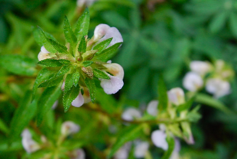
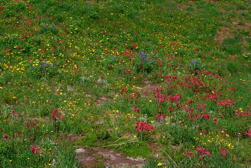
After a mile or so, there was a small-ish meadow with some small-ish flowers.
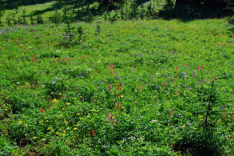
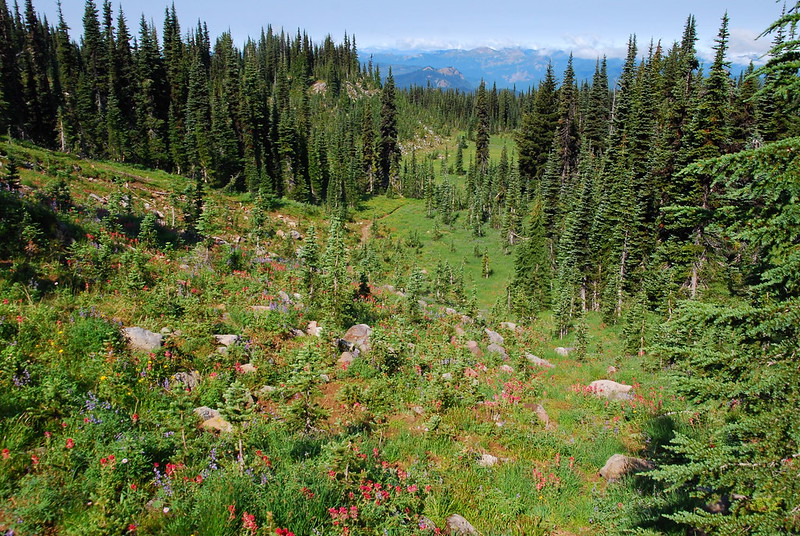
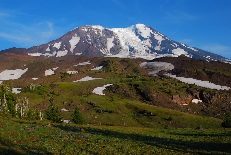
A little later, the meadows started in earnest, as did the views of Adams.

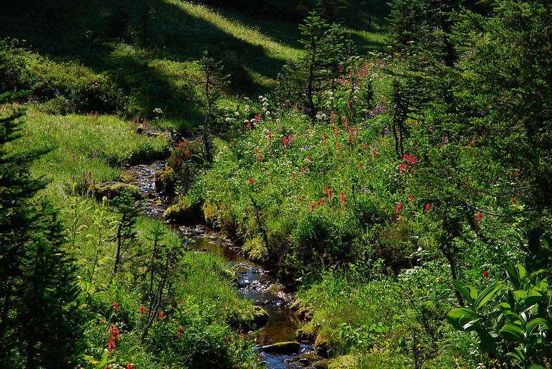
I think this is Killen Creek?
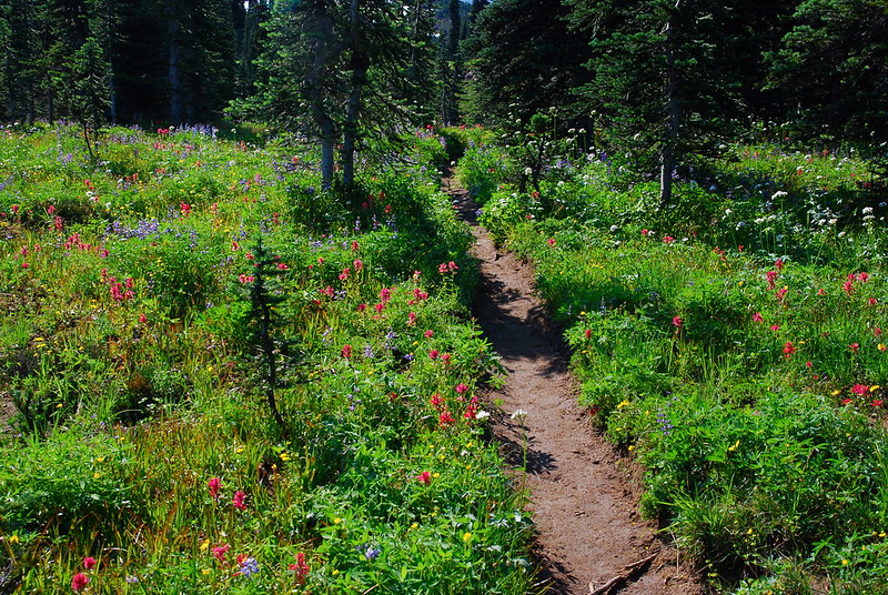
Pretty sure this is the trail (and some lupine!).

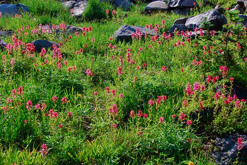
Paintbrush!
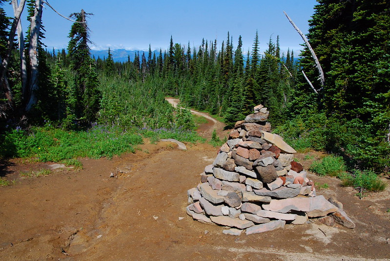
After the PCT junction, the Killen Creek Trail turns into the High Camp Trail, but things (and flowers) remain about the same. The trail does braid a little, but route finding is never an issue.
Cairn of Doom.
This looks sketchier than it was.
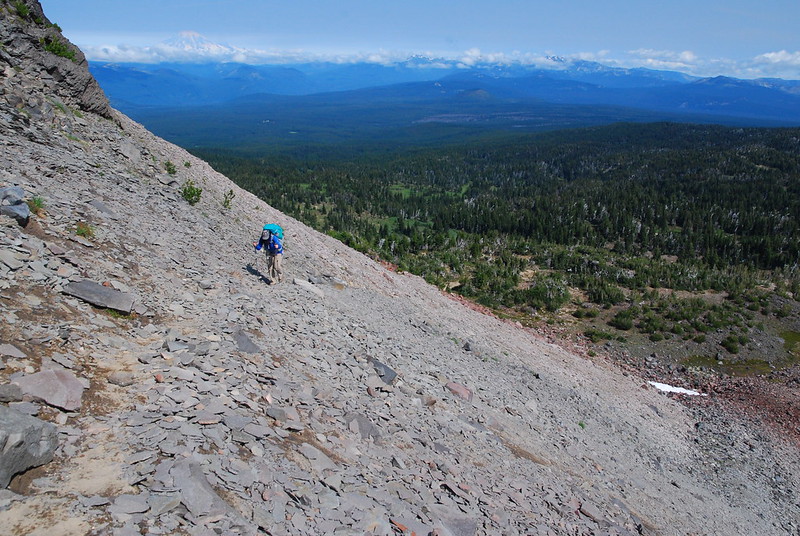
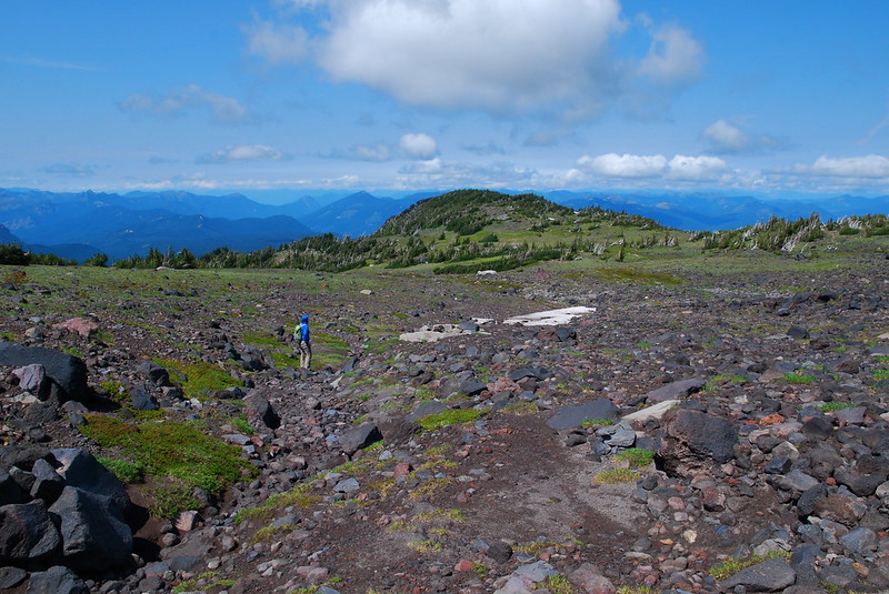
The work to view ratio on this hike is ridiculously low, and we got to High Camp before we knew it. If someone were looking for a first backpacking trip, this might be a great candidate. Totally easy and totally gorgeous. We set up camp near a clump of trees, took a quick nap, had an early lunch, and set out an a leisurely dayhike. I think the trail veers left at High Camp, but we went straight up, over a small moraine at the base of the Adams Glacier.
Looking back toward camp.
Up the moraine.
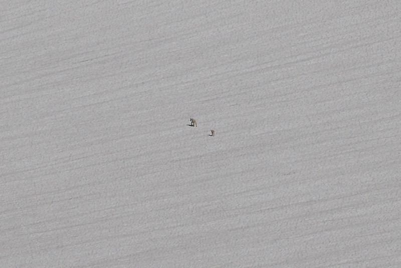
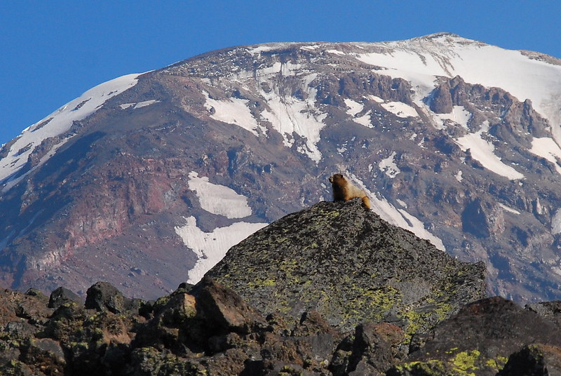
Goats!
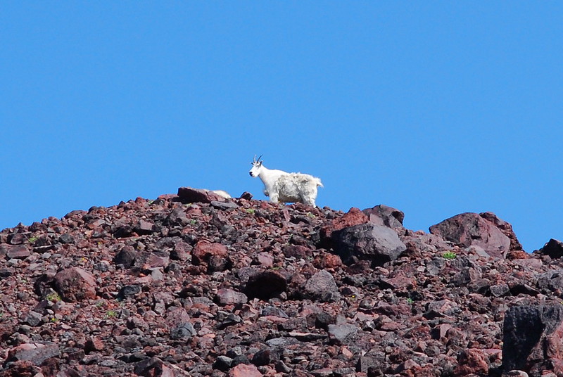
They just weren’t that into us.
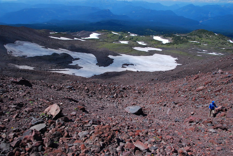
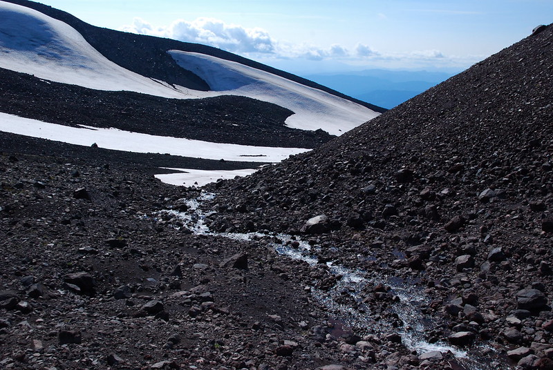
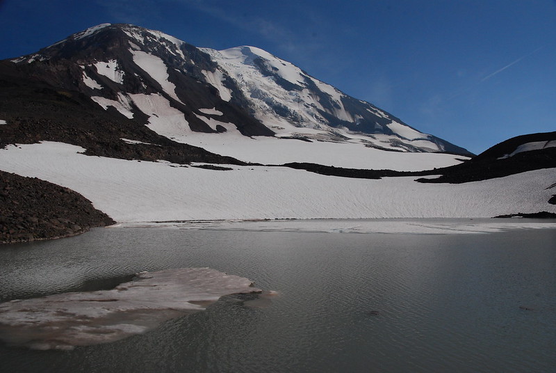
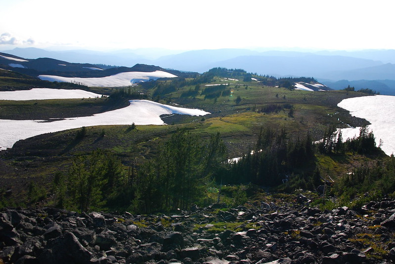
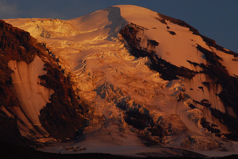
Once we got over the moraine, the scenery became gloriously alpine. I could have spent an entire day just looking around.
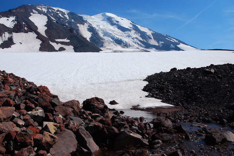
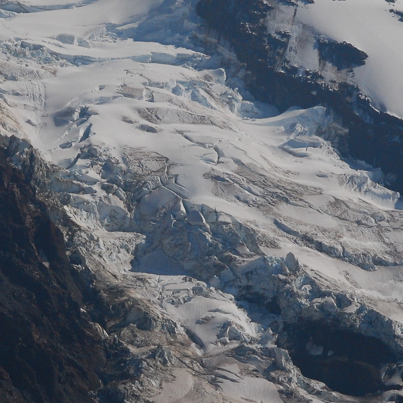
Adams Glacier is huge! The sounds of constant rock and snow falls were incredible.
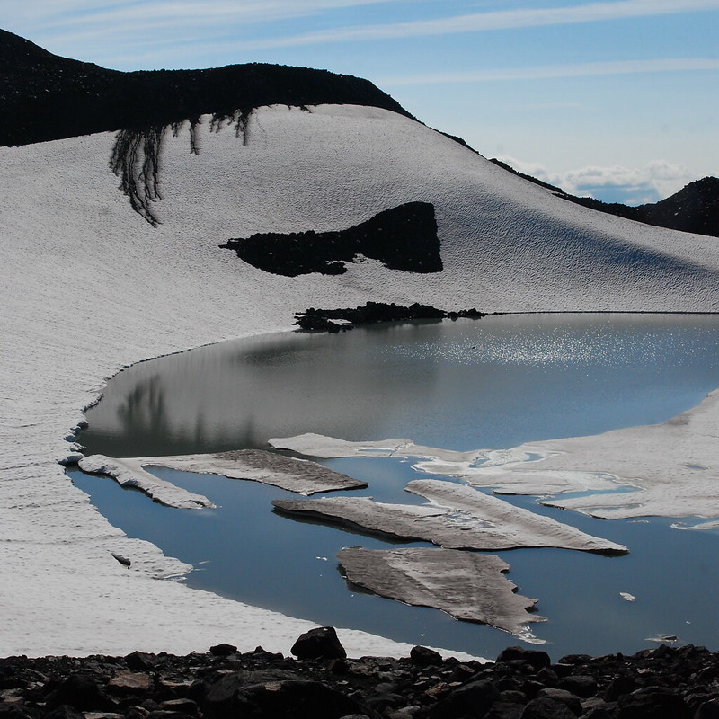
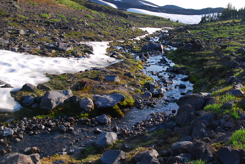
After hanging out by the creek for a while, we headed north-ish over a small snowfield to the glacial lake, stopping every couple feet to take more pictures.
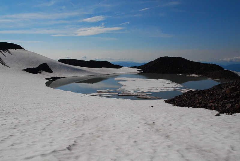
As we walked around the lake, we ran into a couple of bros planning to swim (!). I thought they were joking, but when we were walking back toward camp, we heard a high-pitched shriek, somewhere between marmot whistle and 80s hair metal falsetto. I think that means they got in, at least to the waste. The marmots had apparently heard our buddies doing a (slightly higher pitched) version of their call, and came out to see what was up. “Is one of our kind in trouble!?”
We got to camp with quite a bit of daylight still to spare, so I went for a little golden hour stroll around the meadow.
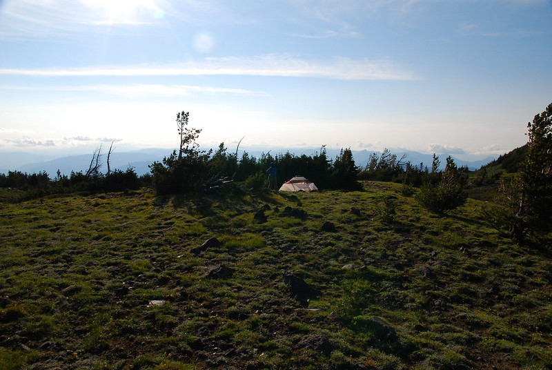
Here’s the lower meadow. If High Camp proper were full, or if you were just after some solitude, this would be a great place to camp.
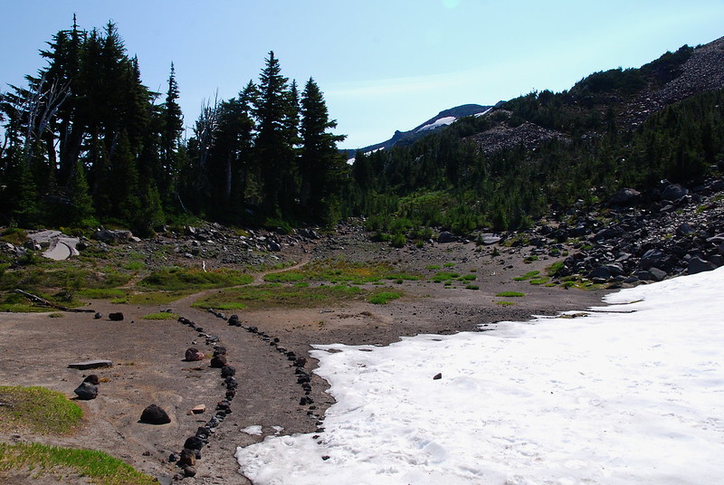
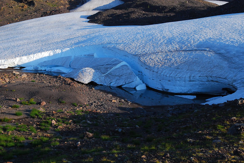
Down at the lower end of the meadow, there was the coolest snow field. I had to fight the urge to climb around on it. The scale’s deceiving here: this wall was at least fifteen feet tall.
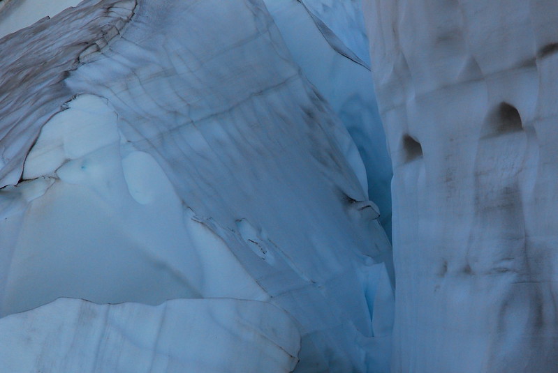
It was really difficult not to take 100 versions of this picture.
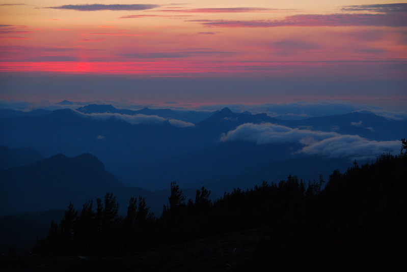
Dinner was an abbreviated affair, running around trying to escape the mosquito riot going on outside our tent, but I braved the onslaught to watch the sunset.
The bug situation was still pretty bad the next morning – when we woke up, the mosquitoes were on the tent mesh looking intently in – so I ran around for a little while taking pictures, but mostly we just packed up and ran down.
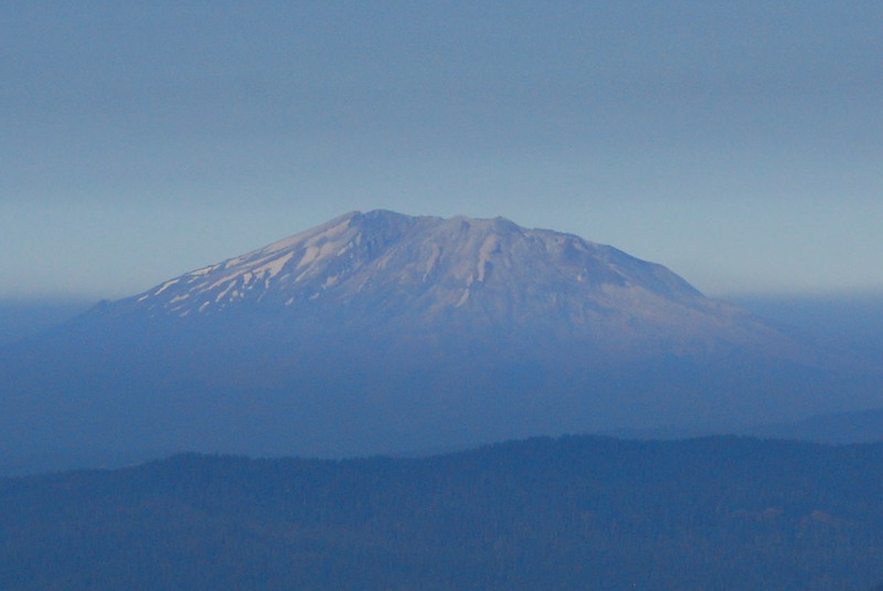
St. Helens!
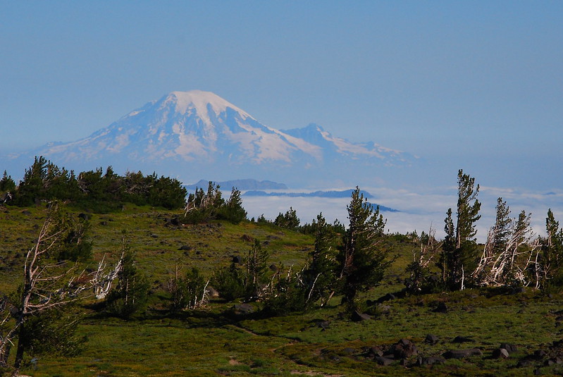
Rainier!
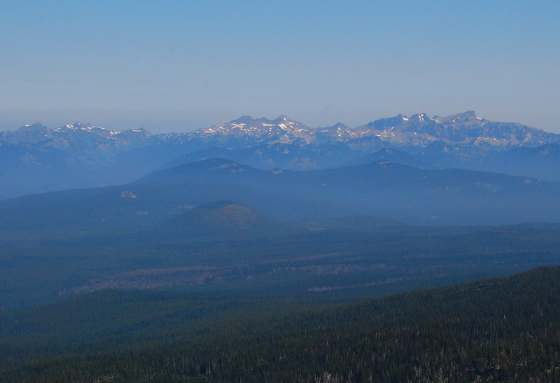
Goat Rocks / Another Gratuitous Exclamation Point!
One last look at the flowers before heading home.
-RLB

Hi there! Do you happen to have a GPX route that you took to get to the lake for GIA? Looking into doing this trip and wondering how hard the off route is to the lake! Any help would be appreciated!