October 1, 2015
The next several posts will be backlog from this fall and winter. This one’s from a few weeks after we got back from the JMT.
I sort of missed autumn last year – an early windstorm took the color off the trees as soon as it showed up – so this year I wanted to head out as soon as things started to turn. It felt early, but in early October I spent a day rambling around high up in the Gorge hunting for color. From the Herman Creek TH, I first followed the 400 to Wyeth, then took Wyeth up to North and Rainy Lakes, meandered around a little to see some trails I’d never seen, and took a quick hop up Green Point Mountain before taking Gorton Creek back to the trailhead. It was a wonderful.
This trip also marked the end of a project I’d been vaguely working on for a few years, of trying to walk on every official trail on the Oregon side of the gorge. I won’t say much here, because there’s a longer post about the project coming, except for that it made the whole hike feel like a victory lap.
1.
I leave home early. I’ve got a long day planned, but my knees have been a little sore since the JMT, and I’m not sure how fast I’ll be walking. Also, I really miss watching sunrise from the trail.
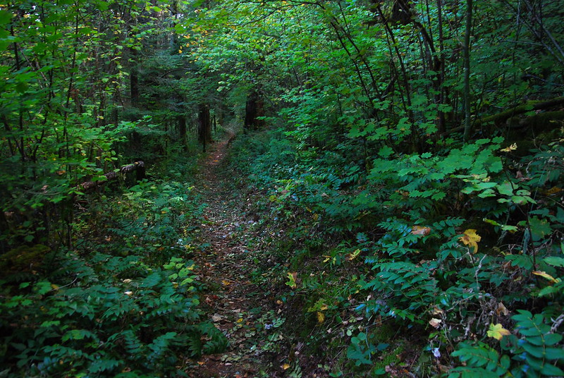
I meander up Herman Creek with a headlamp, then turn east on Trail 400 to walk into sunrise. It’s all so familiar. I missed home!
2.
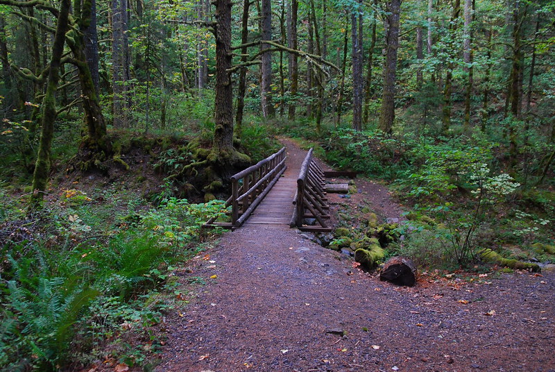
I’m not exactly sure how far it is from Herman to Wyeth, but it goes quickly, and soon I’m at the Gorton Creek Bridge, where I stop for a breakfast Snickers. I don’t think I’ll ever hike without Snickers again.
The junction – or: “junction” – here is a little confusing. At some point 400 becomes the Wyeth Trail (411), but the transition is, as best as I can tell, completely unsigned, and for a while I’m not exactly sure where I am. I needn’t have worried: there are no turn offs to worry about.
3.
Then… up. Wyeth’s not awful, but it’s not all that gentle either – a bit under 4000′ in a bit under 4 miles – and I slowly truffle shuffle for the next while. Apparently I’ve already started working on my Winter Insulation.
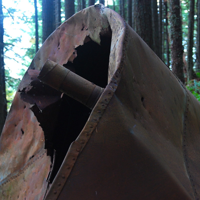
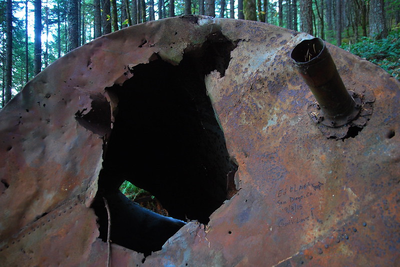
A little ways up, there’s an old water tank or something in a sort of improbable place. Not sure what’s going on here – maybe someone’s very old hydration pack?
4.
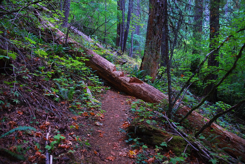
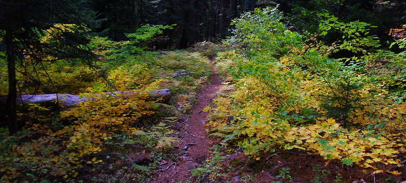
A little ways further, there’s a big log across the trail, into which someone’s carved a few very nice steps. I sit on one for second breakfast, and as soon as I do, I’m surrounded by the sound of a thousand birds scurrying around, doing whatever birds do to prepare for winter. And there are squirrels too – two of them, taking a too keen interest in my bar.
5.
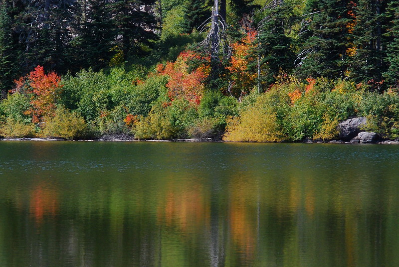
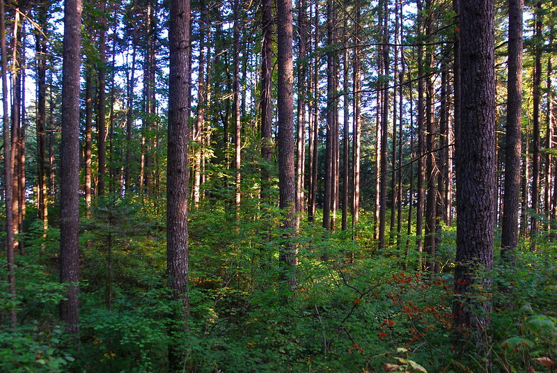
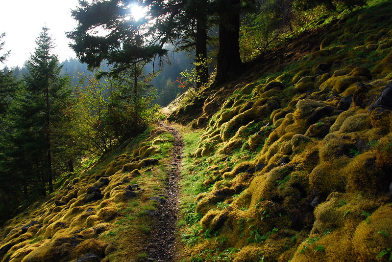
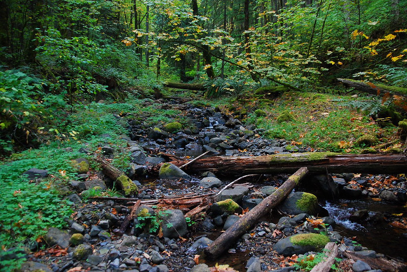
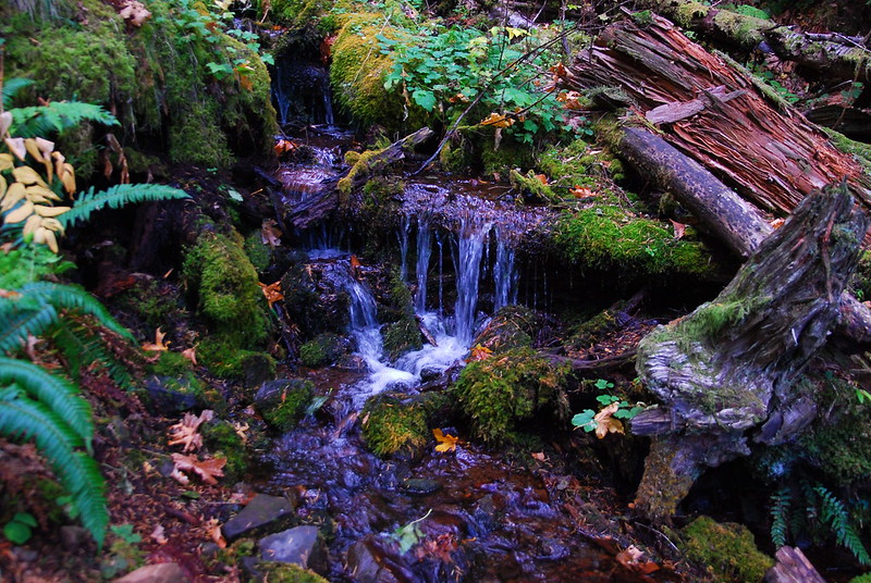
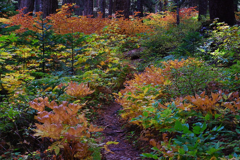
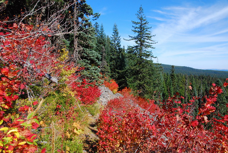
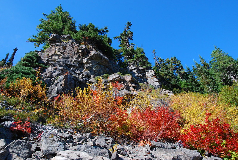
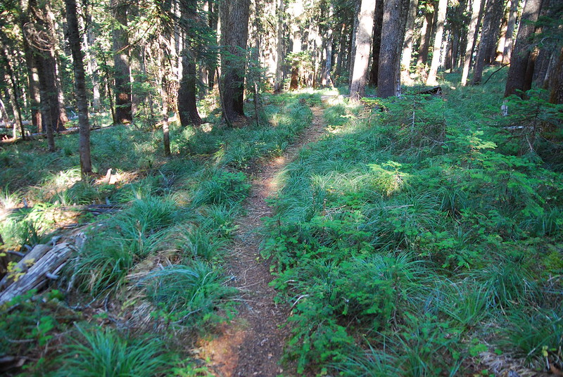
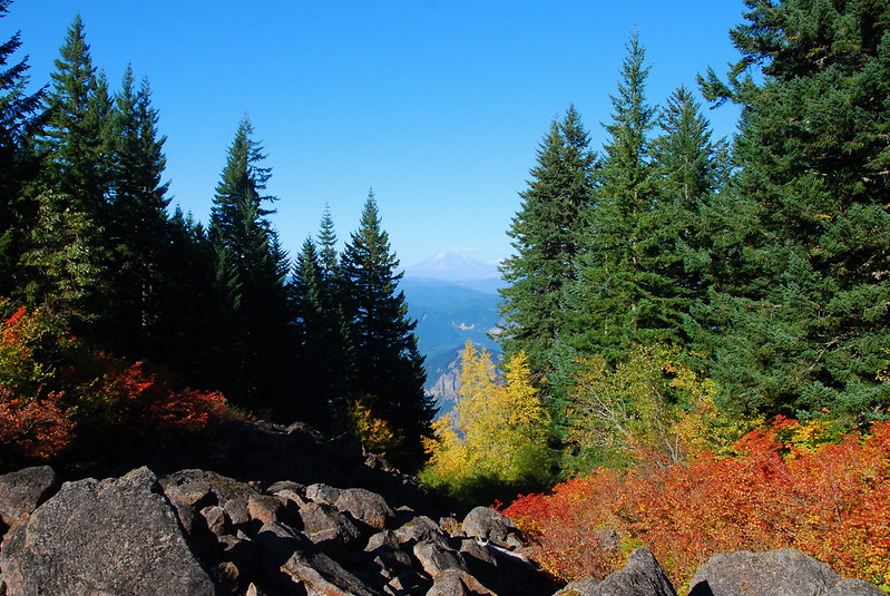
From here, the trail just gets better and better – first running along a small stream trickling through the tree roots, then into increasingly vivid fields of color.
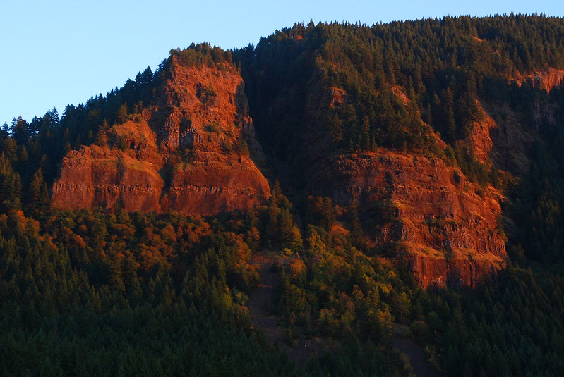
Oh, and there are views!
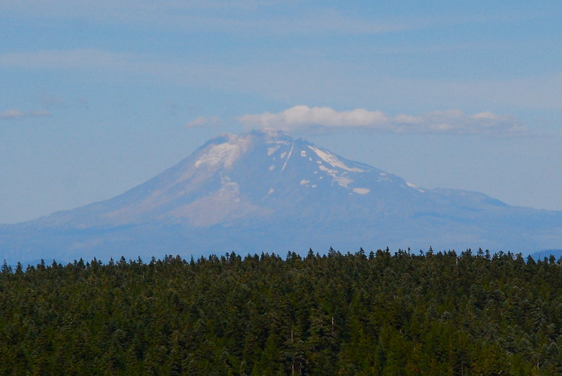
St. Helens, looking a little bald:
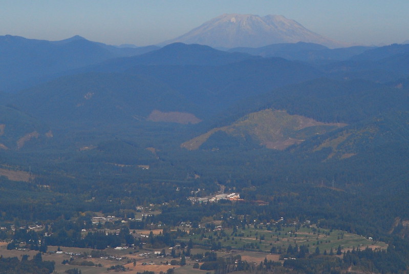
6.
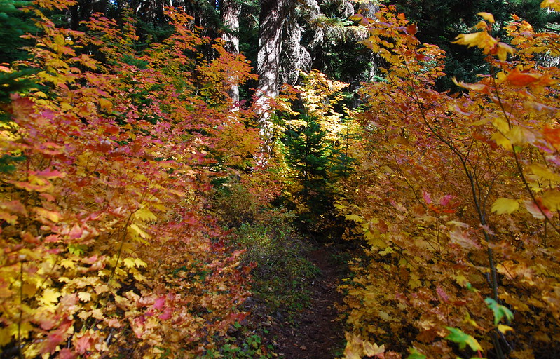
The trail passes a junction with the Green Point Ridge Trail then descends slightly, and views open up to Mount Defiance in the east.
And the colors! We weren’t gone that long, but I feel like I’ve been away for years. Coming up here feels like coming home.
7.
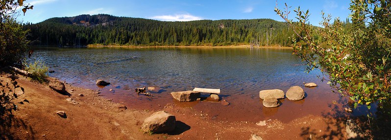
After crossing a dry Lindsey Creek, I walk up a hundred feet or so to the rock dam on the northeast shore of North Lake, where I have an early lunch and took several thousand pictures.
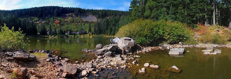
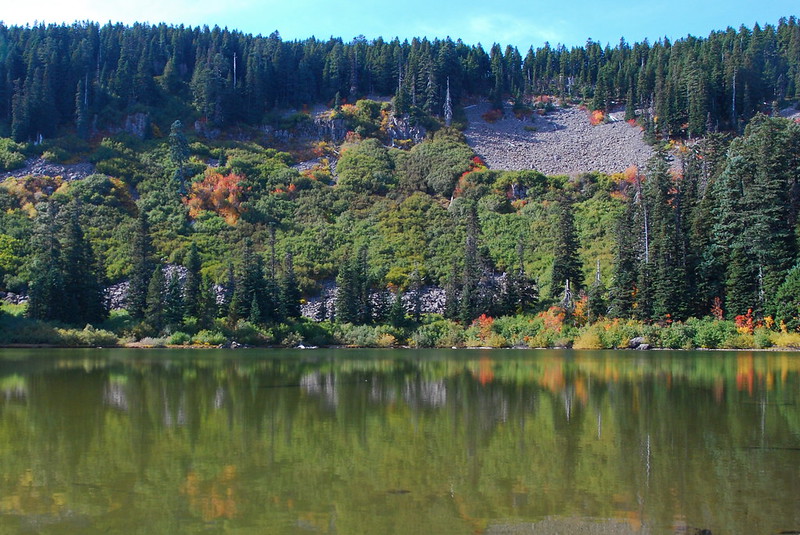
Sitting in the dirt on the side of the lake, eating gummy bears and sausage, I think about the end of the JMT. How dear everything felt, and how long it seemed I’d have to wait to feel that again. But I feel it now – that same sense wonder, in these familiar hills.
8.
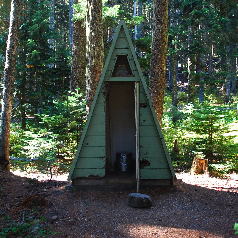
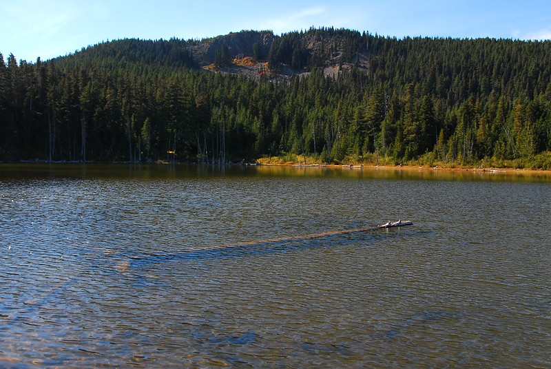
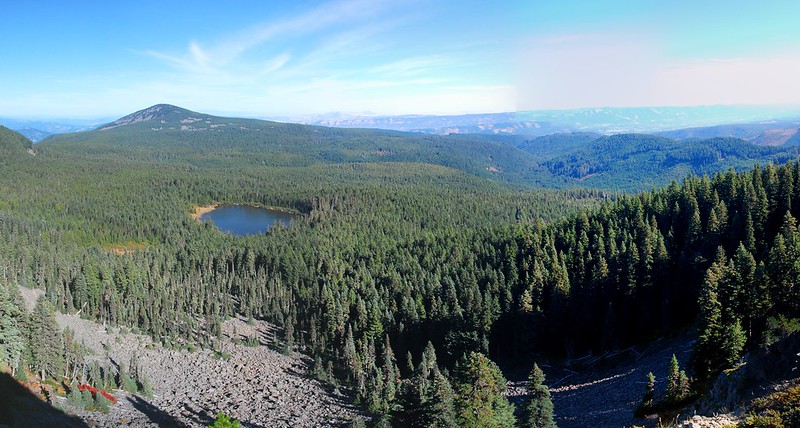
I meander a bit on the way to Rainy Lake, but eventually find the Famous Privy, at the edge of an utterly empty campground.
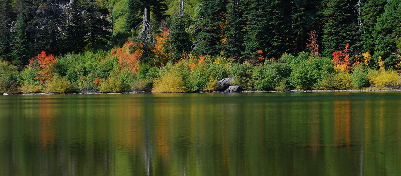
Rainy Lake:
9.
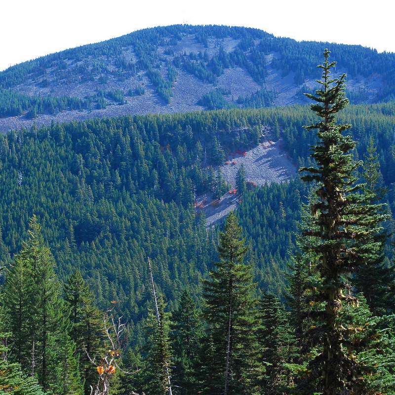
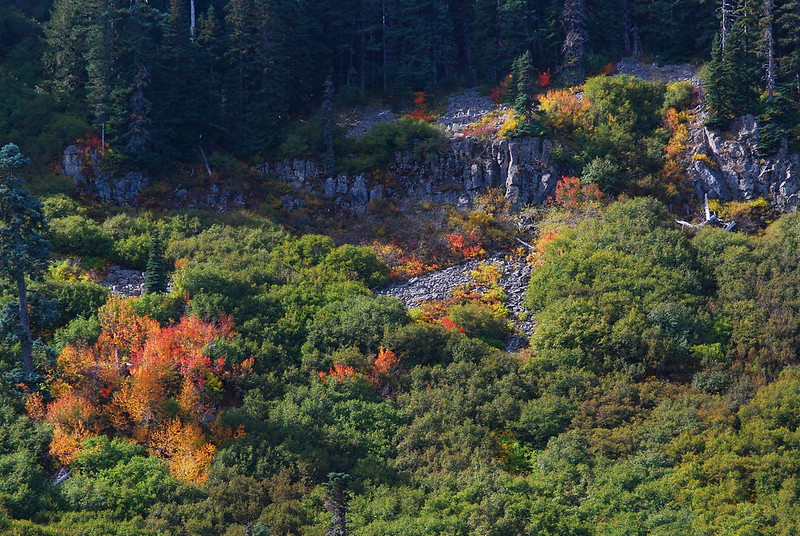
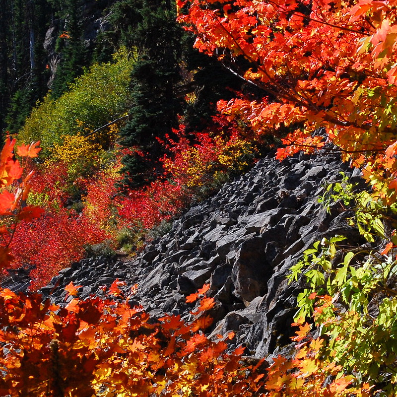
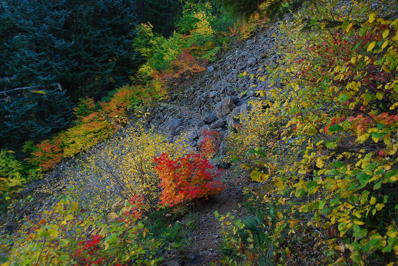
I ramble a bit more, trying and failing to find the Black Lake Trail (409A, see discussion here), and eventually end up ascending toward Green Point Mountain. I love the color framing the talus fields.
10.
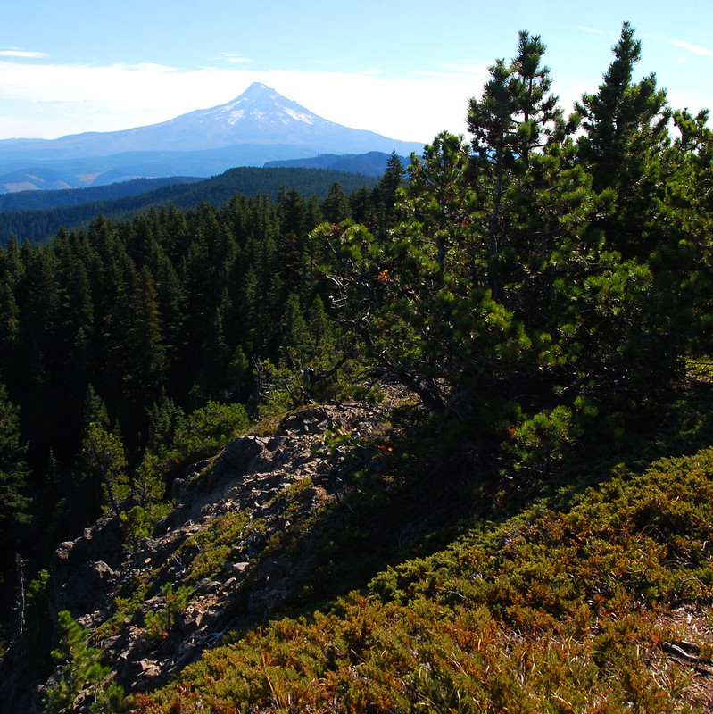
All the usual views from Green Point aren’t so bad either. After spending so much of the summer away, it’s nice to see the home team. Adams:
Hood:
Defiance:
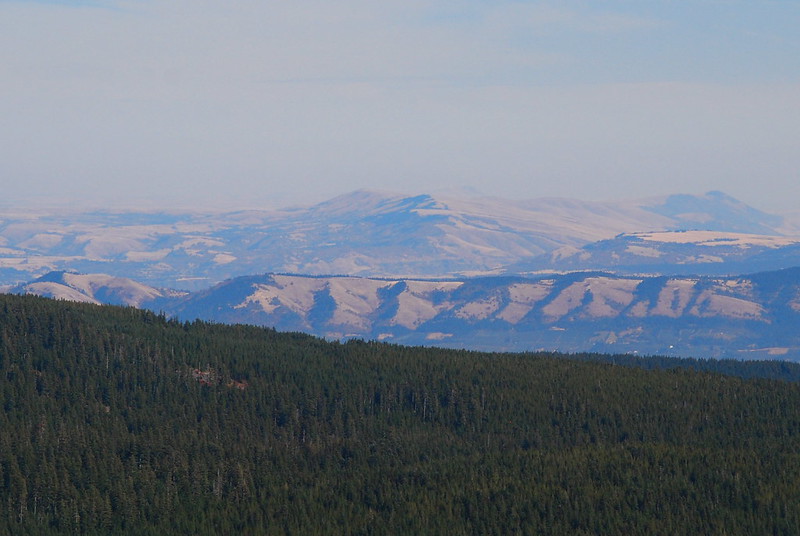
Nice too to see the line between forest and desert so clearly. I don’t think I’ve ever noticed it before.
11.
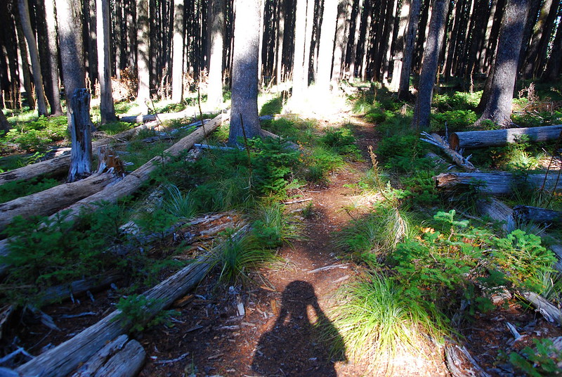
From Green Point, I take a sort of circuitous route part way down the Green Point Ridge Trail to the Ridge Cutoff Trail, then finally to Gorton Creek, which I follow all the way back. So much bear grass!
Self-portrait:
12.
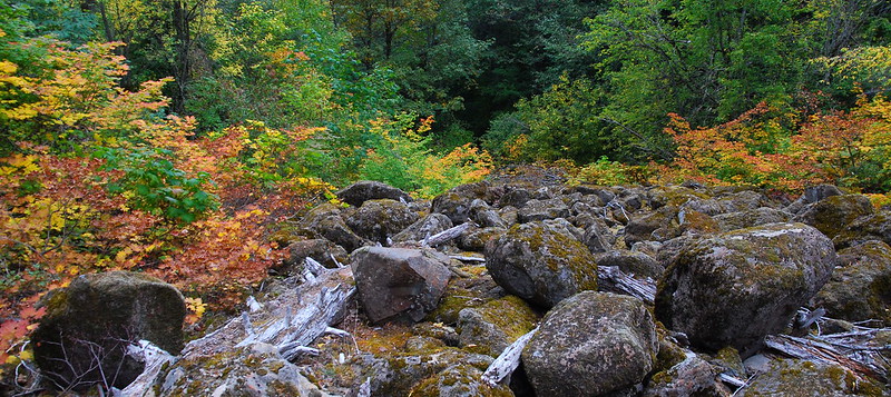
A little ways down Gorton Creek, there’s a massive, and massively beautiful, talus slope. At first, it’s just lurking through the trees.
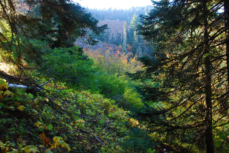
Then boom!
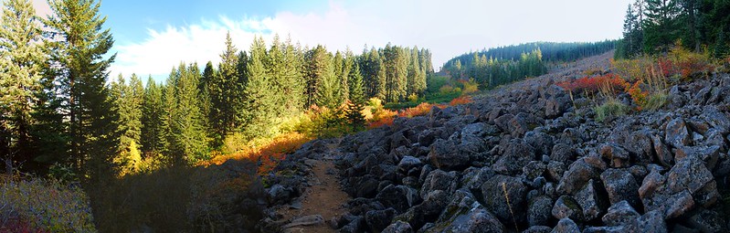
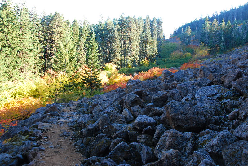
13.
Beyond the slope, things get a little hairy for a while. Lots of brush and washouts. I get the impression that this part of the trail doesn’t get a lot of use.
The trail’s in the bottom left:
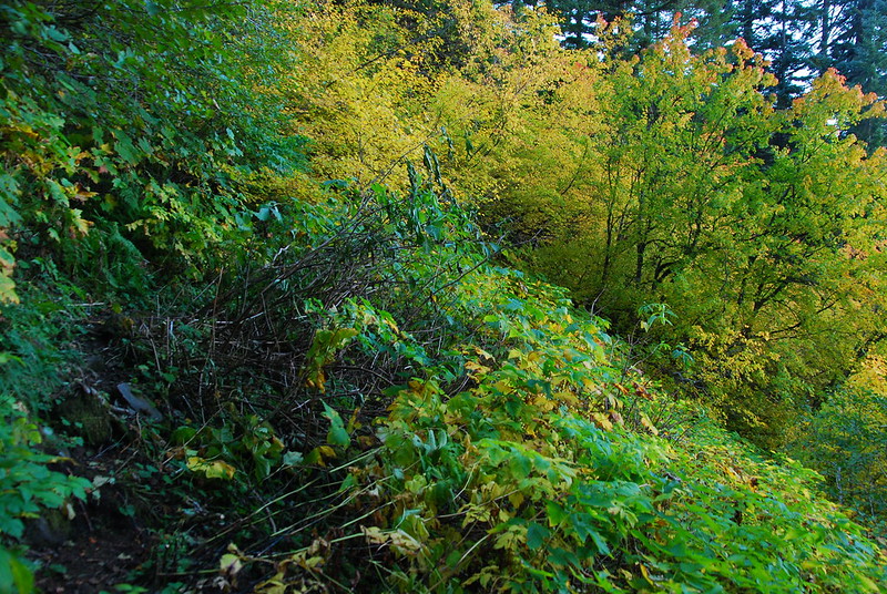
Center:
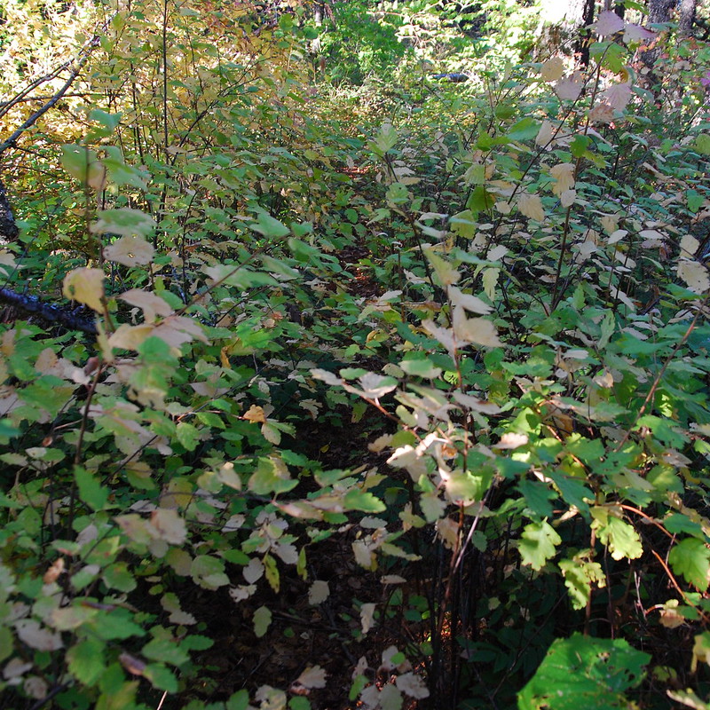
Even this, though, is interspersed with several smaller rock slopes, each lined with red and gold.
14.
Eventually, past a couple junctions with trails coming down from Nick Eaton, the quality improves, and it’s just easy, shady walking. I stop on a mossy log for an early dinner.
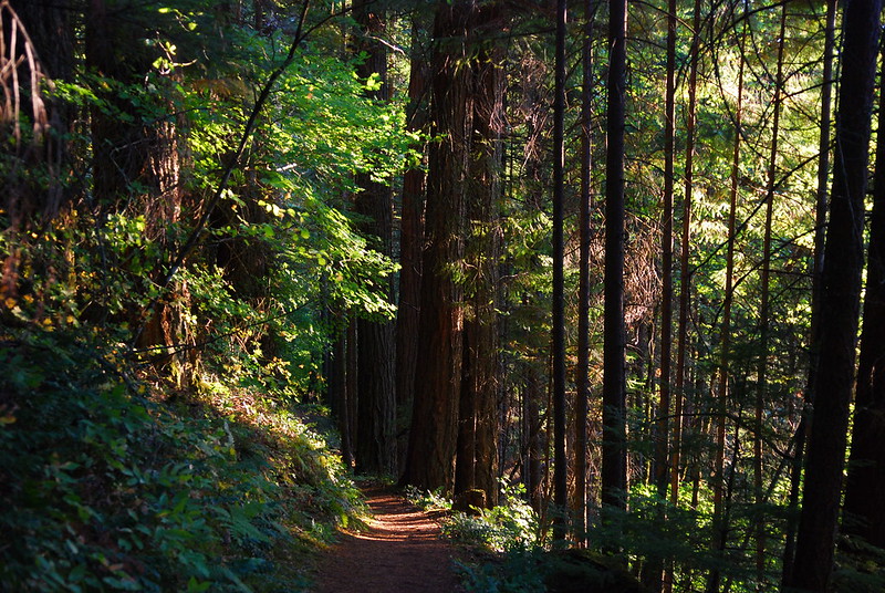
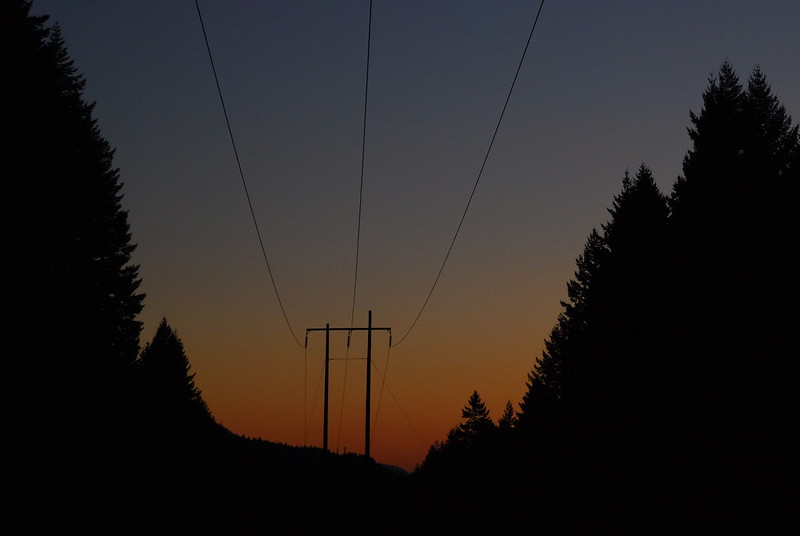
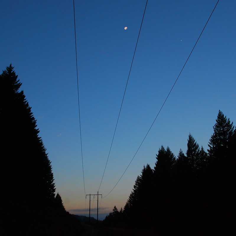
I dawdle enough on the way down that the sun’s setting by the time I reach the trailhead. There’s something nice about that, though: beginning and ending with the sun.
Adventures close to home.