October 16-17, 2017
After we got back from the Sierra, I snuck in a late-ish season backpack, all the way around St. Helens on the Loowit, counterclockwise from June Lake. I’d been vaguely thinking about doing it in a day, but, well… my winter transition from hiker to sloth was apparently already in progress, so I took two, even though it meant spending the second walking through a blizzard.
Monday, October 16
I sleep in, stop for a couple dozen coffees on my way to the TH, and don’t actually get hiking until nearly ten. Oh well.
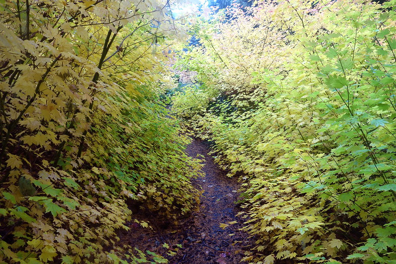
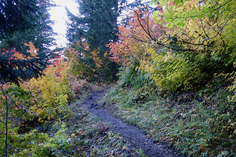
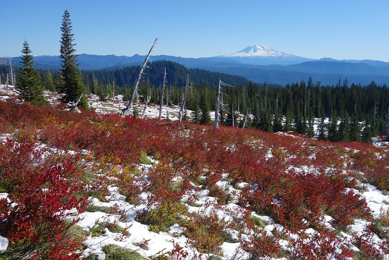
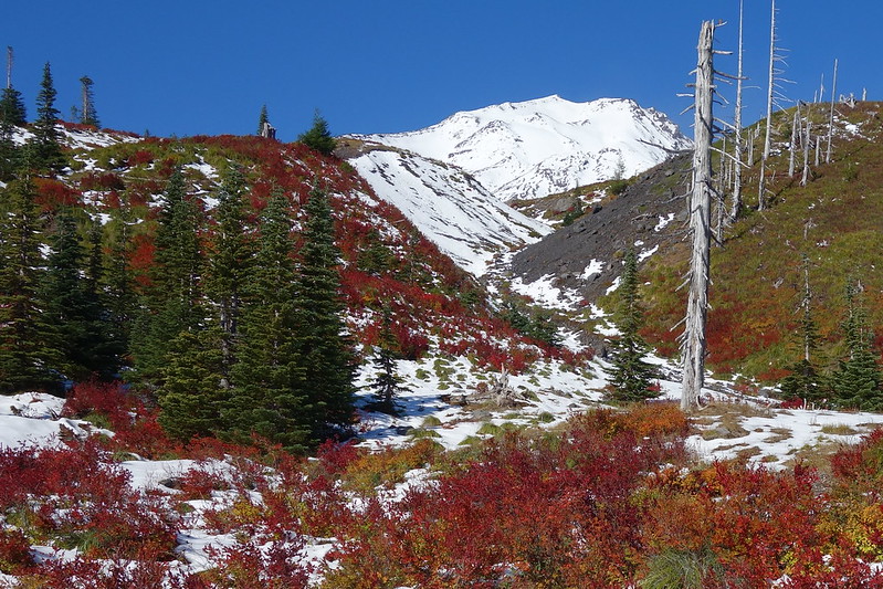
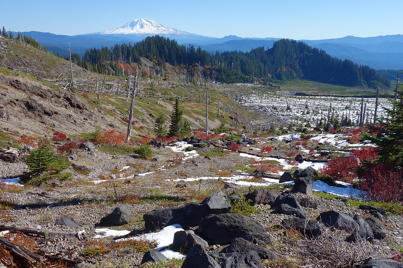
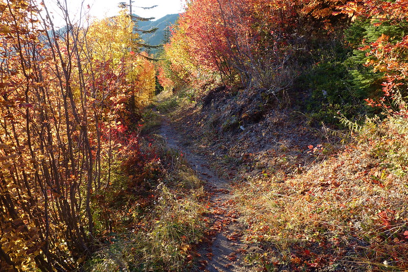
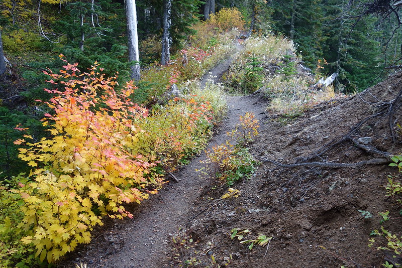
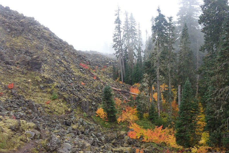
The mile and change to June Lake is easy and beautiful, filled with fall colors.
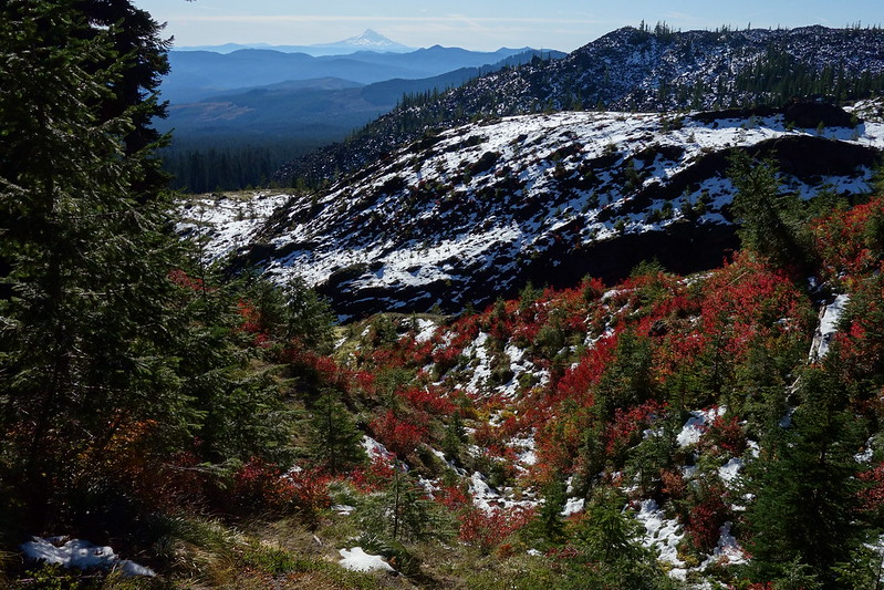
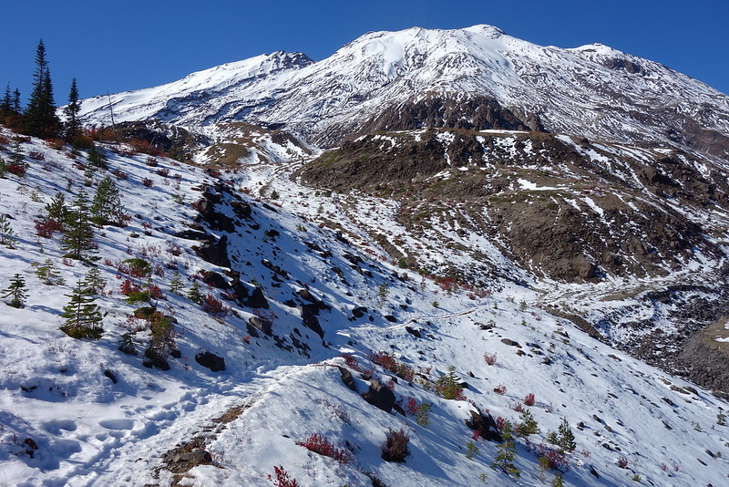
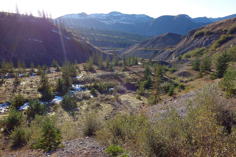
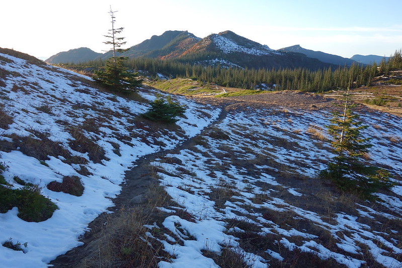
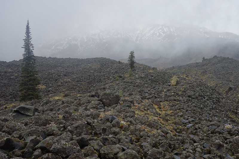
Snow shows up just as I hit the Loowit, and steadily grows as I climb up into the Worm Flows.
For some reason, I’ve always thought of the section between June Lake and Ape Canyon as mellow, but, with just enough snow to obscure some of the rockier sections, it’s slow going. And there are a few route-finding issues, all involving snow-obscured trail. One could probably do it without a GPS, but I’m seriously leaning on mine.

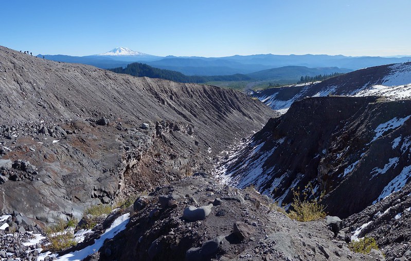
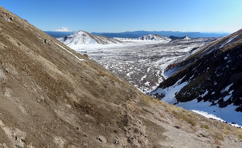
After what feels like way too long, I hit the Ape Canyon junction, and the Plains of Abraham, where I cut up toward Windy Pass.
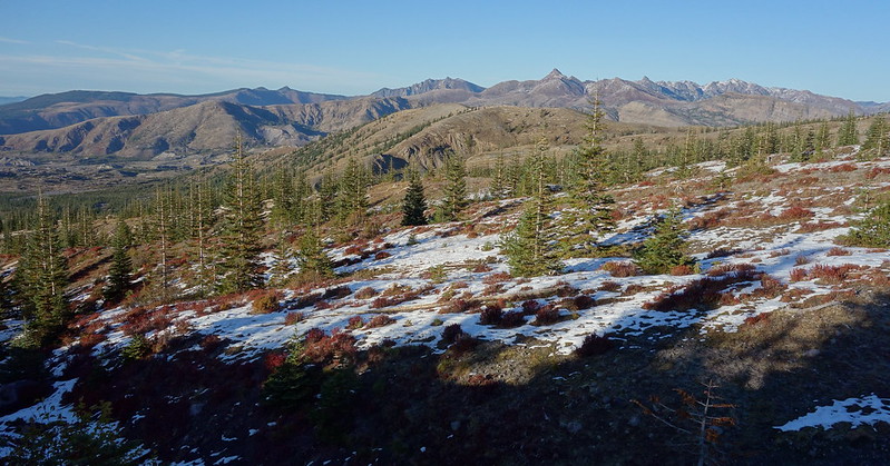
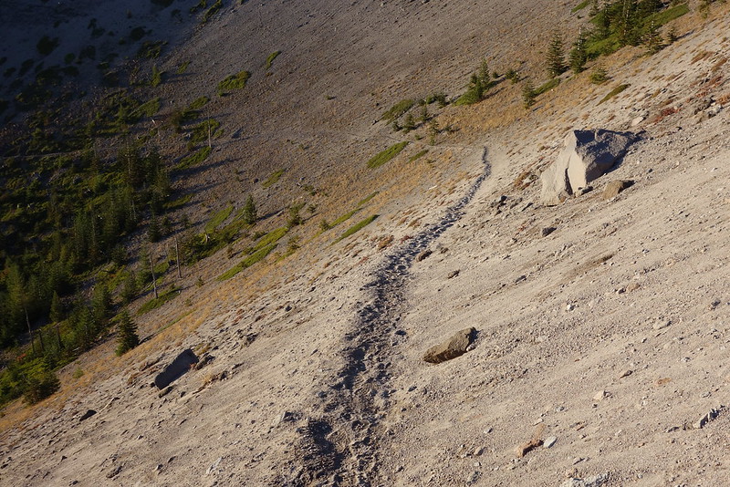
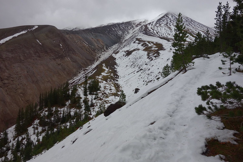
If there’s an actual trail on the south side of the pass, it’s doing doing an excellent job of hiding, so I end up following a mostly reasonable goat track up instead. It’s one of those step forward, slide back a step situations. But the basic laws of arithmetic notwithstanding, I do eventually make it up, to lovely views back at Adams, and forward to the Mt. Margaret Backcountry.
There’s sort of a proper human trail on the north side, though it leaves me missing the goats.
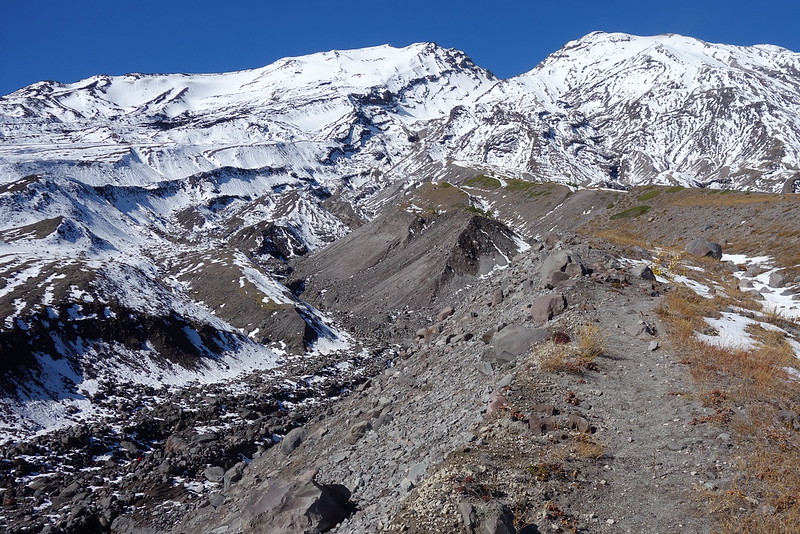
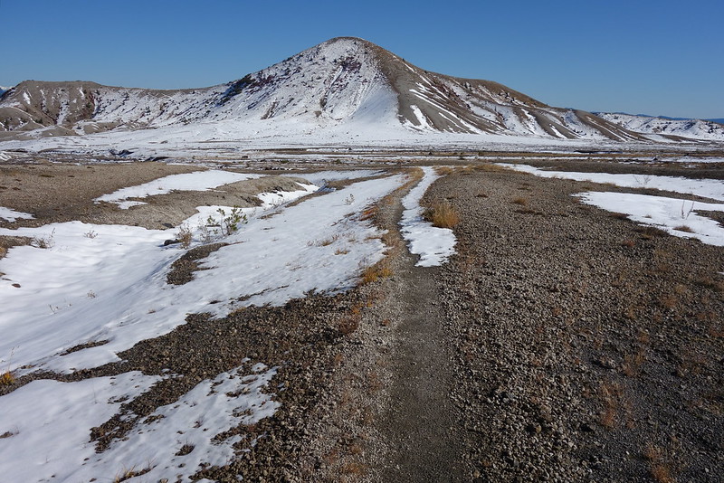
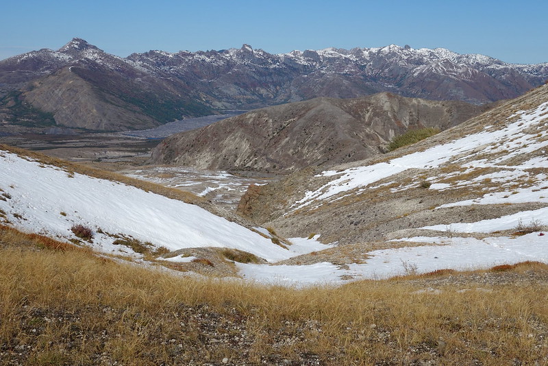
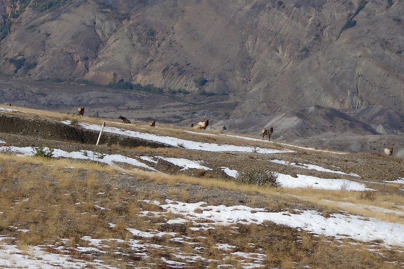
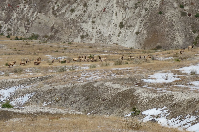
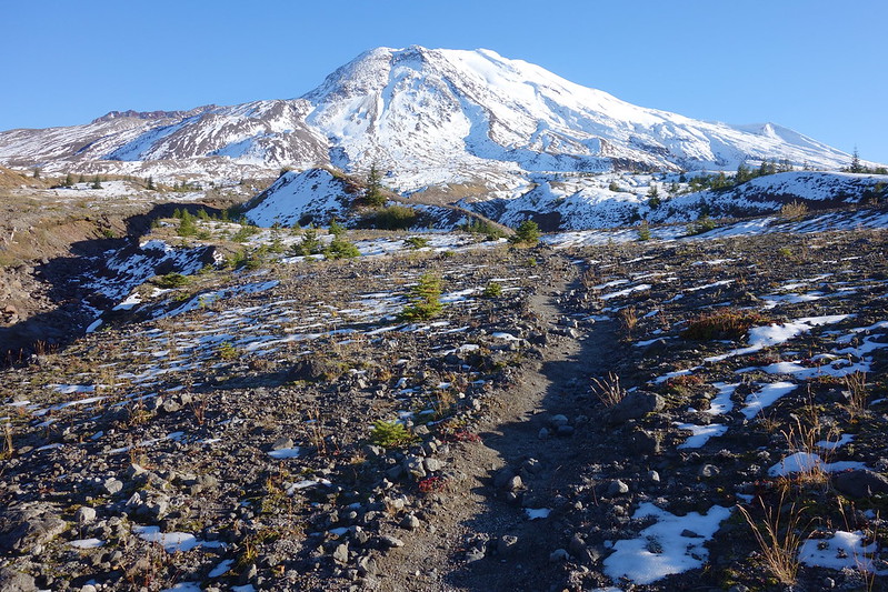
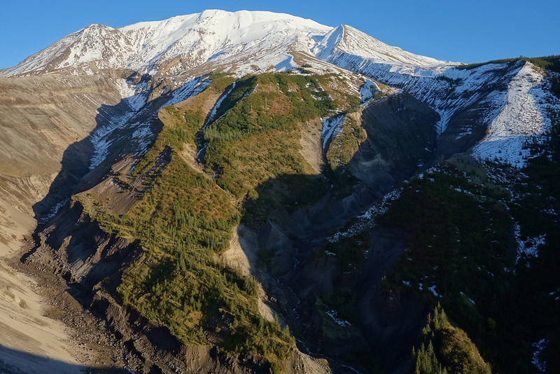
Traversing the blast zone is as pleasant as ever, with a goat and two herds of elk for company. I don’t think I’ve ever been in another place that feels as… I don’t know, in progress as this does.
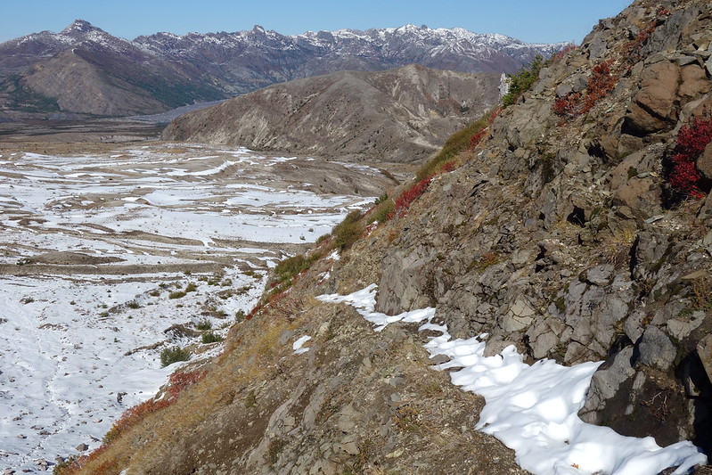
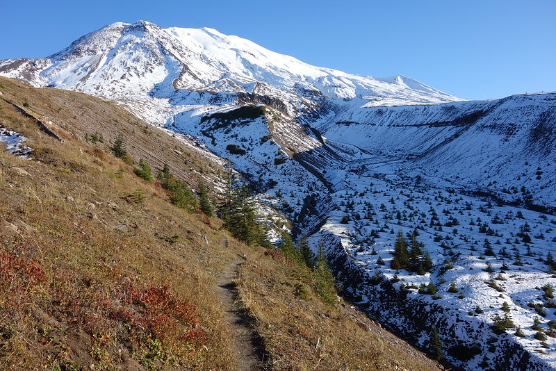
The scenery west of the Sasquatch Steps is all new to me, and it’s a thrill to see, even though I’m starting to get a touch nervous about time.
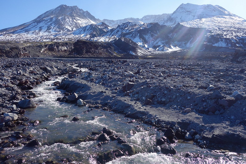
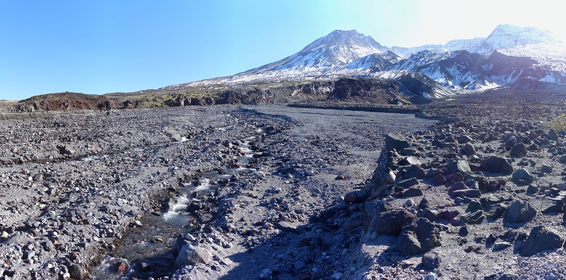
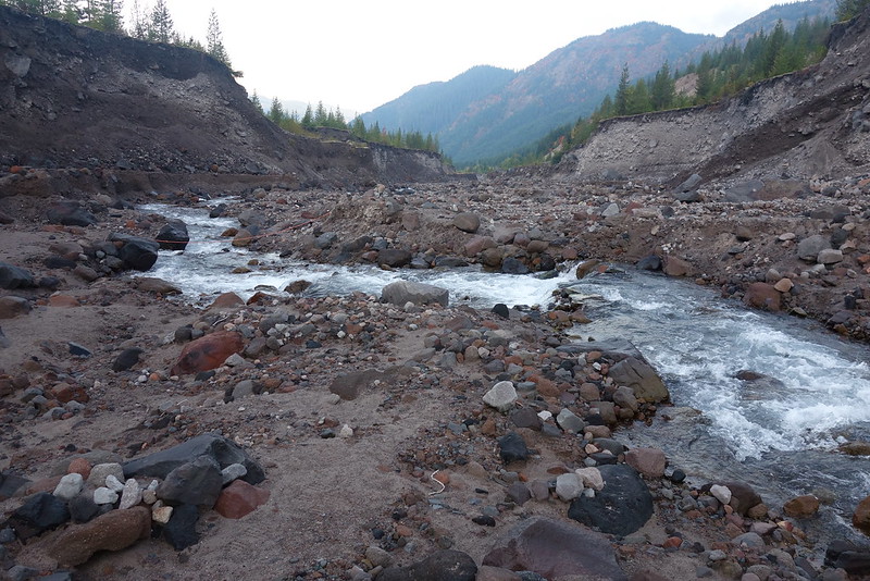
There are a few ups and downs between the Blast Zone and South Fork Toutle, but nothing major, and soon I’m rushing down the switchbacks, as the day’s just beginning to give way to evening.
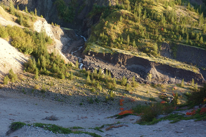
I stop at the river to grab some water for the night, then climb back out, and set up camp at one of several small spots on the south side. Then it’s just a lovely night, cooking dinner, drinking the entirety of my bourbon ration, and wondering when the rain will start.
Tuesday, October 17
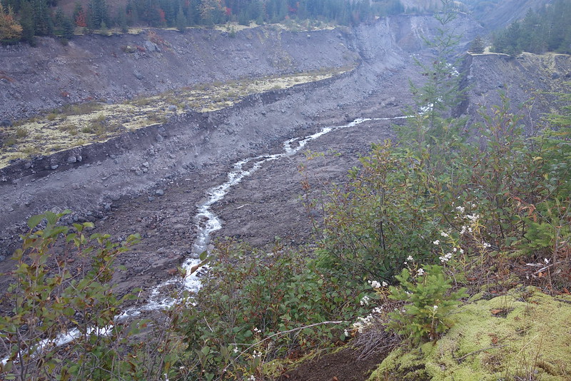
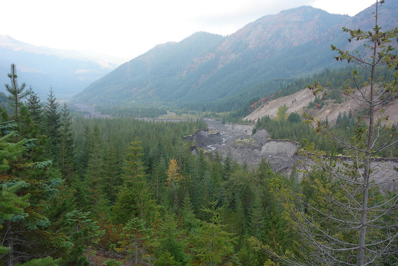
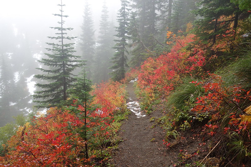
The rain holds off for most of the night, and I wake up to a very light sprinkling. After gingerly packing up and deciding to wait on breakfast, I start on what seems, on the map, to be a rough climb up Crescent Ridge.
It’s certainly steep in places, but never really all that bad, and pretty enough to keep one’s mind off it.
Halfway up, I meet a half dozen elk, I guess out for brunch, and have a very slight disagreement about the right of way. But they’re freaking majestic, rollicking through the woods. And it’s heartbreaking, a few minutes later, to hear a couple gunshots from down below.
I have no idea what it would be like to be the sort of person who sees animals that beautiful and thinks, “Oh, right, I guess it’s time to kill one of them.”
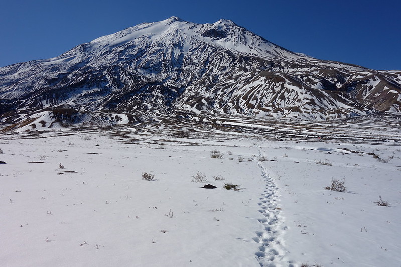
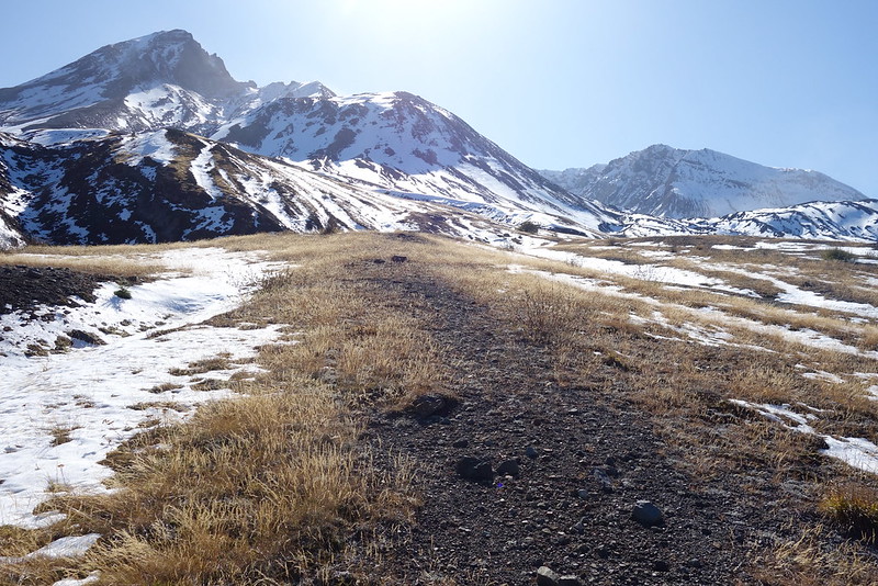
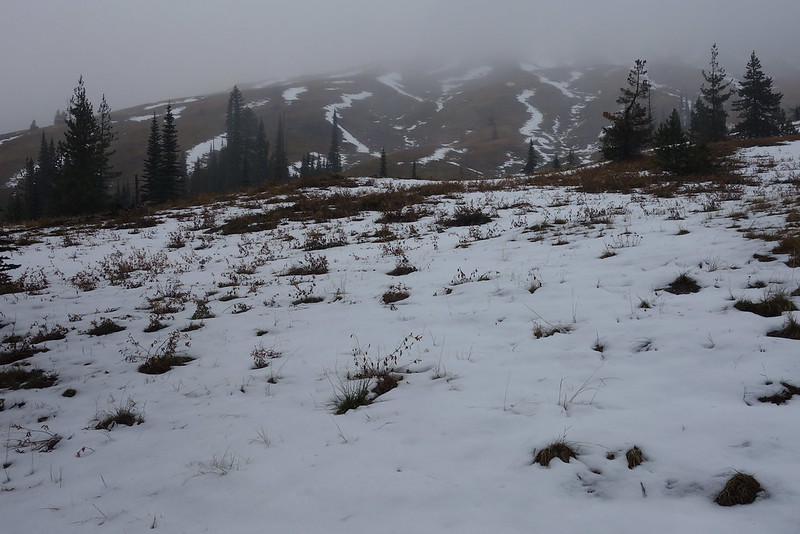
Anyway, soon the dirt gives way to snow, and my storm begins to blow over the mountain.

After the Sheep Canyon junction, the snow and sleet get worst, at times approaching 18″ covering the talus, with sleet creating something very close to a whiteout. And the crossings are, for someone who’s never been there, surprisingly difficult. I find myself climbing hand-over-hand up snow-covered scree. And, worst of all, I can’t find my Snickers!
Eventually, though, I just put my head down and make the miles, past Butte Camp to the Climber’s Trail, and, finally, back into the trees, where I find my Snickers, hiding in my rainpants.
Once back safely at June Lake, I pause for a second to have a (very!) late breakfast, and, as I always do at the end of trips like this, to look back through some pictures. I’ll have to come back next summer and redo the section between Crescent and Monitor Ridges: I’m sure it’s beautiful up there, when you can see more than 20′. But it’s still been such a lovely trip, and I feel so lucky to have sncuk it in, before the winter comes for good.