July 4-5, 2015
Krista and I had reservations for the Obsidian LEA in the Three Sisters this weekend, but forecasts called for it to be hotter than either of us wanted to deal with down there, so we settled for a quick one night trip to Mt. Hood instead. Starting from the Top Spur Trailhead, we hopped on the Top Spur Trail for a second to get to the Timberline Trail, then took that east to below McNeil Point and north-ish through Cairn Basin to Wy’East Basin. After setting up camp in the trees above Wy’East and eating a late breakfast, I took a dayhike up Barrett Spur. It’s amazing up there! In the evening, we rambled around the ridge that separates Wy’East from Cairn Basin, watched the sun set, and, by complete chance, saw Hood River’s fireworks from our tent.
Saturday
1.
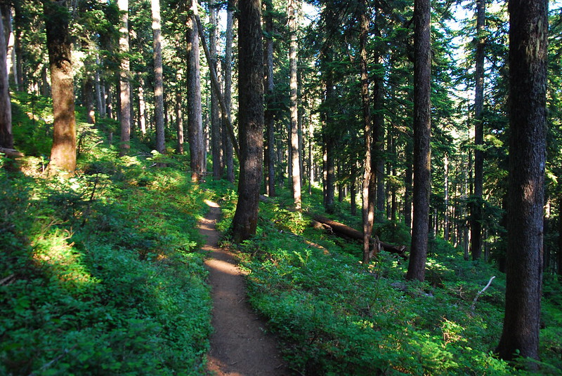
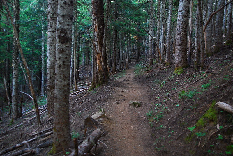
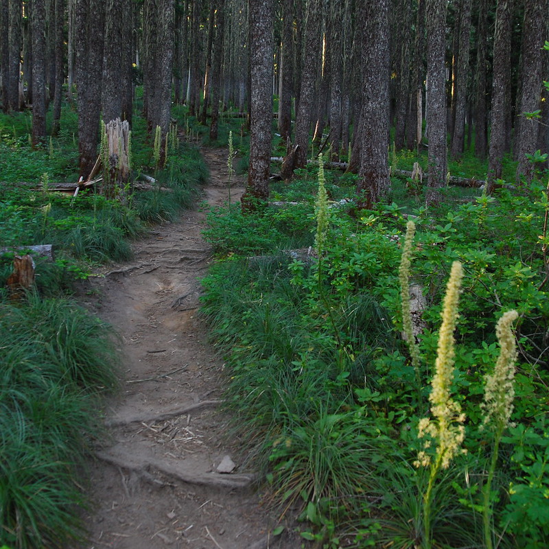
Wanting to beat the heat, we leave Portland around four-thirty Saturday morning. It’s only six when we arrive at the (surprisingly empty) trailhead, but it’s already getting warm. As we walk through the morning light, the woods shift from green to brown to green again, marking where an old fire once swept up the north side of Bald Mountain.
2.
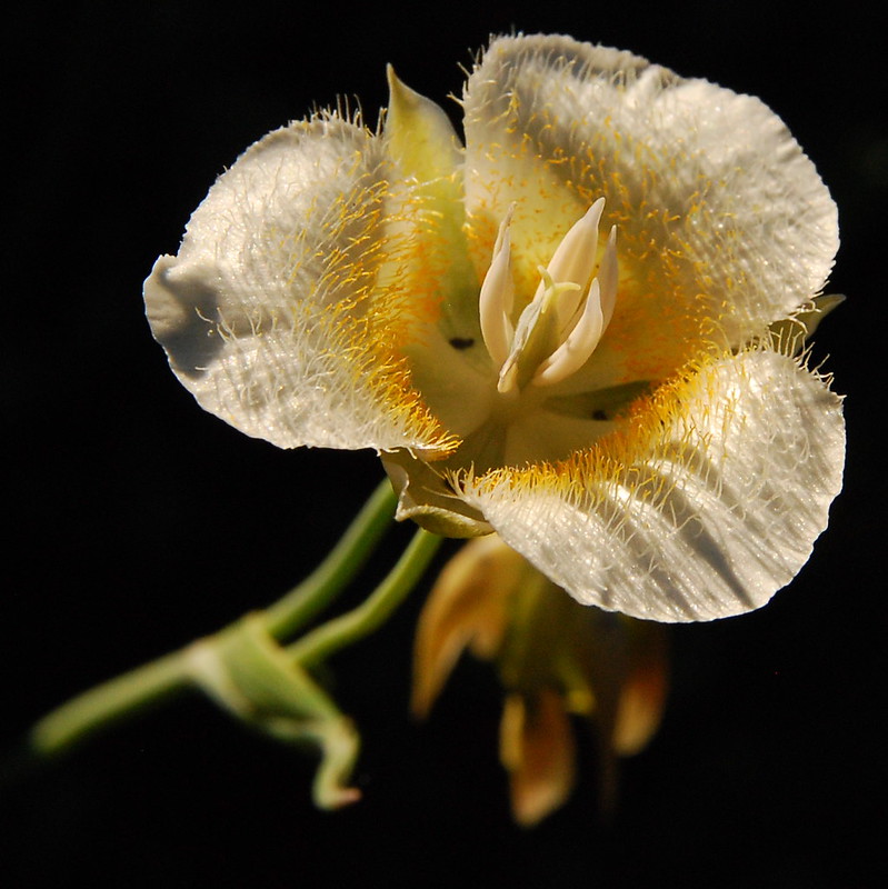
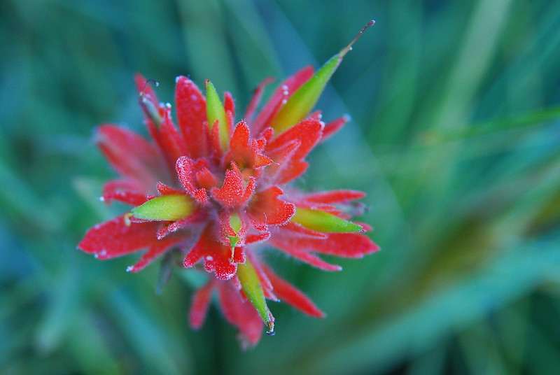
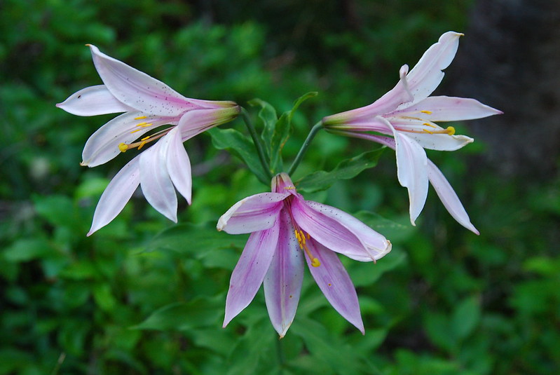
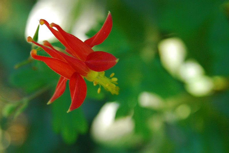
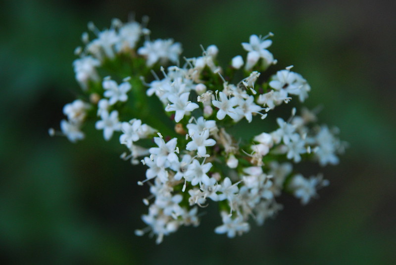
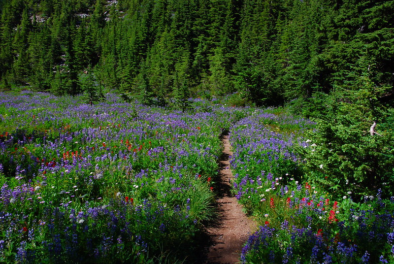
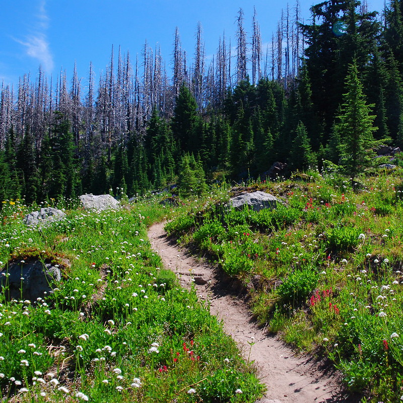
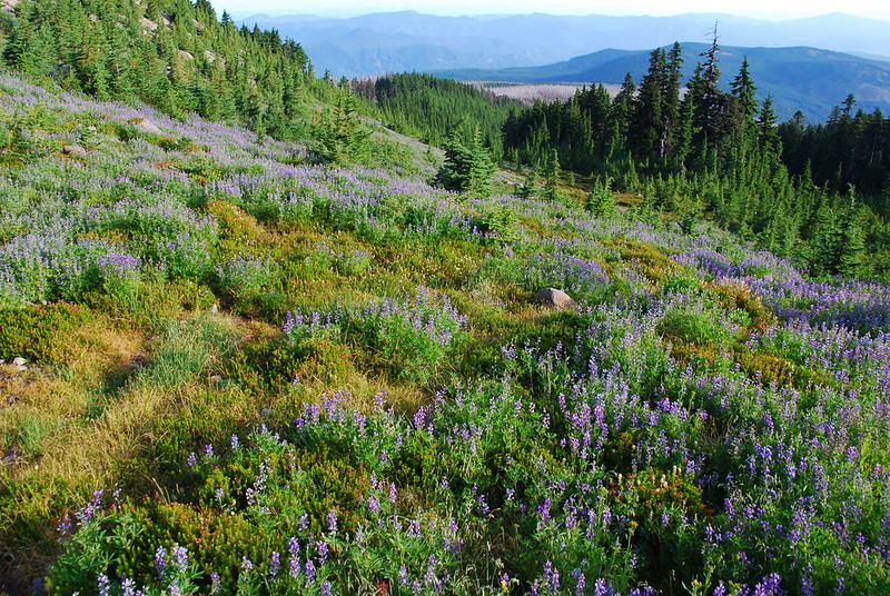
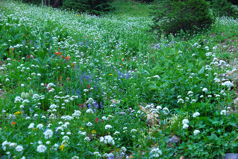
I’ve been expecting the flowers to be mostly on their way out, but, at the first meadow, they’re still going strong. We hang out for a while, trying (and failing) to get pictures of them all.
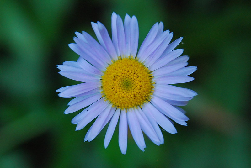
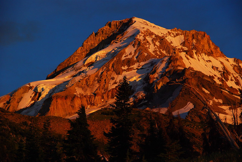
Oh, and there’s this mountain in the background too…
3.
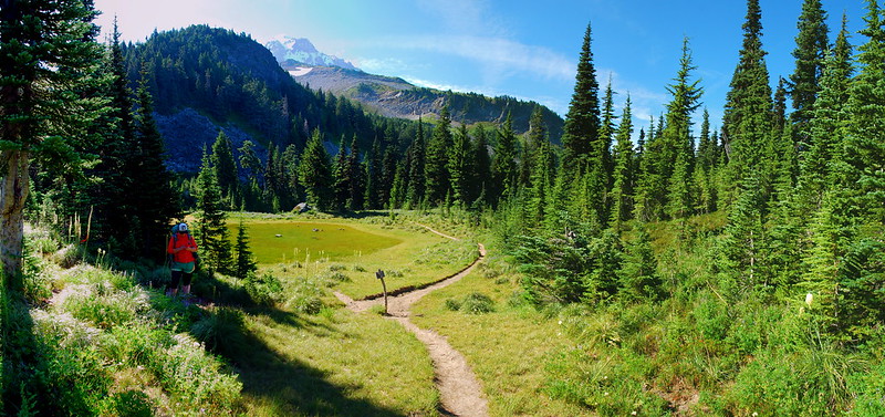
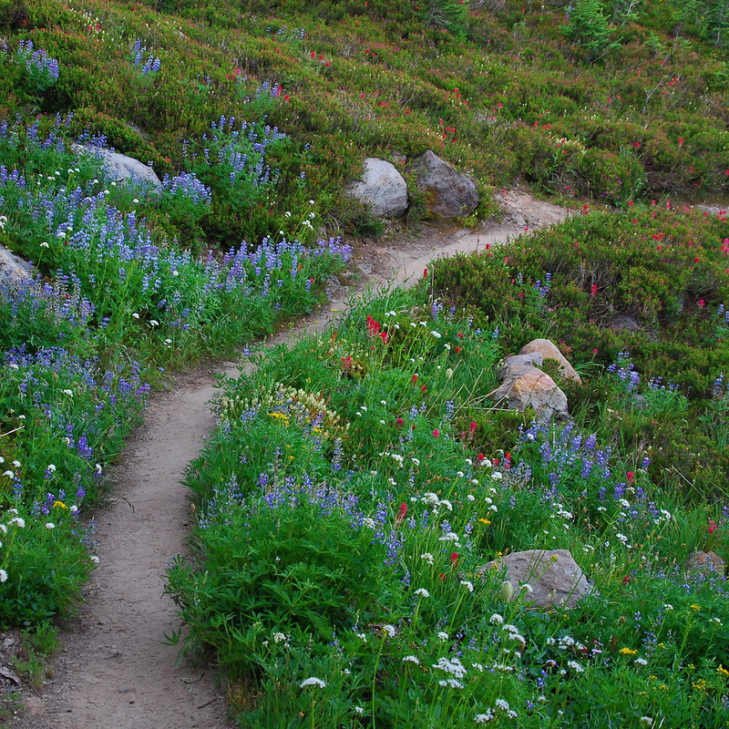
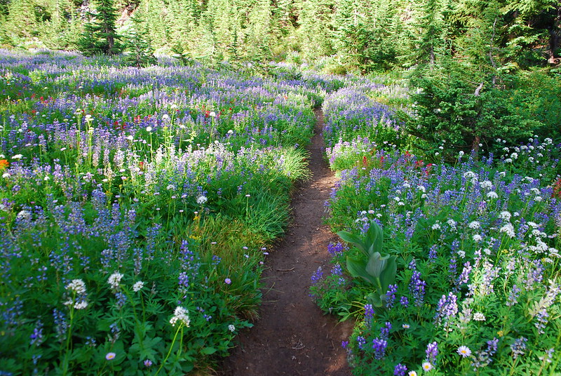
From the meadow, we climb through increasingly full fields of flowers and streams toward the Mazama and McNeil trail junctions. I tend to whine about trails that spend a lot of time in the trees, but this section’s really just beautiful, and we’re so grateful for the shade.
4.
We meet our first campers of the trip – camped, incidentally, right behind an “area closed for restoration” sign – as their adorable little dog comes out barking at us. So fierce! Then it’s on to the ponds at the base of the McNeil Plateau where the bugs, especially the flies, are very excited to greet us.
5.
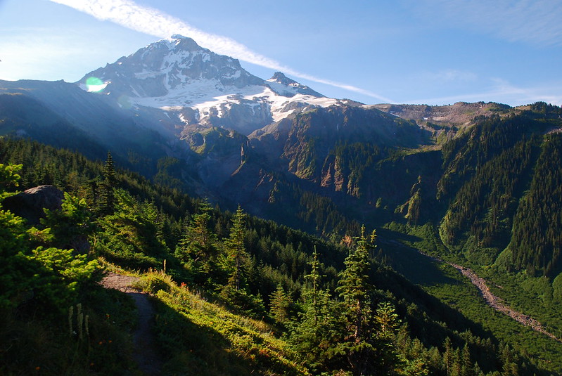
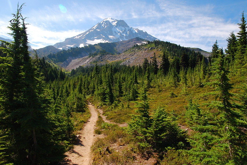
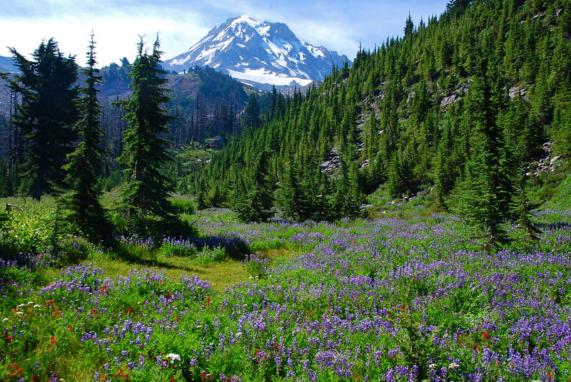
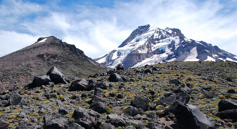
As we meander upward, the views from the open areas below McNeil are, as usual, excellent – so much so that I almost want to take a detour up to the Point. But I always want to take detours. Everywhere. Maybe next time.
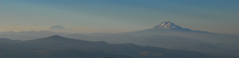
Anyway, here’s Hood:
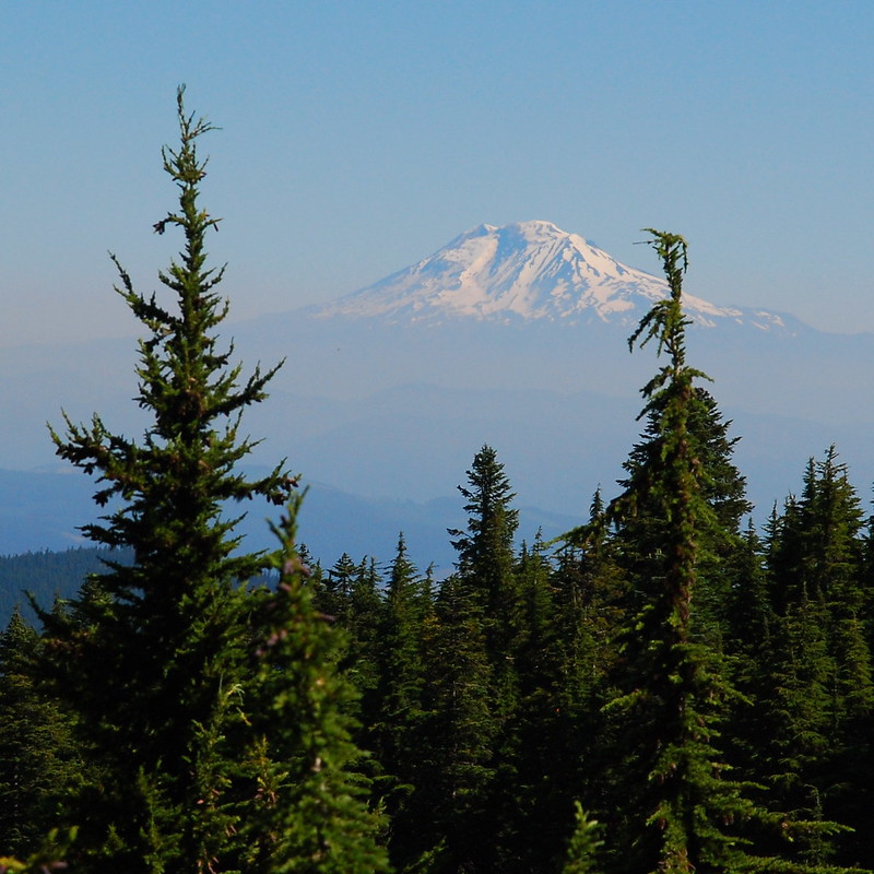
And here’s Adams:
6.
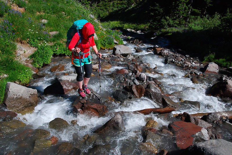
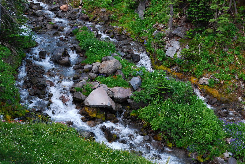
After we split from the trail to McNeil and continue north, there are two water crossings – both branches of Ladd Creek – that are not big enough to be scary, but still big enough to be noticeable. We do them with dry feet, jumping between slick sticks and wet rocks. I love this so, so much.

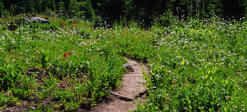
7.
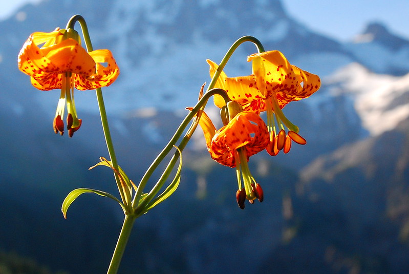
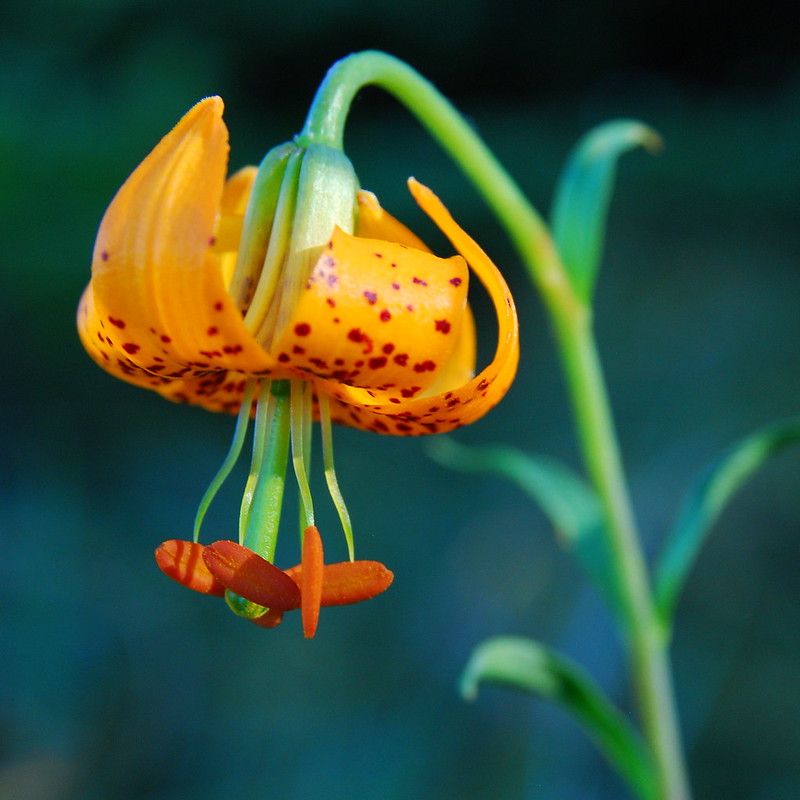
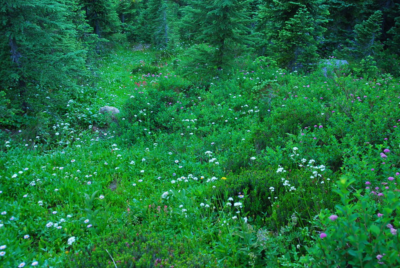
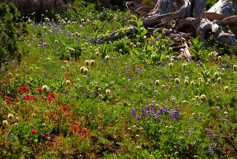
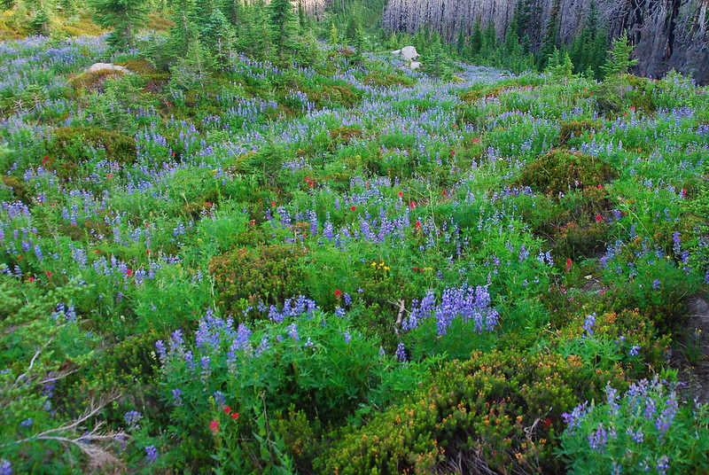
I’ve never been to Cairn Basin before – I’ve never actually been to a lot of places on the north side of the mountain – and it’s just so incredible. The flowers! Oh my god the flowers. It’s like the best garden in the world. It almost makes the whole idea of gardening seem silly, like an ocean flooding someone’s seaside pool.
The area’s obviously over-loved: there are campsites and use trails everywhere. But man: I get it.


Variations on a theme:
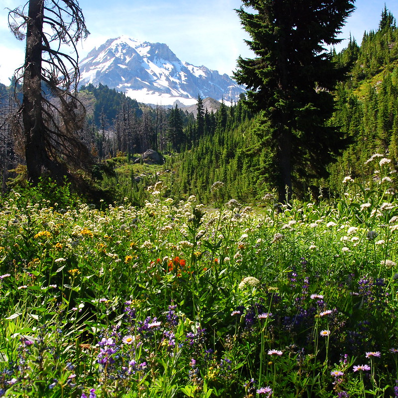
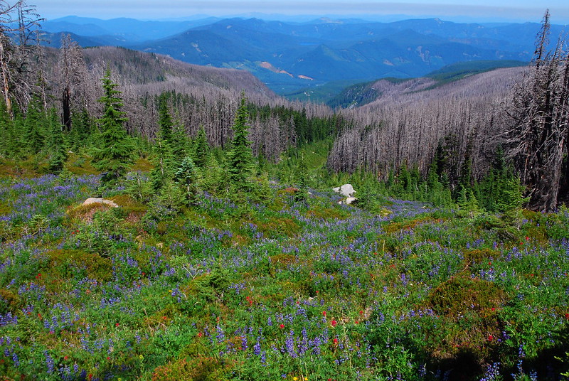
8.
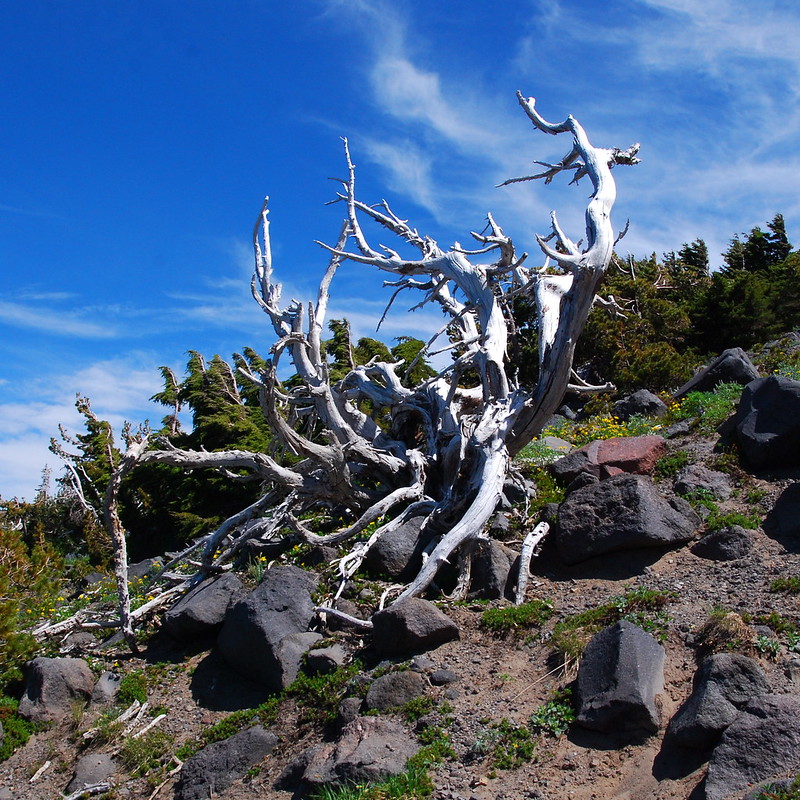
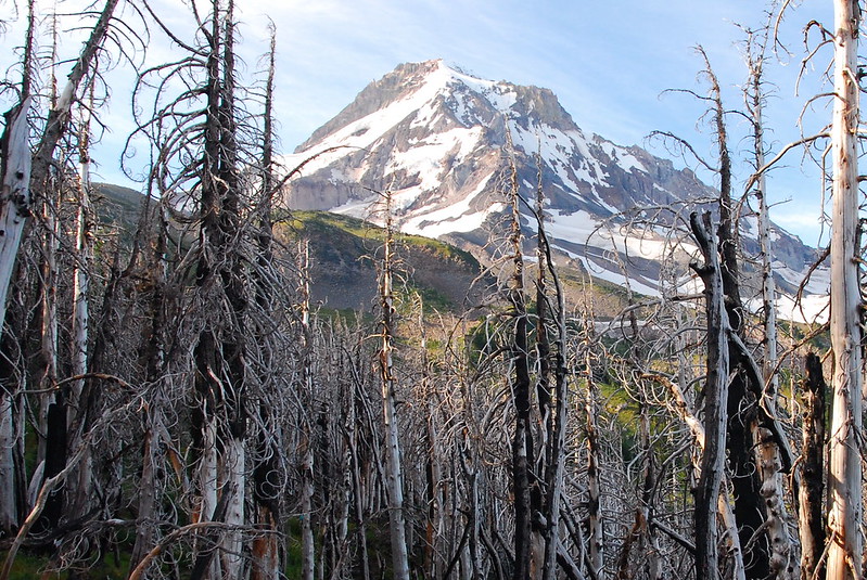
After leaving the basin, we pass into the Dollar Lake burn. It’s somehow different than the burn around Pole Creek, or even the one near Santiam Pass. Before the Forest Service starting trying to prevent anything from burning ever, most of the forests around here went through regular cycles of fire and regrowth. It’s part of the landscape. And this one seems more at home than others – less total. Flowers and trees persist among the standing snags.
9.
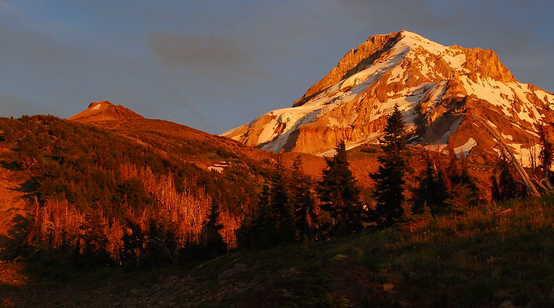
As we crest the ridge between Cairn and Wy’East basins, the day’s heat is starting to pick up in earnest, and we’re very relieved when we finally descend down into the basin to look for a campsite. Like Cairn Basin, the area obviously gets quite a bit of love, so we decide to head up a use trail toward Barrett Spur, to look for a spot in the trees above the melee.

The view from near camp:
10.
We’ve been in such a rush to beat the heat that we haven’t stopped for breakfast or anything, so after making camp, we luxuriate for a while with oatmeal and coffee (COFFEE!). Then Krista decides to take a siesta in the partially shaded tent, and I decide to walk up toward Barrett Spur.
The trail up to the spur from the basin is very, very obvious and easy to follow. And, apart from one final steep section, the tread’s pretty good too. If you’ve never been, I would definitely recommend it.
The landscape slowly shifts from meadow to rock to snow.
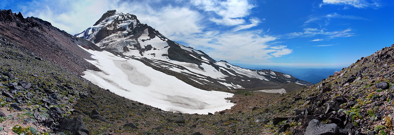
Approaching Barrett Saddle:
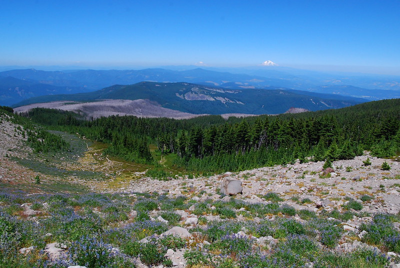
The view from the saddle:
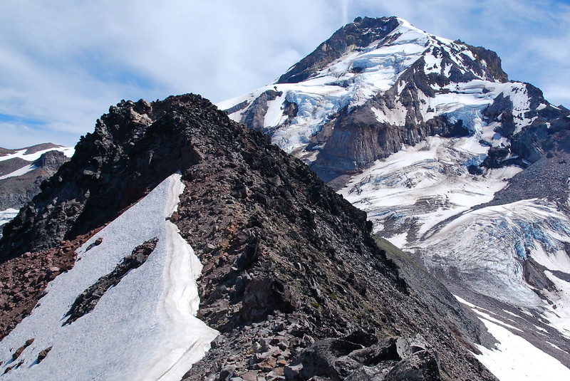
11.
Past the saddle, the trail fades and braids a bit. There’s nothing technical and nothing really sketchy, but I’m definitely careful with my footing on the way up.
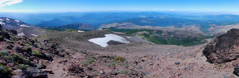
It’s cool to look back down. Here’s Elk Cove:

And a panorama of the whole business:
After climbing a first hill, there’s a false summit, and you have to descend slightly before climbing up to the real one. The rock here is sort of sharp and shifty. Near the top, I run into a guy who compares it to walking on dinner plates. Watch your step!
12.
It’s all worth it, though. The view from the top is just incredible.
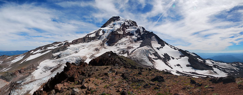
I think this is probably my favorite side of Hood. Barrett Spur splits the Ladd and Coe Glaciers, and from the top one feels almost surrounded by crevasses and ice fall, by meltwater streams rushing past glacial moraines, the freeze and thaw of a geographically still young volcano.
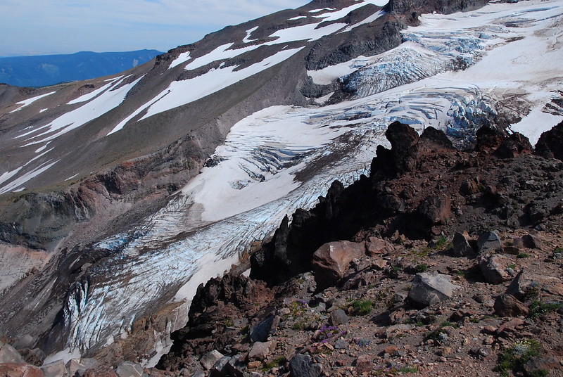
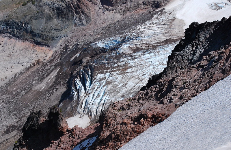
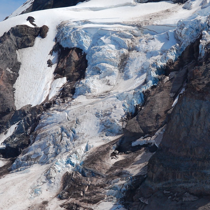

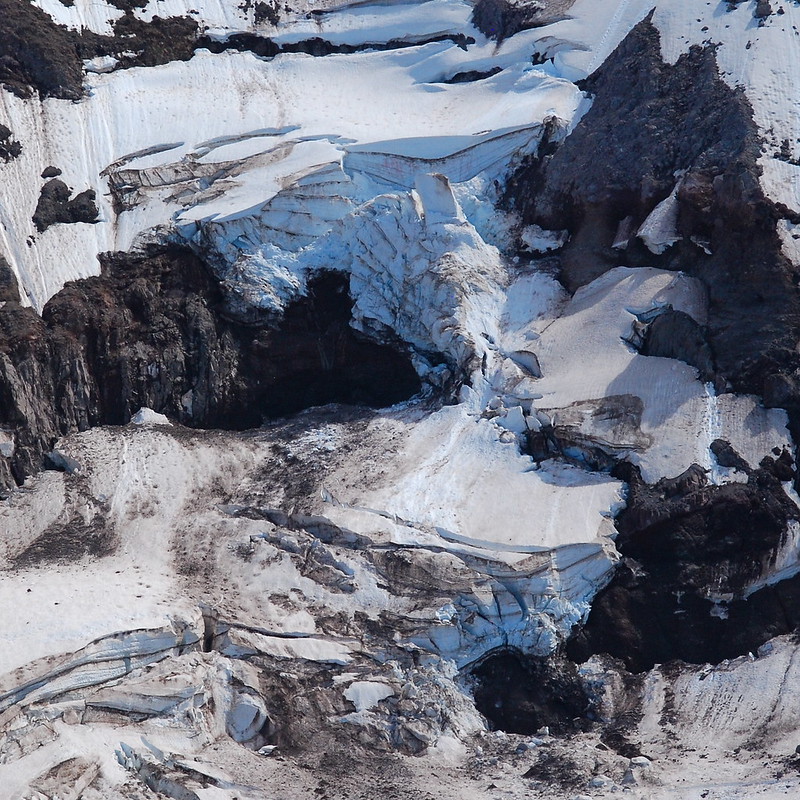
13.
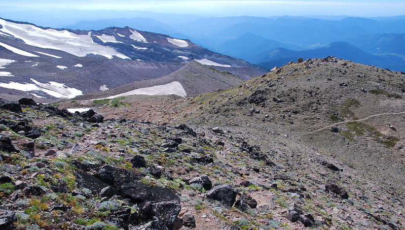
I could spend an eternity here, watching the glaciers shift and shrug downward, listening to the evening ice falls. At the very least, I’ll have to come back to explore all the ridges between Barrett and McNeil, the snow fields where glaciers used to be. But for now it’s time to go.
Notice the trail on the right?
Back near camp:

14.
By the time I get back and filter some water, we’re thinking about an early dinner (I guess skipping lunch will do that to you). We set up the stove as the light starts to mellow and the heat finally starts to fade.
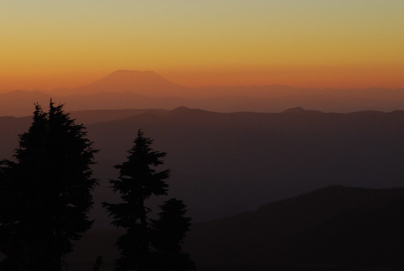
Because it’s only one night, we’ve brought uncharacteristically heavy (read: tasty) food, and I feel like a king eating in the gathering evening, watching the light shift over the Washington Cascades.
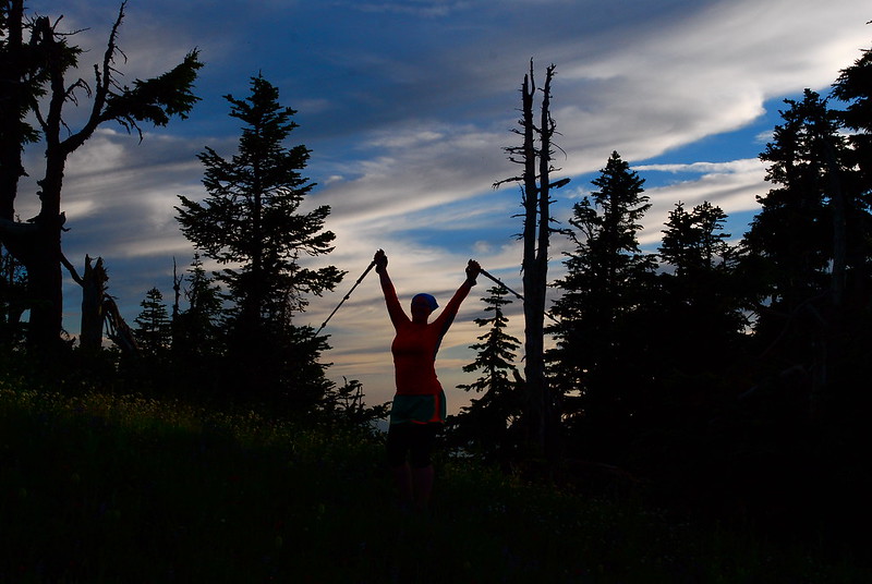
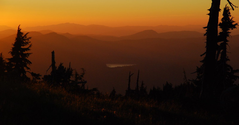
15.
After dinner and some lounging around, we meander out on a stroll to get a good seat for sunset. Down in the basin, we can see several tents and a bunch of people passing through. It’s like a park down there. It reminds me of this painting by Seurat. We talk about how grateful we are for our spot above it all. I love how, if you’re willing to go just a little bit out of the way, it’s still possible to get some solitude. Even on the fourth of July.
The sunset’s amazing.
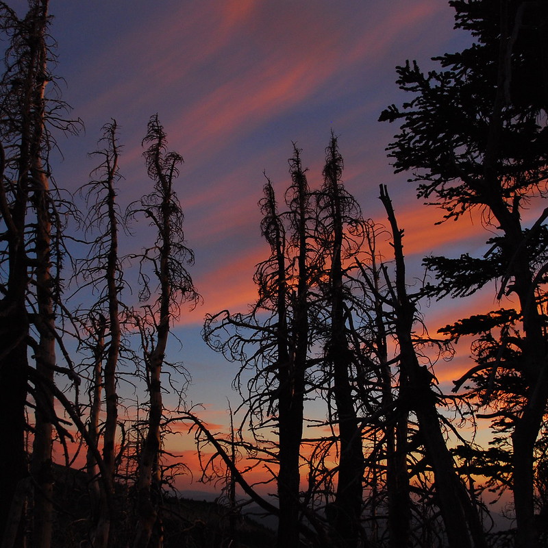
16.
As we’re falling asleep, I see a small burst of light, then another, then hear a faint boom, and realize, slowly, that we’ve somehow lucked into a view of Hood River’s fireworks. We both sit up and watch the show – a series of small pricks on the horizon – until it tuckers out twenty minutes later. Surreal. We fall asleep almost immediately.
Sunday
17.
We wake up early again on Sunday – right around six – to get out before the heat comes in, and do the whole hike in reverse. Back through flowers…

…and streams…

…and views.

This sounds like a wonderful trip!